Alerta
Alertas
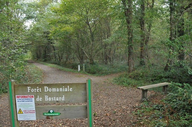
Crossroads of Salié, Roumieu and Ossalès
Descripción
300 m further on, leave a grassy track in front of you to keep to the gravel track that bends 90° to the right. The Morlanné track (tarmac) takes over and brings you to a T-junction: go left for 50 m, then turn right (Larricq bus shelter). Quickly ignore a cul-de-sac of the same name on the right and the accesses to the housing estates, keeping the main road between the houses. At the end, carefully cross the D222 (traffic) and continue straight ahead along the (tarmac) Morlanné lane. 800 m further on, cross another road (be careful) and walk straight ahead through the villas on the Pont Long moor. At number 1314, at the four-way junction (8 km / 2h00), turn left onto the Chemin de Petit. 150 m further on (T), turn left again, then right at the metal barrier. The track runs alongside fields facing the Pyrenees (leave the side paths on either side). At the end of the straight, the gravel path veers left, then right, and crosses a stream. After 100 m of tarmac, fork right onto a gravel path towards a riding school. In front of the entrance to the buildings, veer to the right and follow a path along the fence into the Bastard national forest. Once through the gate, turn right onto the wide, straight path (3rd alleyway east) for 1.2 km. Relaxation area and water point (information), at the junction of Salié, Roumieu and Ossalès roads.
