Tours
Activities
Places of interest
Where to eat
Where to sleep
Camping Les Sous Bois du Lac de Naussac ***: Adventure and Relaxation in Chastanier
Are you the owner?Embark on a journey through the natural and cultural wonders surrounding Chastanier in Lozère from Camping Les Sous Bois du Lac de Naussac ***. Enjoy the charms of Lake Naussac with various water activities such as canoeing, kayaking, and windsurfing. Hiking enthusiasts can rejoice in exploring the numerous marked trails crisscrossing the region, offering exceptional panoramic views of the Margeri...See more
Walking around CAMPING LES SOUS BOIS DU LAC DE NAUSSAC ***
See more suggestionsStroll through the walking routes of CAMPING LES SOUS BOIS DU LAC DE NAUSSAC ***.
See more suggestions


")


")


What to do in CAMPING LES SOUS BOIS DU LAC DE NAUSSAC ***
See more suggestionsFind bookable activities in CAMPING LES SOUS BOIS DU LAC DE NAUSSAC *** for an unforgettable experience.
See more suggestions


IGN cards
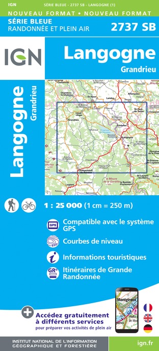
2737SB - LANGOGNE GRANDRIEU
Editor : IGN
Collection : TOP 25 ET SÉRIE BLEUE
Scale : 1:25 000
13.90€

TOP100D48 - LOZÈRE MENDE FLORAC-TROIS-RIVIÈRES PARC NATIONAL DES CÉVENNES GORGES DU TARN ET DE LA JONTE
Editor : IGN
Collection : TOP 100
Scale : 1:100 000
8.40€

TOP100D07 - ARDÈCHE PRIVAS AUBENAS VALLON-PONT-D'ARC PNR DES MONTS D'ARDÈCHE
Editor : IGN
Collection : TOP 100
Scale : 1:100 000
8.40€

TOP100D43 - HAUTE-LOIRE LE PUY-EN-VELAY BRIOUDE GORGES DE L'ALLIER
Editor : IGN
Collection : TOP 100
Scale : 1:100 000
8.40€
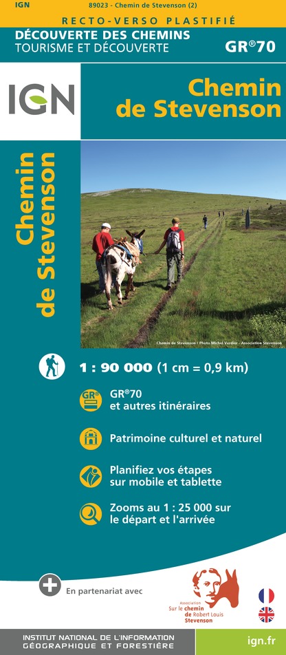
89023 - CHEMIN DE STEVENSON - GR70®
Editor : IGN
Collection : DECOUVERTE DES CHEMINS
Scale : 1:90 000
9.10€

D07-26 ARDÈCHE DRÔME
Editor : IGN
Collection : CARTES DÉPARTEMENTALES IGN
Scale : 1:150 000
5.90€

D12-48 AVEYRON LOZÈRE
Editor : IGN
Collection : CARTES DÉPARTEMENTALES IGN
Scale : 1:150 000
5.90€

D42-43 LOIRE HAUTE-LOIRE
Editor : IGN
Collection : CARTES DÉPARTEMENTALES IGN
Scale : 1:150 000
5.90€

EUROPE
Editor : IGN
Collection : DÉCOUVERTE DES PAYS DU MONDE IGN
Scale : 1:2 500 000
7.00€
What to visit in CAMPING LES SOUS BOIS DU LAC DE NAUSSAC ***
See more suggestionsEnjoy the green spaces of CAMPING LES SOUS BOIS DU LAC DE NAUSSAC ***.
See more suggestions


Where to eat in CAMPING LES SOUS BOIS DU LAC DE NAUSSAC ***
See more suggestionsA wide selection of restaurants awaits you in CAMPING LES SOUS BOIS DU LAC DE NAUSSAC ***.
See more suggestions


Where to sleep in CAMPING LES SOUS BOIS DU LAC DE NAUSSAC ***
See more suggestionsBook your stay at one of CAMPING LES SOUS BOIS DU LAC DE NAUSSAC ***'s accommodations.
See more suggestions


