Tours
Activities
Places of interest
Where to eat
Where to sleep

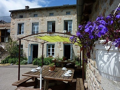
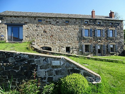
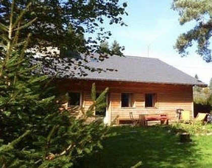
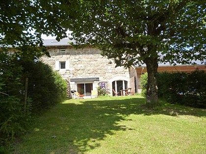
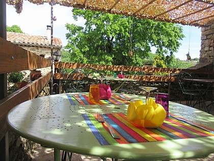
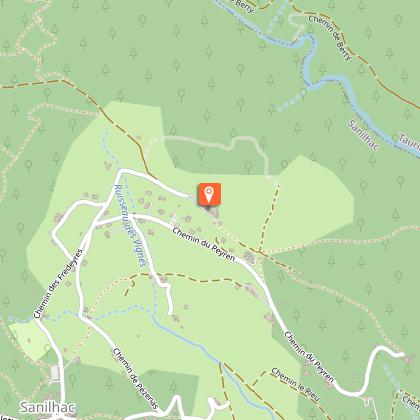
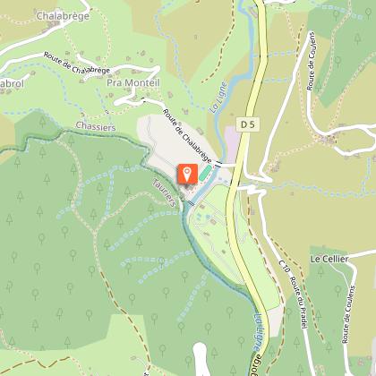
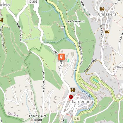
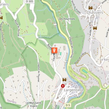
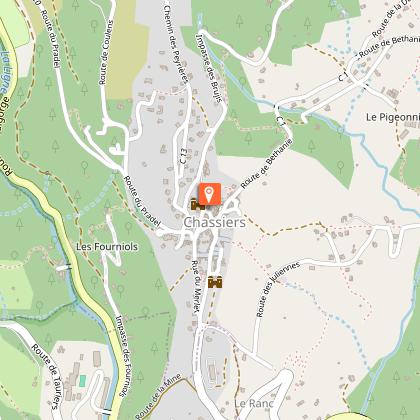
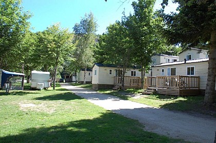
Nature Camping Beyond the Clouds: Adventures in Landos, Auvergne

Are you the owner?
Nestled in the heart of the beautiful Auvergne region, Nature Camping Beyond the Clouds serves as a gateway to a multitude of activities and local attractions. Hiking enthusiasts will relish the numerous trails weaving through the volcanic landscapes of Haute-Loire, with Mount Mézenc offering breathtaking views just a short distance away. History buffs can explore the hidden treasures of Landos, s...See more

Walking around CAMPING NATURE AU DELA DES NUAGES

See more suggestions
Embark on a hike in CAMPING NATURE AU DELA DES NUAGES.
See more suggestions
Du Gévaudan au Velay
14 km

Du Gévaudan au Velay

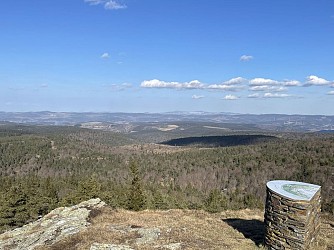
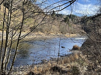
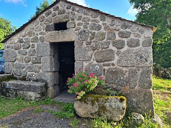
Beautiful panoramas that deserve to be admired at length. Cross the village square, keeping to the left of the trailhead sign so that the war memorial and fountain are behind you. Take the right-hand street at the fork and head towards the fountain opposite, against a wall. At the fountain, turn right between the houses, then right again at the next intersection. The route descends; continue straight ahead until you reach a fork. Turn left and follow the path between hedges or stone walls to reach the village of Freissenet. At the intersection, turn left, then immediately right. Turn left again, go behind the buildings, and follow the path as it climbs gently until you reach the road. Turn right, then right again for a few meters, continuing along the D32. Cross the departmental road just before a stone cross. Take the path opposite, which leads towards the houses and cuts across the switchbacks of the D325, and descend to the church square in Saint-Vénérand. Continue along the road and at the next intersection near the farms, take the left-hand path. Enter the beech forest and walk through it. At the end of the walk (there is a risk of flooding in wet weather), you will reach the edge of the hamlet of Ménial. Take the road to the right and, 100 meters further on, turn right again onto a farm track; follow it straight ahead for about 1 km until you reach a sharp right turn. Take the path to the right and then immediately to the left (if there is an electric fence, return to the previous intersection by going straight ahead to the road and then turn right to reach the houses). At the houses, leave the road and take the path to the right. Cross the D32 (caution) at the place called La Pierre Plantée and continue straight ahead until you reach the D 59 road; take it on the left (caution) to return to the starting point.

3 h
8.8 km
Medium
Show
Bel Air
16 km

Bel Air

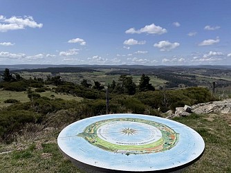
Beautiful views of the Haute-Loire hills Join the main crossroads in the center of the village of Saint-Symphorien. Turn right, then, a few meters further on, take the gravel path on the left leading to the orientation table. Return to the junction and turn left onto the paved road. Walk alongside the houses of the hamlet of Pissepeau, continuing straight ahead on the road to reach the entrance of the hamlet of La Vialatte. At the crossroads, cross the road, leave the village on your right, and follow the path opposite, continuing straight ahead to the hamlet of Donaldès. Go straight ahead and cross the hamlet. Turn right onto the path that climbs uphill, keeping the various intersections on your left, and continue straight ahead to reach a crossroads. Turn right to reach the hamlet of Beysserettes; cross through it. Take the left-hand path, which continues as a track (pay attention to the trail markers). Take the track that winds its way into the woods. At the next junction, turn right and continue to the following intersection. Turn right again and enter the forest; follow the grassy path that runs along the edge of a field bordered by a low wall and a hedge of trees on its right. You will cross through large woods, continuing straight ahead between barbed wire fences and stone walls. At the edge of the woods, turn right, walk alongside farmland on your left, and pass near the Mas Chambaud farm. At the next junction, take the left-hand path. You will see the steeple of the church of Saint-Symphorien and, further on, the Margeride mountain range (Col de la Baraque des Bouviers, 1,400 m, to the west) on the horizon. Return to the starting point by road.

3 h
8.1 km
Medium
Show
The Ferjasses trail
35 km

The Ferjasses trail

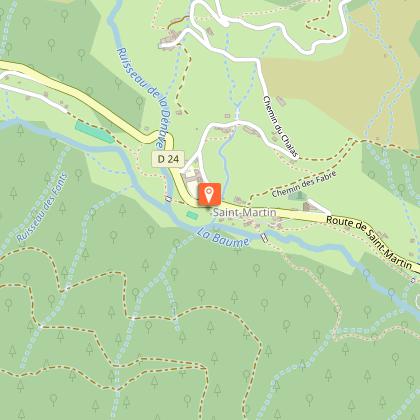
This trail on the crest of the Tanargue plateau, which rises to over 1,300 m, offers superb views of the Ardèche mountains and beyond. P – Take the tarmac road towards Loubaresse. Just after the fire station, take the steps leading down to the left (). The path continues under the chestnut trees then across old terraces to the hamlet of Saint Martin above you.   Saint Martin - Follow Le Chalas 1,2 km, Croix de Bancillon. Go under an archway and turn right up the steps (). Take the main road on the left and cross it in front of the phone box. Take the tarmac road on the right, and cut down along the stone path to reach Le Derlay. Le Derlay - Follow Le Chalas 0,9 km, Loubaresse 8 km. The path climbs through the meadows then curves left in front of the houses and joins a tarmac road. Follow the road to the left for a few dozen metres, paying attention to the signs to leave the road by a path that heads left. It then joins the road, which you have to cross. Turn right and go up between the chestnut trees, then join a track between two walls that leads to the hamlet of Chalas. Cross the path and continue between the houses to reach the Chalas crossroads. Le Chalas - Follow La Grangette 15,8 km, La Croix de Beauzon 18,3 km. Go right of the house, cross the road and take the path opposite, between two stone walls.  The path re-emerges a little higher up the road. Go straight on and turn right onto the road. Leave the road and take the small path that goes up on the left. Follow the signs to Méjean. Méjean - Follow La Grangette 1,4 km, Loubaresse 10 km ().Continue along the ridge until you reach a track to the right. Follow it to the La Grangette hairpin bend. La Grangette - Follow Loubaresse 8,2 km by the main path that takes you to L’ Escoufour. L'Escoufour - Follow Le Chalas 3,2 km, Valgorge 5,7 km along the yellow and white marked track. When the track turns right at a right angle, leave it and take a path down to Le Ségur. Follow the signs. Le Ségur - Follow Valgorge 3,1 km. The track takes you to a stream; cross the stream and continue on the opposite side. Cross over a second stream before heading towards the fields and then to the houses in the hamlet of Chalas. Enter the small hamlet of Chalas du Haut, turn right after the first house onto the yellow and white marked path that descends between low walls. At the bottom of the descent, turn left to reach Chalas du Bas. Le Chalas - Follow Valgorge 2,2 km. Cross the road then take the steps opposite. The path goes down between two low walls then through the chestnut trees before reaching a road. Cross the road and head towards the houses before returning to the road and following it right. Leave the road by going right before the last houses and go down to Le Derlay. Le Derlay - Follow Valgorge 1,6 km. The path runs along the slope before turning right and going under some trees, then continues straight on before winding past some houses. In Valgorge, turn right on the main street and return to the start point.

6 h
15 km
Easy
Show
Montselgues blockfield
36 km

Montselgues blockfield

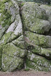
The Montselgues blockfield path makes its way through a wild landscape dominated by the mineral element : granite. This beautiful hike evokes granitic Britanny with a whiff of legend. First, take the road that goes north out of the village, in the direction of Teste Rouge and Pradon. After about 100 m, turn right on a stony path leading to la Borie, 2 km away. You will first have to confront a difference in height of 90 m uphill, then the equivalent douwnhill, and you will see how unlike those two slopes are. On the first part, you will not find any blockfields but, on the contrary, a quiet landscape, very green, with gentle shapes and a moderatly steep gradient. Stone buildings bear witness to old developments : the rocks and walls along the way, the cross, the small bridge, the calade (cobblestone path), the paving on the path made out of grey, pink, yellow granite stones... Once you reach the road leading to la Borie, follow it uphill on your left for about 100 m, then pass the tight bend of the road, leaving the shed on your left. After 20 m, the path leaves the road and passes between the two houses on the right to climb among rocks up to Petit Paris, perched on the top. Go through the hamlet. Just out of Petit Paris, a bench carved out of stone invites you to sit down for a while. The walk continues on a path lined with rocks. After 1 km, you will see on your right one of the most beautiful granite blockfields in the area. A natural treasure less unusual in Brittany or the Auvergne, not to mention the numerous places around the world where the old basement rises to outcrop, on every continent. 500 m after the blockfield, you will go through the Cayres hamlet, a toponym that could mean either angle or remote place. You can pick the meaning you like. Carry on after the farm and take the road (yellow markings) on your left, follow it to the end of the downhill gradient, then take the track suitable for vehicles in front of you towards the ridge. The way back to the village will take you on the ridge of one of the plateau de Montselgues' corrugations, first called Pierre plantée, then Serre de Teste Rouge. The word serre means, depending on the place, an elongate mountain or a high point with gentle or rounded slopes. Once on the road, at the pass, take the tarmacked road that goes directly down to Montselgues, your starting point.

4 h
11 km
Easy
Show

What to do in CAMPING NATURE AU DELA DES NUAGES

See more suggestions
Activities for all tastes await you in CAMPING NATURE AU DELA DES NUAGES, book them today.
See more suggestions

What to visit in CAMPING NATURE AU DELA DES NUAGES

See more suggestions
Taste the culinary specialties of CAMPING NATURE AU DELA DES NUAGES.
See more suggestions
Where to eat in CAMPING NATURE AU DELA DES NUAGES

See more suggestions
Restaurants in CAMPING NATURE AU DELA DES NUAGES offer a friendly atmosphere.
See more suggestions

Where to sleep in CAMPING NATURE AU DELA DES NUAGES

See more suggestions
Explore lodging possibilities in CAMPING NATURE AU DELA DES NUAGES.
See more suggestions
Caution!
We have no information on the difficulty of this circuit. You may encounter some surprises along the way. Before you go, please feel free to inquire more and take all necessary precautions. Have a good trip! 🌳🥾