Tours
Activities
Places of interest
Where to eat
Where to sleep
Discover Cheyssieu from AUBERGE DES ETANGS, camping in Isère
Are you the owner?Cheyssieu, nestled in the beautiful Isère region of Rhône-Alpes, serves as the perfect starting point for outdoor adventures and cultural discoveries. Just minutes from AUBERGE DES ETANGS, explore picturesque hiking trails like the GR 65, offering panoramic views of alpine landscapes and surrounding valleys. Nature enthusiasts will also appreciate the Vercors Regional Natural Park for its ecologic...See more
Walking around AUBERGE DES ETANGS
See more suggestionsAccessible hikes near AUBERGE DES ETANGS.
See more suggestions


What to do in AUBERGE DES ETANGS
See more suggestionsFind bookable activities in AUBERGE DES ETANGS for an unforgettable experience.
See more suggestions


IGN cards

3033SB - VIENNE ROUSSILLON
Editor : IGN
Collection : TOP 25 ET SÉRIE BLEUE
Scale : 1:25 000
13.90€
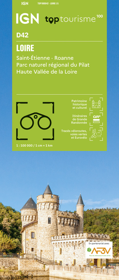
TOP100D42 - LOIRE SAINT-ÉTIENNE ROANNE PARC NATUREL RÉGIONAL DU PILAT HAUTE VALLÉE DE LA LOIRE
Editor : IGN
Collection : TOP 100
Scale : 1:100 000
8.40€
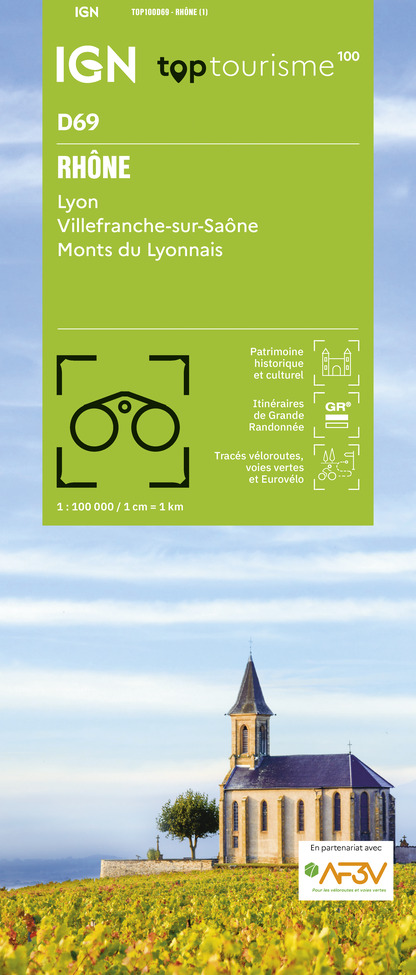
TOP100D69 - RHÔNE LYON VILLEFRANCHE-SUR-SAÔNE MONTS DU LYONNAIS
Editor : IGN
Collection : TOP 100
Scale : 1:100 000
8.40€

202 JURA ALPES DU NORD
Editor : IGN
Collection : TOP 200
Scale : 1:200 000
6.80€

D42-43 LOIRE HAUTE-LOIRE
Editor : IGN
Collection : CARTES DÉPARTEMENTALES IGN
Scale : 1:150 000
5.90€

D38 ISÈRE
Editor : IGN
Collection : CARTES DÉPARTEMENTALES IGN
Scale : 1:150 000
5.90€

D01-69 AIN RHÔNE
Editor : IGN
Collection : CARTES DÉPARTEMENTALES IGN
Scale : 1:150 000
5.90€

D07-26 ARDÈCHE DRÔME
Editor : IGN
Collection : CARTES DÉPARTEMENTALES IGN
Scale : 1:150 000
5.90€

EUROPE
Editor : IGN
Collection : DÉCOUVERTE DES PAYS DU MONDE IGN
Scale : 1:2 500 000
7.00€
What to visit in AUBERGE DES ETANGS
See more suggestionsDiscover the nightlife of AUBERGE DES ETANGS.
See more suggestions


Where to eat in AUBERGE DES ETANGS
See more suggestionsRestaurants in AUBERGE DES ETANGS offer a friendly atmosphere.
See more suggestions


Where to sleep in AUBERGE DES ETANGS
See more suggestionsStay in unique accommodations in AUBERGE DES ETANGS.
See more suggestions


