Tours
Activities
Places of interest
Where to eat
Where to sleep
Uncover local treasures with Camping Le Bontemps
Are you the owner?Nestled in the heart of Monsteroux-milieu, in the picturesque Isère region of Rhône-Alpes, Camping Le Bontemps invites you to explore the wonders of this remarkable area. Immerse yourself in nature with serene forested trails, or delve into the rich historical heritage with visits to the Bressieux castle and local museums. Wine enthusiasts can indulge their taste buds at regional vineyards, partic...See more
Walking around CAMPING LE BONTEMPS
See more suggestionsWalks and discoveries in CAMPING LE BONTEMPS.
See more suggestions


What to do in CAMPING LE BONTEMPS
See more suggestionsPlan a perfect day in CAMPING LE BONTEMPS with our bookable activities.
See more suggestions


IGN cards

3033SB - VIENNE ROUSSILLON
Editor : IGN
Collection : TOP 25 ET SÉRIE BLEUE
Scale : 1:25 000
13.90€
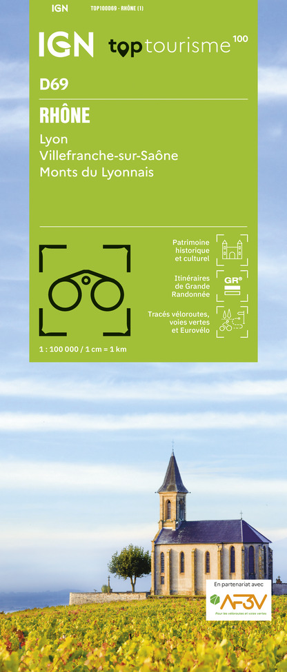
TOP100D69 - RHÔNE LYON VILLEFRANCHE-SUR-SAÔNE MONTS DU LYONNAIS
Editor : IGN
Collection : TOP 100
Scale : 1:100 000
8.40€

202 JURA ALPES DU NORD
Editor : IGN
Collection : TOP 200
Scale : 1:200 000
6.80€

D38 ISÈRE
Editor : IGN
Collection : CARTES DÉPARTEMENTALES IGN
Scale : 1:150 000
5.90€

D07-26 ARDÈCHE DRÔME
Editor : IGN
Collection : CARTES DÉPARTEMENTALES IGN
Scale : 1:150 000
5.90€

D01-69 AIN RHÔNE
Editor : IGN
Collection : CARTES DÉPARTEMENTALES IGN
Scale : 1:150 000
5.90€

EUROPE
Editor : IGN
Collection : DÉCOUVERTE DES PAYS DU MONDE IGN
Scale : 1:2 500 000
7.00€
What to visit in CAMPING LE BONTEMPS
See more suggestionsShop in the boutiques of CAMPING LE BONTEMPS.
See more suggestions


Where to eat in CAMPING LE BONTEMPS
See more suggestionsCome and taste typical dishes of CAMPING LE BONTEMPS.
See more suggestions


Where to sleep in CAMPING LE BONTEMPS
See more suggestionsDiscover the best lodging options in CAMPING LE BONTEMPS.
See more suggestions


