Tours
Activities
Places of interest
Where to eat
Where to sleep
Camping Domaine de Gatinie: Exploring Les Aires and the Hérault
Are you the owner?Welcome to Camping Domaine de Gatinie, your gateway to discovering local wonders around Les Aires and the Hérault in Languedoc-Roussillon.
First on your itinerary should be the Gorges d’Héric, a spectacular site ideal for hiking and natural swimming in pristine waters. The crystal-clear streams and impressive rock formations are a photographer’s dream come true.
Les Aires is also adjacent to the ...See more
First on your itinerary should be the Gorges d’Héric, a spectacular site ideal for hiking and natural swimming in pristine waters. The crystal-clear streams and impressive rock formations are a photographer’s dream come true.
Les Aires is also adjacent to the ...See more
Walking around CAMPING DOMAINE DE GATINIE
See more suggestionsAccessible hikes near CAMPING DOMAINE DE GATINIE.
See more suggestions, take exit 48 towards Cornus and when reachin")
, take exit 48 towards Cornus and when reachin")


What to do in CAMPING DOMAINE DE GATINIE
See more suggestionsExciting adventures await you in CAMPING DOMAINE DE GATINIE, book now.
See more suggestions


IGN cards

2543OT - LAMALOU-LES-BAINS L'ESPINASSE LE CAROUX PNR DU HAUT LANGUEDOC
Editor : IGN
Collection : TOP 25 ET SÉRIE BLEUE
Scale : 1:25 000
13.90€
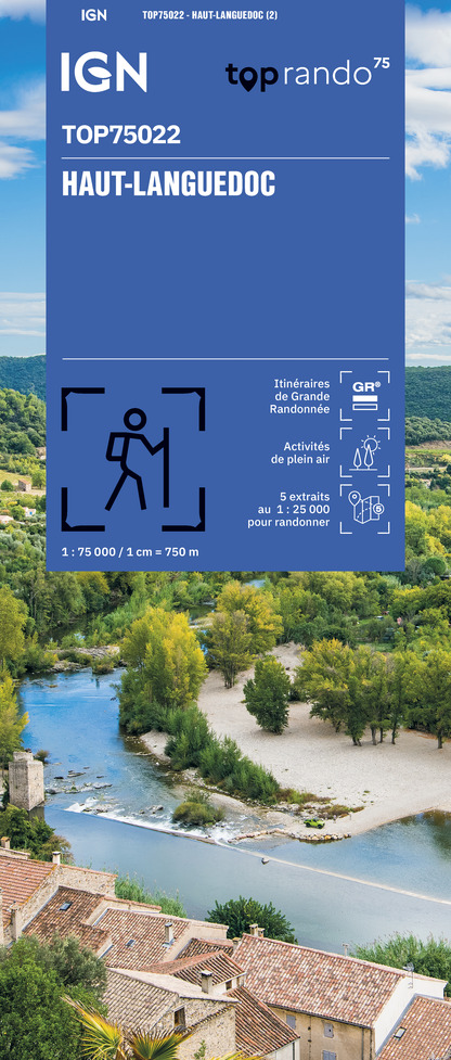
TOP75022 - HAUT LANGUEDOC
Editor : IGN
Collection : TOP 75
Scale : 1:75 000
9.80€
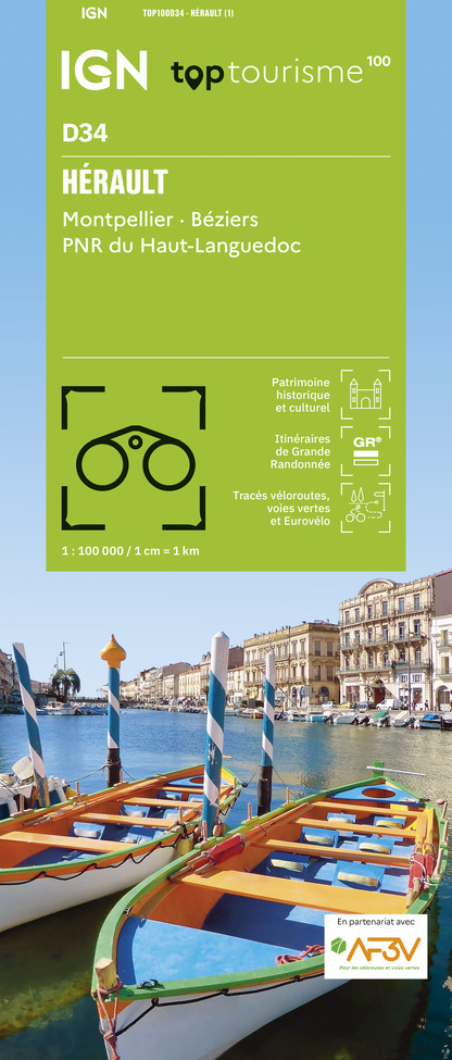
TOP100D34 - HÉRAULT MONTPELLIER BÉZIERS PNR DU HAUT-LANGUEDOC
Editor : IGN
Collection : TOP 100
Scale : 1:100 000
8.40€

89031 - LE CANAL DU MIDI
Editor : IGN
Collection : DECOUVERTE DES CHEMINS
Scale : 1:100 000
9.10€

D11-81 AUDE TARN
Editor : IGN
Collection : CARTES DÉPARTEMENTALES IGN
Scale : 1:150 000
5.90€

D30-34 GARD HÉRAULT
Editor : IGN
Collection : CARTES DÉPARTEMENTALES IGN
Scale : 1:150 000
5.90€

EUROPE
Editor : IGN
Collection : DÉCOUVERTE DES PAYS DU MONDE IGN
Scale : 1:2 500 000
7.00€
What to visit in CAMPING DOMAINE DE GATINIE
See more suggestionsAdmire the unique architecture of CAMPING DOMAINE DE GATINIE.
See more suggestions


Where to eat in CAMPING DOMAINE DE GATINIE
See more suggestionsExplore the culinary traditions of CAMPING DOMAINE DE GATINIE.
See more suggestions


Where to sleep in CAMPING DOMAINE DE GATINIE
See more suggestionsDiscover available accommodations around CAMPING DOMAINE DE GATINIE.
See more suggestions


