Tours
Activities
Places of interest
Where to eat
Where to sleep
Camping Mas de la Cam in Saint-jean-pla-de-corts, discover and relax
Are you the owner?Dive into the heart of Pyrénées-Orientales and explore Saint-jean-pla-de-corts, the perfect destination for nature lovers and adventurers seeking a change of scenery. Surrounding Camping Mas de la Cam, activities abound. Take advantage of hiking trails winding through the region, offering breathtaking views of the surrounding mountains and vineyards. Don't miss Lake Saint-Jean-Pla-de-Corts, ideal ...See more
Walking around CAMPING MAS DE LA CAM
See more suggestionsWalks and discoveries in CAMPING MAS DE LA CAM.
See more suggestions from Sorède to Argelès-sur-Mer")


![[Walk] Discover the old village of Laroque and its surroundings](https://fichier0.cirkwi.com/image/photo/circuit/380x250/474759/fr/0.jpg?1765498227 "[Walk] Discover the old village of Laroque and its surroundings")
What to do in CAMPING MAS DE LA CAM
See more suggestionsDiscover surprising activities in CAMPING MAS DE LA CAM and book the ones you like.
See more suggestions


IGN cards
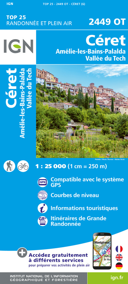
2449OT - CERET AMELIE-LES-BAINS-PALALDA - VALLEE DU TECH
Editor : IGN
Collection : TOP 25 ET SÉRIE BLEUE
Scale : 1:25 000
13.90€

TOP100D66 - PYRÉNÉES-ORIENTALES PERPIGNAN PRADES CÉRET CÔTE VERMEILLE PNR DES PYRÉNÉES CATALANES
Editor : IGN
Collection : TOP 100
Scale : 1:100 000
8.40€

89030 - TRAVERSEE DES PYRENEES GR10®
Editor : IGN
Collection : DECOUVERTE DES CHEMINS
Scale : 1:100 000
9.10€

D09-66 ARIÈGE PYRÉNÉES-ORIENTALES
Editor : IGN
Collection : CARTES DÉPARTEMENTALES IGN
Scale : 1:150 000
5.90€

EUROPE
Editor : IGN
Collection : DÉCOUVERTE DES PAYS DU MONDE IGN
Scale : 1:2 500 000
7.00€
What to visit in CAMPING MAS DE LA CAM
See more suggestionsLearn the history of CAMPING MAS DE LA CAM through its museums.
See more suggestions


Where to eat in CAMPING MAS DE LA CAM
See more suggestionsSavor culinary specialties in CAMPING MAS DE LA CAM.
See more suggestions


Where to sleep in CAMPING MAS DE LA CAM
See more suggestionsStay at one of the many hotels in CAMPING MAS DE LA CAM.
See more suggestions


