Tours
Activities
Places of interest
Where to eat
Where to sleep
Chateauneuf-les-martigues, Bouches-du-Rhône, Provence-Alpes-Côte d'Azur
Are you in charge of the destination?Welcome to Châteauneuf-les-Martigues, a hidden gem located in the Bouches-du-Rhône, in the Provence-Alpes-Côte d'Azur region. This charming commune is the perfect place for those looking to discover the essence of Provence. With its olive groves, vineyards, and stunning natural landscapes, Châteauneuf-les-Martigues offers an idyllic break away from the hustle and bustle of big cities. Stroll throu...See more
Walking around Chateauneuf-les-martigues
See more suggestionsDiscover the nature of Chateauneuf-les-martigues on foot.
See more suggestions


What to do in Chateauneuf-les-martigues
See more suggestionsChoose from a variety of activities in Chateauneuf-les-martigues and book your favorites.
See more suggestions


IGN cards
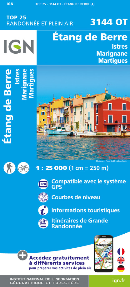
3144OT - ÉTANG DE BERRE ISTRES MARIGNANE MARTIGUES
Editor : IGN
Collection : TOP 25 ET SÉRIE BLEUE
Scale : 1:25 000
13.90€

TOP100D13 - BOUCHES-DU-RHÔNE MARSEILLE AIX-EN-PROVENCE PARC NATIONAL DES CALANQUES PNR DES ALPILLES ET DE CAMARGUE
Editor : IGN
Collection : TOP 100
Scale : 1:100 000
8.40€

D13-84 BOUCHES-DU-RHÔNE VAUCLUSE
Editor : IGN
Collection : CARTES DÉPARTEMENTALES IGN
Scale : 1:150 000
5.90€

NR16 PROVENCE-ALPES-CÔTE D'AZUR
Editor : IGN
Collection : CARTES RÉGIONALES IGN
Scale : 1:250 000
6.80€

EUROPE
Editor : IGN
Collection : DÉCOUVERTE DES PAYS DU MONDE IGN
Scale : 1:2 500 000
7.00€
What to visit in Chateauneuf-les-martigues
See more suggestionsEnjoy the green spaces of Chateauneuf-les-martigues.
See more suggestions


Where to eat in Chateauneuf-les-martigues
See more suggestionsRestaurants in Chateauneuf-les-martigues offer a variety of cuisines.
See more suggestions


Where to sleep in Chateauneuf-les-martigues
See more suggestionsDiscover available accommodations around Chateauneuf-les-martigues.
See more suggestions


