Tours
Activities
Places of interest
Where to eat
Where to sleep
Discover Clarafond-arcine in Haute-Savoie
Are you in charge of the destination?Nestled in the beautiful region of Haute-Savoie, Rhône-Alpes, Clarafond-arcine is a charming destination offering a variety of activities for nature lovers and culture enthusiasts. Situated near the majestic Alps, it serves as the perfect starting point for breathtaking hikes. Marked trails guide you through stunning mountainous landscapes, where you can admire local flora and fauna.
History buf...See more
History buf...See more
Walking around Clarafond-arcine
See more suggestionsDiscover the trails of Clarafond-arcine.
See more suggestions


What to do in Clarafond-arcine
See more suggestionsFind the best activities in Clarafond-arcine and book easily online.
See more suggestions


")


IGN cards
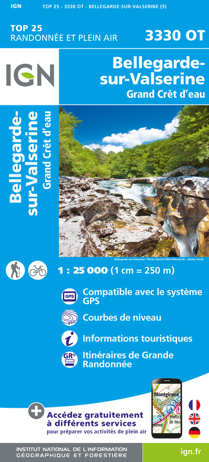
3330OT - BELLEGARDE-SUR-VALSERINE GRAND CRÊT D'EAU
Editor : IGN
Collection : TOP 25 ET SÉRIE BLEUE
Scale : 1:25 000
13.90€

TOP100D01 - AIN BOURG-EN-BRESSE AMBÉRIEU-EN-BUGEY PAYS DE GEX
Editor : IGN
Collection : TOP 100
Scale : 1:100 000
8.40€

TOP100D74 - HAUTE-SAVOIE ANNECY THONON-LES-BAINS MASSIF DU MONT BLANC CHAÎNE DES ARAVIS
Editor : IGN
Collection : TOP 100
Scale : 1:100 000
8.40€

202 JURA ALPES DU NORD
Editor : IGN
Collection : TOP 200
Scale : 1:200 000
6.80€

89026 - GRANDES TRAVERSÉES DU JURA - GTJ
Editor : IGN
Collection : DECOUVERTE DES CHEMINS
Scale : 1:105 000
9.10€

D01-69 AIN RHÔNE
Editor : IGN
Collection : CARTES DÉPARTEMENTALES IGN
Scale : 1:150 000
5.90€

NR14 AUVERGNE-RHÔNE-ALPES RECTO/VERSO MASSIF CENTRAL
Editor : IGN
Collection : CARTES RÉGIONALES IGN
Scale : 1:250 000
6.80€

NR15 AUVERGNE-RHÔNE-ALPES RECTO/VERSO MASSIF ALPIN
Editor : IGN
Collection : CARTES RÉGIONALES IGN
Scale : 1:250 000
6.80€

EUROPE
Editor : IGN
Collection : DÉCOUVERTE DES PAYS DU MONDE IGN
Scale : 1:2 500 000
7.00€

SUISSE
Editor : IGN
Collection : DÉCOUVERTE DES PAYS DU MONDE IGN
Scale : 1:303 000
7.00€
What to visit in Clarafond-arcine
See more suggestionsShop in the boutiques of Clarafond-arcine.
See more suggestions


Where to eat in Clarafond-arcine
See more suggestionsCome and taste typical dishes of Clarafond-arcine.
See more suggestions


Where to sleep in Clarafond-arcine
See more suggestionsExplore accommodation options in Clarafond-arcine.
See more suggestions


