Alert
Alerts
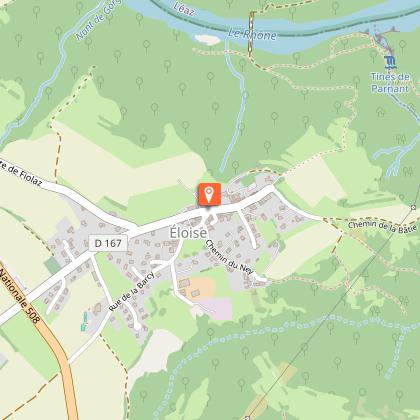
Walking tour: From Nant to Rhône
Description
A trail that reveals the region's environmental and historic diversity. Breathtaking views on the mountains nearby. Spectacular gorge, pillars of rock, suspension bridge and picnic area on the banks of the Rhône.
On the "Nant to Rhône" trail located within the boundaries of Clarafond-Arcine and Eloise, you'll find the brand new interpretive path laid out by the Syndicat intercommunal d’Aménagement du Vuache (SIAV) so that you can discover something about the region's animals, flowers, legends and archaeological remains.
From the car park at the Crêt du feu, the trail follows an easy, signposted walk dotted with 16 information panels. You can also enjoy breathtaking views of the Vuache and Jura Mountains, the River Rhône, and a number of geological curiosities such as the spectacular Parnant Gorge and the pillars of rock known as "Fairy Chimneys". You can cross the Rhône on a suspension bridge or timber footbridges, or take a rest in the shade of the trees on a picnic area with tables and benches.
There are two versions of this walk: 3hrs 30mins (8.5 kms) or 4hrs 30mins (12.5 kms). A free leaflet is available on request from SIAV.
Technical Information
Altimetric profile
Starting point
Points of interest

Additional information
Tips
3-star hotel-restaurant (Le Fartorêt) in Eloise.
Updated by
Haut-Rhône Tourisme - 02/01/2026
www.hautrhone-tourisme.fr
Report a problem
Environments
Riverside
Mountain view
In the country
Village 2 km away
Open period
From 01/01 to 31/12.
Not recommended in bad weather.
Contact
Phone :
04 50 04 62 89
04 50 59 26 56
Email : syndicat.vuache@orange.fr
Website : http://www.pays-du-vuache.fr
Topo guides and map references
Topo guides references :
Topo-guide of 37 walks and hikes: Pays du Salève and the Vuache on foot. Available for sale at the Tourist Office of Saint-Julien-en-Genevois.
Topo-guide n° 14: Du Nant en Rhône (Haut-Rhône Tourisme).
Map references :
Map of the hiking routes of the Pays du Vuache at the 1/25000th, IGN map "Bellegarde sur Valserine", 3330 OT
Type of land
Ground
Hard coating (tar, cement, flooring)
Reception complements
You will require hiking boots and appropriate clothing in wet weather. To avoid disturbing the wildlife and farm animals, please stay on the footpaths and keep your dogs on a lead.
Tricky passages
Steep descent to the Crêt à l'Aigle
Animals
Yes
