Tours
Activities
Places of interest
Where to eat
Where to sleep
explore Pelissanne, Bouches-du-Rhône
Are you in charge of the destination?Located in the heart of the Bouches-du-Rhône, Pelissanne is a hidden gem of the Provence-Alpes-Côte d'Azur that invites visitors to discover its cultural and natural treasures. Stroll through the quaint streets of the town and let yourself be charmed by the typical Provençal architecture. The olive groves surrounding Pelissanne are a sight not to be missed, offering a glimpse into traditional Medi...See more
Walking around Pelissanne
See more suggestionsEnjoy pleasant walks in Pelissanne.
See more suggestions


What to do in Pelissanne
See more suggestionsActivities for all tastes await you in Pelissanne, book them today.
See more suggestions


IGN cards
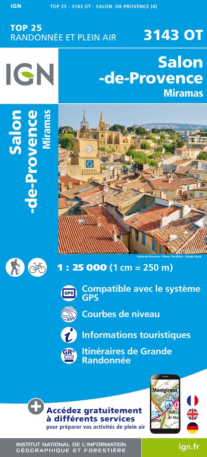
3143OT - SALON-DE-PROVENCE MIRAMAS
Editor : IGN
Collection : TOP 25 ET SÉRIE BLEUE
Scale : 1:25 000
13.90€

VEL03 - LE VAUCLUSE A VÉLO
Editor : IGN
Collection : DECOUVERTE A VELO
Scale : 1:100 000
9.10€

TOP100D13 - BOUCHES-DU-RHÔNE MARSEILLE AIX-EN-PROVENCE PARC NATIONAL DES CALANQUES PNR DES ALPILLES ET DE CAMARGUE
Editor : IGN
Collection : TOP 100
Scale : 1:100 000
8.40€

D13-84 BOUCHES-DU-RHÔNE VAUCLUSE
Editor : IGN
Collection : CARTES DÉPARTEMENTALES IGN
Scale : 1:150 000
5.90€

NR16 PROVENCE-ALPES-CÔTE D'AZUR
Editor : IGN
Collection : CARTES RÉGIONALES IGN
Scale : 1:250 000
6.80€

EUROPE
Editor : IGN
Collection : DÉCOUVERTE DES PAYS DU MONDE IGN
Scale : 1:2 500 000
7.00€
What to visit in Pelissanne
See more suggestionsStroll through the historic districts of Pelissanne.
See more suggestions


Where to eat in Pelissanne
See more suggestionsExplore the culinary traditions of Pelissanne.
See more suggestions


Where to sleep in Pelissanne
See more suggestionsExplore hostels and hotels in Pelissanne.
See more suggestions


