Tours
Activities
Places of interest
Where to eat
Where to sleep

Saint-jean-cap-ferrat, Alpes-Maritimes, Provence-Alpes-Côte d'Azur

Are you in charge of the destination?
Nestled on the splendid Mediterranean coast, Saint-Jean-Cap-Ferrat is a true gem of the French Riviera. Surrounded by crystal-clear waters and lush landscapes, this charming town is the perfect destination for luxury and nature lovers. Stroll along its coastal paths, explore its idyllic beaches, and visit the famous Villa Ephrussi de Rothschild with its sumptuous gardens. The marina offers a pictu...See more

Walking around Saint-jean-cap-ferrat

See more suggestions
Walks and discoveries in Saint-jean-cap-ferrat.
Hiking Tour of Mont Gros
13 km

Hiking Tour of Mont Gros

A rounded peak surrounded by limestone bars with peaks, Mont Gros abruptly dominates the bay of Roquebrune and the vast beach of Cabbé where paragliders and hang gliders find an ideal landing ground. From the Col de la Coupière (440 m), head south up the DFCI Trois Monts track (GR 51) before soon turning left onto the small diverticulum known as the "Rossignola"; this brings you to a significant bend in the road where you leave the track once again for the path that rises up the ubac of Mont Gros to a small collet located just above the nearby summit. Make a short return journey to the take-off area to admire the panorama of the summit of Mont Gros (686 m) and the prowess of the "libéristes" on their way to the beach of Cabbé, the ideal landing area. From the collet of Mont Gros, descend due south along a good path facing the sea on the generously reforested adret; when you reach the Fenouil houses, turn left to cross the eastern side of Mont Gros horizontally. A final climb through a coppice of yew trees takes you back to a small pass where you can follow the same route as before; you can easily reach the Coupière pass by the path, then the track followed on the way up. Road access From the N.7 at Cap Martin, go up the D.51 road towards La Turbie for 2.5 km. On the inside of a large curve, turn right onto the D.50 road leading to Gorbio; follow this road for 1 km and then turn left onto the narrow and steep asphalt path of La Coupière which leads to the car park of the pass (440 m).

2 h
5 km
06500 Gorbio
Show
Hiking Castellar-Menton via Balmetta and Baousset
19 km

Hiking Castellar-Menton via Balmetta and Baousset

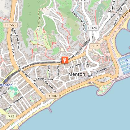
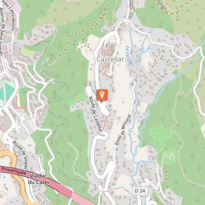
An easy hike, almost entirely downhill. After some beautiful passages in the forest, the itinerary leads to Super-Garavan and continues in the direction of the old town of Menton, with magnificent views over the bay of Garavan and the Gulf of Peace. From the car park at the entrance to the village, head towards the Saint-Sébastien chapel (marker 416) and, at the first intersection, turn right downhill in front of the school (marker 145). The road then climbs slightly before reaching a new intersection shortly after the Saint-Roch chapel. Turn right onto the road leading downhill towards Menton (marker 414 Menton by Balmetta and Baousset). After a few metres, the route, signposted and marked by a yellow rectangle, goes off to the left and flat. You then lose altitude along a small path with superb views, skirting some beautiful properties. Once past the Maglioc ravine, the route runs alongside an imposing wall that obscures the view of a magnificent property. Shortly afterwards, this path joins a concrete track near the motorway and passes through a completely painted tunnel at the end of which you come out onto the road. Go up to the right and turn left at the first intersection onto the road to Colle Supérieure (sign), in the direction of the old town. The road climbs steeply at first and then descends through the houses, passing the Trabuquet cemetery. After a few steps downhill, you reach a crossroads with the old Menton cemetery opposite, at the top of the old town. There, on this small square, turn left into the small alley that runs alongside the cemetery. Then, by a succession of stairs, reach the Saint-Michel basilica in Menton.

2 h
6.2 km
Route Granges Saint-Paul 20 m après la chapelle Saint-Roch 06500 Castellar
Show
Hiking Loop of Mount Carpano and Pplan du Lion
19 km

Hiking Loop of Mount Carpano and Pplan du Lion

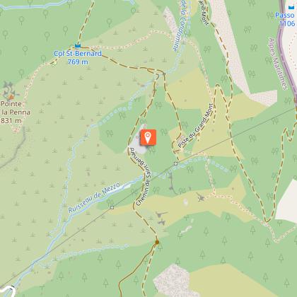
Beautiful hike with panoramic views. In spring you will enjoy the scents of Mediterranean vegetation. Medium difficulty. Ideal for families, if you stop at Plan du Lion, a huge flat herbaceous area that dominates the coastline. As it is a loop, it can be walked in the direction of Castellar, chapelle Saint-Sébastien, piste de l'Orméa, or in the direction of Castellar, route des Granges St. Paul, plan du Lion. From the cemetery car park (place de l'Armée des Alpes), go up the small road of the Col St-Bernard which rises steeply above the village; leave it shortly afterwards to take the Orméa track on the right, which serves several residences. Once you have reached the last of the well-tended countryside, the track becomes a paved path with many twists and turns leading to the GR 51 - GR 52 crossroads, at the foot of the Berceau pass. Then cross to the right (south) the vast panoramic plateau that stretches from Plan du Lion to Plan de Leuze until you find on the left the path that culminates at Mount Carpano (773 m) on the border ridge. After this short round trip, start the descent towards the St-Paul barns (caution, steep path) and follow on the right the wide DFCI (forest fire protection) track which climbs slightly to the water basins before descending gently towards Castellar. At the level of the stadium, a small asphalt road leads quickly back to the entrance of the village where you are greeted by the chapel of St-Roch (restored in 2000), then a little further upstream by the chapel of St-Sébastien (14th century) which watches over the cemetery.

3 h
7.5 km
Route des Granges Saint-Paul 06500 Castellar
Show

What to do in Saint-jean-cap-ferrat

See more suggestions
Book your activities in Saint-jean-cap-ferrat and experience memorable moments.
Discover the French Riviera by Nicecar Vehicle + Galimard Eau de Cologne Workshop (option) – Departing from Nice
4.1 km

Discover the French Riviera by Nicecar Vehicle + Galimard Eau de Cologne Workshop (option) – Departing from Nice

Discover Nice and drive along the French Riviera aboard a small open-top vehicle, an amusing and original way to admire the Côte d’Azur!  DISCOVER NICE AND DRIVE ALONG THE FRENCH RIVIERA ABOARD A SMALL OPEN-TOP VEHICLE, AN AMUSING AND ORIGINAL WAY TO ADMIRE THE CÔTE D’AZUR! Collect your amusing vehicle, equipped with GPS and set off on an exploration of Nice and its surroundings for 1, 2 and a half or 4 hours depending on the selected package.  You will cross the famous Massena Square, tour the old town and climb up to Fort Alban, the highest viewpoint of the city giving you a beautiful panoramic view of the coast. You will also be able to admire gorgeous views of the sea on your descent towards Lympia Port and during your ride along the Promenade des Anglais.  If you have rented the vehicle for more than 1 hour, head towards the beach of Villefranche-sur-Mer, the only sandy beach in the region. Continue along the seaside and discover the gardens of Villa Ephrussi in Saint-Jean Cap Ferrat. In 3 hours, you can make it all the way to the Monaco Casino and even take in a quiet and relaxing break at the summit of the village of Eze where the Galimard boutique is located. If you so choose, you also have the option of participating in the creation of your own Eau de Cologne at a fragrance workshop and bring home a 15ml bottle of your concoction. On the return to Nice, enjoy the bemused stares of pedestrians along the roads.  Throughout your tour, you can be accompanied by music or audio commentary detailing the important sites you will come across. 

Rue Emmanuel Philibert 06300 Nice
Book from 80 EURBook
Show

What to visit in Saint-jean-cap-ferrat

See more suggestions
Enjoy the green spaces of Saint-jean-cap-ferrat.
Natura 2000 : Bat sites of Breil-sur-Roya
17 km

Natura 2000 : Bat sites of Breil-sur-Roya

Crossed by the cross-border Roya river, this site offers a wide range of altitudinal variations (from 182 m to 1602 m). This amplitude contributes to its richness. The main centres of biological diversity are located on the left bank of the Roya, on the slopes overlooking the commune of Breil-sur-Roya and the border ridge, and in the southern part of the site, an area more marked by Mediterranean influences. The most remarkable formations in terms of vegetation are the oyster beds, cliff vegetation and the old olive-growing terraces. The main issue is the alluvial forests, which play a key role for bats. A stronghold of olive production in the 19th century, the landscape was shaped by these terraced crops softening the slopes and reducing the forest cover. Notre-Dame du Mont Chapel : This site has been primarily designated for its wealth of bats. Important populations of Grand Rhinolophe, Euryale Rhinolophe and especially the Murin with indented ears (the largest colony of calving for the region) are housed in the Chapel of Notre-Dame du Mont in particular. Apart from this exceptional character, the site is also located in the central part of the known range of the Strinati's Spelerpès. Among the insects, the Plum Borer (the fifth station listed in the department) and the Red-winged Moth are a priority issue for the site, as is the white-footed crayfish, which is found in notable densities in the Roya. Finally, concerning the flora, Ligurian gentian is abundant at the edge of the site. This Natura 2000 site has the particularity of being centred on the village of Breil-sur-Roya and its dwellings. Thus, human activity is widespread but varies greatly from one area to another. The site extends over a little less than a third of the communal area, from the Giandola district in the north to the foothills of the hamlet of Piène-Haute in the south and from the Pinéa district in the west to the Tête d'Alpe in the east. The topography is very rugged as evidenced by the presence of several mountain peaks: the Cime du Bosc on the right bank (1124 m) and especially the Arpette (1611 m) or Mount Fourquin (1420 m) on the left bank. The territory of the site is also exposed to significant climatic variability. The commune of Breil-sur-Roya, located at a low altitude (300 m), experiences less rainfall and milder temperatures than the surrounding peaks. This area is strongly influenced by the mild and humid climate that characterises the Gulf of Genoa region in Italy. The border slope is colder and wetter. The aquatic environment is modified by Lake Breil-sur-Roya, which is a reservoir supplying the hydroelectric plant located downstream of the village. Several activities are likely to have an impact along the Roya River. Agriculture in Breil-sur-Roya is still marked by a large number of farms, mainly oriented towards olive growing (mostly family, occasional). Pastoral activity is also present in various sectors of the site. The forest management of the site by the ONF is almost exclusively oriented towards protection. Finally, sports and leisure activities are numerous: hiking and horseback riding, mountain biking, canyoning, rafting, fishing, motorized activities, etc. Sports and leisure activities are numerous and varied on the site. The activities of hiking and mountain biking are particularly popular and the site offers Numerous trails and tracks for all types of users. The border ridge, the valley path, the GR 510 and 52a as well as the access paths to the hamlets of Libre and Piène-Haute are the most frequented. The other major leisure centre is for aquatic activities. All levels are present and thus allow to attract both the uninitiated and the passionate. White-water sports (various rafting, kayaking, water hiking, etc.) on the Roya, upstream from the village, complete the picture. Breil-sur-Roya is in fact known for its canyons, the Carleva valley, the Audin stream (Fanghetto), an ideal water hike for an initiation and for children, and finally the famous Maglia river (difficult level).

06540 Breil-sur-Roya
Show
Basilica of Saint-Michel Archange
17 km

Basilica of Saint-Michel Archange

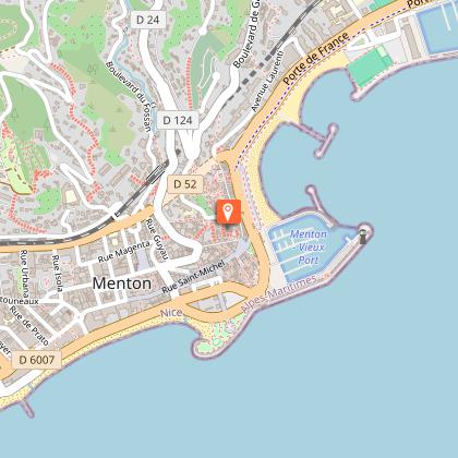
The Basilica of Saint-Michel-Archange of Menton is a minor basilica and a Catholic parish church located in the heart of the historic center of Menton. Majestic stair ramps provide access. Prince Honoré II and Nicolas Spinola, bishop of Ventimiglia, laid the foundation stone for the church of Saint Michael in 1619. Opened for worship in 1653, the new building was consecrated on May 8, 1675. The large bell tower was erected in 1701-1702. The facade was completed in 1819. After the earthquake of February 1887, the parish church was completely restored. On March 26, 1999, Pope John Paul II elevated the church of Saint Michael to the rank of minor basilica. Laurent Lavagna, master builder, is inspired by the church of the Annunziata of Genoa, to erect this baroque building which still preserves a set of damask drapes of the eighteenth century, offered by Prince Honoré III at his wedding. Saint-Michel was declared a Historic Monument in 1947. In order to finance the construction of this great building, the council of the community «se» voted an exceptional tax lifted for twenty years and hitting the 40th of the income from the harvests of citrus fruits, oil and wine. The first works of the construction of this church led to the demolition of the only religious building within walls. During this time, the services were held in a room of the medieval fortification, now two floors under the choir. The work ranged from 1640 to 1653. The church of Saint Michael of the fifteenth century (located on the site of the clock tower of the basilica)

Parvis Saint Michel 06500 Menton
Show

Where to eat in Saint-jean-cap-ferrat

See more suggestions
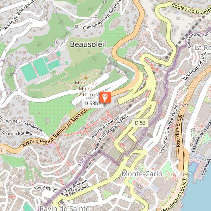
Restaurants in Saint-jean-cap-ferrat offer a friendly atmosphere.

Where to sleep in Saint-jean-cap-ferrat

See more suggestions
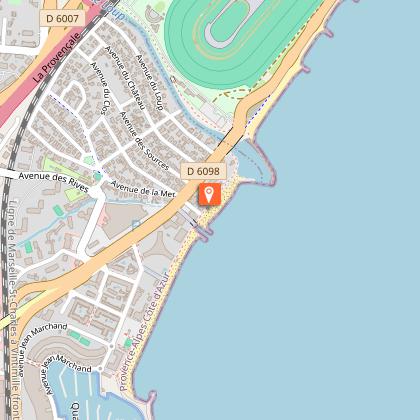
Find a comfortable stay in Saint-jean-cap-ferrat.
Caution!
We have no information on the difficulty of this circuit. You may encounter some surprises along the way. Before you go, please feel free to inquire more and take all necessary precautions. Have a good trip! 🌳🥾