Tours
Activities
Places of interest
Where to eat
Where to sleep
Explore Roquebilliere, Alpes-Maritimes, Provence-Alpes-Côte d'Azur
Are you in charge of the destination?Nestled in the heart of the Alpes-Maritimes, Roquebilliere is a perfect destination for nature lovers and culture enthusiasts. Discover breathtaking landscapes along numerous hiking trails in the region, such as the renowned Chemin des Graus or the climb to the Plateau of the Madone de Fenestre. During the summer, take a refreshing dip in the Vesubie River.
Medieval remnants scattered throughout ...See more
Medieval remnants scattered throughout ...See more
Walking around Roquebilliere
See more suggestionsDiscover the walking paths of Roquebilliere.
See more suggestions

 Brouis pass - Mount Grazian panorama")


 from the Maglia valley to Borgemo via the Agnon Pass")

What to do in Roquebilliere
See more suggestionsPlan a perfect day in Roquebilliere with our bookable activities.
See more suggestions


IGN cards

3741ET - VALLÉE DE LA BÉVÉRA VALLÉE DES PAILLONS PARC NATIONAL DU MERCANTOUR
Editor : IGN
Collection : TOP 25 ET SÉRIE BLEUE
Scale : 1:25 000
13.90€
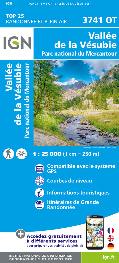
3741OT - VALLÉE DE LA VÉSUBIE PARC NATIONAL DU MERCANTOUR
Editor : IGN
Collection : TOP 25 ET SÉRIE BLEUE
Scale : 1:25 000
13.90€

TOP75010 - MERCANTOUR
Editor : IGN
Collection : TOP 75
Scale : 1:75 000
9.80€

TOP100D06 - ALPES-MARITIMES NICE CÔTE D'AZUR PARC NATIONAL DU MERCANTOUR PNR DES PRÉALPES D'AZUR
Editor : IGN
Collection : TOP 100
Scale : 1:100 000
8.40€

D06 ALPES-MARITIMES
Editor : IGN
Collection : CARTES DÉPARTEMENTALES IGN
Scale : 1:150 000
5.90€

NR16 PROVENCE-ALPES-CÔTE D'AZUR
Editor : IGN
Collection : CARTES RÉGIONALES IGN
Scale : 1:250 000
6.80€

EUROPE
Editor : IGN
Collection : DÉCOUVERTE DES PAYS DU MONDE IGN
Scale : 1:2 500 000
7.00€
What to visit in Roquebilliere
See more suggestionsLearn the history of Roquebilliere through its museums.
See more suggestions


Where to eat in Roquebilliere
See more suggestionsFood enthusiasts will love Roquebilliere's restaurants.
See more suggestions


Where to sleep in Roquebilliere
See more suggestionsBook a pleasant stay in Roquebilliere.
See more suggestions


")
")


