Tours
Activities
Places of interest
Where to eat
Where to sleep
Discover the Gems of Bons-en-Chablais, Haute-Savoie
Are you in charge of the destination?Welcome to Bons-en-Chablais, Haute-Savoie, Rhône-Alpes, where every street corner tells a story and every trail reveals breathtaking views. Nestled between Geneva and the majestic peaks of the French Alps, Bons-en-Chablais is the perfect starting point for your Rhône-Alpes adventures. Begin your exploration at the majestic Lake Geneva, ideal for a day of relaxation or water activities. Hiking enth...See more
Walking around Bons-en-chablais
See more suggestionsDiscover the walking paths of Bons-en-chablais.
See more suggestions


What to do in Bons-en-chablais
See more suggestionsExplore Bons-en-chablais through its many bookable activities.
See more suggestions


 mountain bike ride along the Menoge")
IGN cards
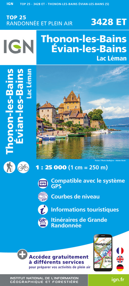
3428ET - THONON-LES-BAINS - ÉVIAN-LES-BAINS LAC LÉMAN
Editor : IGN
Collection : TOP 25 ET SÉRIE BLEUE
Scale : 1:25 000
13.90€

TOP75007 - ENTRE LÉMAN ET MONT BLANC CHABLAIS FAUCIGNY
Editor : IGN
Collection : TOP 75
Scale : 1:75 000
9.80€

TOP100D74 - HAUTE-SAVOIE ANNECY THONON-LES-BAINS MASSIF DU MONT BLANC CHAÎNE DES ARAVIS
Editor : IGN
Collection : TOP 100
Scale : 1:100 000
8.40€

202 JURA ALPES DU NORD
Editor : IGN
Collection : TOP 200
Scale : 1:200 000
6.80€

89026 - GRANDES TRAVERSÉES DU JURA - GTJ
Editor : IGN
Collection : DECOUVERTE DES CHEMINS
Scale : 1:105 000
9.10€

D01-69 AIN RHÔNE
Editor : IGN
Collection : CARTES DÉPARTEMENTALES IGN
Scale : 1:150 000
5.90€

D25-39 DOUBS JURA
Editor : IGN
Collection : CARTES DÉPARTEMENTALES IGN
Scale : 1:150 000
5.90€

NR15 AUVERGNE-RHÔNE-ALPES RECTO/VERSO MASSIF ALPIN
Editor : IGN
Collection : CARTES RÉGIONALES IGN
Scale : 1:250 000
6.80€

NR14 AUVERGNE-RHÔNE-ALPES RECTO/VERSO MASSIF CENTRAL
Editor : IGN
Collection : CARTES RÉGIONALES IGN
Scale : 1:250 000
6.80€

NR09 BOURGOGNE FRANCHE-COMTÉ
Editor : IGN
Collection : CARTES RÉGIONALES IGN
Scale : 1:250 000
6.80€

EUROPE
Editor : IGN
Collection : DÉCOUVERTE DES PAYS DU MONDE IGN
Scale : 1:2 500 000
7.00€

SUISSE
Editor : IGN
Collection : DÉCOUVERTE DES PAYS DU MONDE IGN
Scale : 1:303 000
7.00€
What to visit in Bons-en-chablais
See more suggestionsTaste the culinary specialties of Bons-en-chablais.
See more suggestions


Where to eat in Bons-en-chablais
See more suggestionsRestaurants in Bons-en-chablais will captivate you.
See more suggestions


Where to sleep in Bons-en-chablais
See more suggestionsFind an ideal lodging in Bons-en-chablais.
See more suggestions


