Tours
Activities
Places of interest
Where to eat
Where to sleep
Explore the gems of Conques-sur-orbiel
Are you in charge of the destination?Welcome to Conques-sur-orbiel, a charming town nestled in the heart of the Aude region in Languedoc-Roussillon. Here, every street corner tells a story, and every path leads you on a picturesque journey. Begin your exploration with a visit to the Saint-Michel Church, a stunning architectural masterpiece steeped in centuries of history. Then, wander through the narrow streets and admire the ancient...See more
Walking around Conques-sur-orbiel
See more suggestionsWalks and discoveries in Conques-sur-orbiel.
See more suggestions


What to do in Conques-sur-orbiel
See more suggestionsFind bookable activities in Conques-sur-orbiel for an unforgettable experience.
See more suggestions


IGN cards
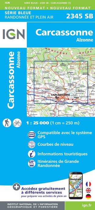
2345SB - CARCASSONNE ALZONNE
Editor : IGN
Collection : TOP 25 ET SÉRIE BLEUE
Scale : 1:25 000
13.90€

TOP100D11 - AUDE CARCASSONNE NARBONNE LIMOUX QUILLAN CANAL DU MIDI
Editor : IGN
Collection : TOP 100
Scale : 1:100 000
8.40€

89031 - LE CANAL DU MIDI
Editor : IGN
Collection : DECOUVERTE DES CHEMINS
Scale : 1:100 000
9.10€

D11-81 AUDE TARN
Editor : IGN
Collection : CARTES DÉPARTEMENTALES IGN
Scale : 1:150 000
5.90€

D09-66 ARIÈGE PYRÉNÉES-ORIENTALES
Editor : IGN
Collection : CARTES DÉPARTEMENTALES IGN
Scale : 1:150 000
5.90€

EUROPE
Editor : IGN
Collection : DÉCOUVERTE DES PAYS DU MONDE IGN
Scale : 1:2 500 000
7.00€
What to visit in Conques-sur-orbiel
See more suggestionsVisit the iconic landmarks of Conques-sur-orbiel.
See more suggestions


Where to eat in Conques-sur-orbiel
See more suggestionsDiscover the local flavors of Conques-sur-orbiel.
See more suggestions


Where to sleep in Conques-sur-orbiel
See more suggestionsExplore accommodation options in Conques-sur-orbiel.
See more suggestions


")


