Alert
Alerts
The Bosc Grand path
Description
Loop to the north of the village, you will pass close to the cave, take the opportunity to visit it (pay for entry)!
WARNING: in summer, protect yourself from the sun and keep hydrated because of the long distance, the sunshine and the elevation gain.
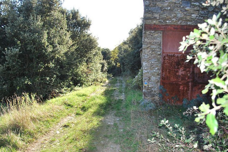
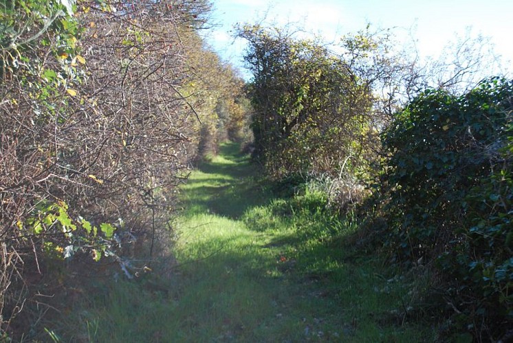
Start in the centre of the village, Place de la Fontaine. Head north on Rue du Four, then continue along a slightly sloping path towards the "Grave" stream. Further on, turn left at the junction with the "Ménentière" stream and go up towards Fournes-Cabardès.
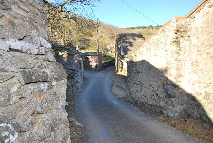
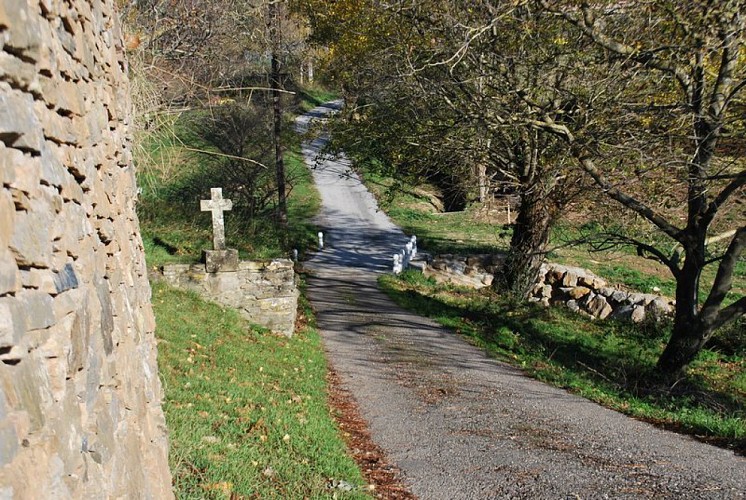
In the village, turn right on rue de la bergerie (D401) leaving the wash house on your left. Walk for about 450m and then take a path on the right. Go down towards the Courrebies valley and go up to Sériès. Take the D401 and cross the hamlet then the ford.
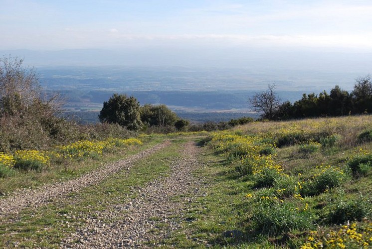
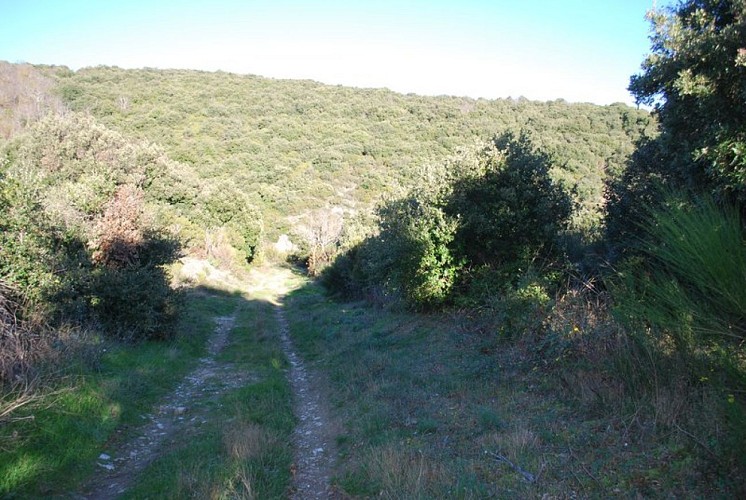
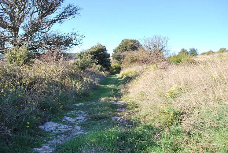
At the level of the "Courtal Long" sheepfold, in the left-hand bend, take the path on the right towards the pass (alt 644m) on the crest of Mount Simel. Take a break to admire the landscape. Resume the progression: go down the stony path for 1km then at the level of a grove of trees, turn right through the scrubland. At the bottom of the track, turn right and 150m further on, turn right again and go up.
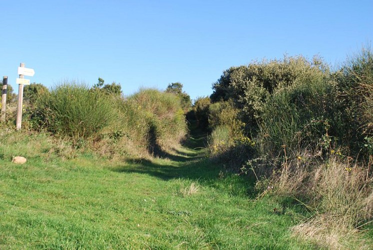
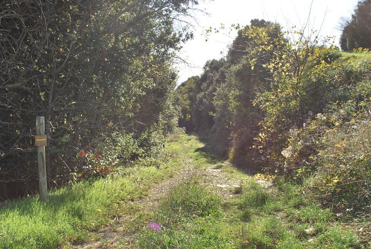
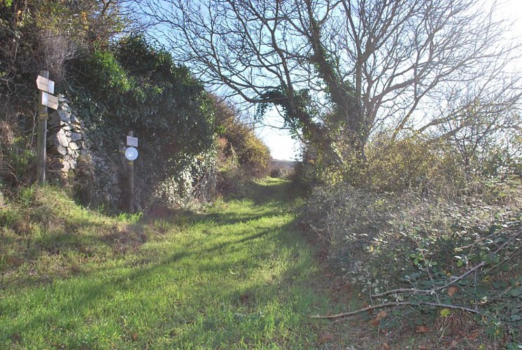
Arriving at a flat area, at a small crossroads: look out for the signs. Turn left and follow a small path in the middle of fairly short vegetation. Go down to the level of the Limousis cave, cross the shady car park and then take the road opposite which leads back to Limousis.
Technical Information
Altimetric profile
Starting point
Additional information
Departure
Limousis – Parking in front of the cemetery
Arrival
Limousis – Parking in front of the cemetery
Ambiance
On the crest of Mont Simel, enjoy the view over the whole Aude valley
Access
Accès Limousis par la D511
Public transport
RTCA - Ligne L
Data author
