Tours
Activities
Places of interest
Where to eat
Where to sleep
Discover local gems around Camping La Pujade in Alzonne
Are you the owner?Located in the heart of the stunning Languedoc-Roussillon region, Camping La Pujade is your gateway to explore Alzonne and its surroundings. Take advantage of numerous hiking trails to unveil the unspoiled nature of the Montagne Noire and the renowned vineyards of Aude. Don't miss a visit to the medieval cité of Carcassonne, a UNESCO World Heritage site, just a few kilometers away. For history buf...See more
Walking around CAMPING LA PUJADE
See more suggestionsDiscover the trails of CAMPING LA PUJADE.
See more suggestions


What to do in CAMPING LA PUJADE
See more suggestionsExplore the many bookable activities in CAMPING LA PUJADE and make the most of every moment.
See more suggestions


IGN cards
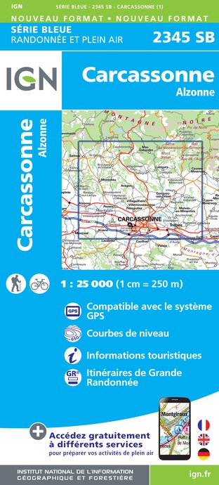
2345SB - CARCASSONNE ALZONNE
Editor : IGN
Collection : TOP 25 ET SÉRIE BLEUE
Scale : 1:25 000
13.90€

TOP100D11 - AUDE CARCASSONNE NARBONNE LIMOUX QUILLAN CANAL DU MIDI
Editor : IGN
Collection : TOP 100
Scale : 1:100 000
8.40€

TOP100D09 - ARIÈGE FOIX SAINT-GIRONS PNR DES PYRÉNÉES ARIÉGEOISES
Editor : IGN
Collection : TOP 100
Scale : 1:100 000
8.40€

89031 - LE CANAL DU MIDI
Editor : IGN
Collection : DECOUVERTE DES CHEMINS
Scale : 1:100 000
9.10€

D09-66 ARIÈGE PYRÉNÉES-ORIENTALES
Editor : IGN
Collection : CARTES DÉPARTEMENTALES IGN
Scale : 1:150 000
5.90€

D11-81 AUDE TARN
Editor : IGN
Collection : CARTES DÉPARTEMENTALES IGN
Scale : 1:150 000
5.90€

EUROPE
Editor : IGN
Collection : DÉCOUVERTE DES PAYS DU MONDE IGN
Scale : 1:2 500 000
7.00€
What to visit in CAMPING LA PUJADE
See more suggestionsEngage in outdoor activities in CAMPING LA PUJADE.
See more suggestions


Where to eat in CAMPING LA PUJADE
See more suggestionsDiscover the local flavors of CAMPING LA PUJADE.
See more suggestions


Where to sleep in CAMPING LA PUJADE
See more suggestionsExplore lodging possibilities in CAMPING LA PUJADE.
See more suggestions


