Tours
Activities
Places of interest
Where to eat
Where to sleep
Discover Couiza, Aude: hidden treasures of Languedoc-Roussillon
Are you in charge of the destination?Welcome to Couiza, nestled in the heart of Aude, in the formidable region of Languedoc-Roussillon! This small town is brimming with activities and local attractions that will captivate your senses. Stroll through the typical streets and soak in the authentic ambiance. Nearby, explore the mysteries of the famous Château de Montségur or delve into the enigmatic history of Rennes-le-Château. For natu...See more


")
")

What to do in Couiza
See more suggestionsChoose from a variety of activities in Couiza and book your favorites.
See more suggestions


IGN cards
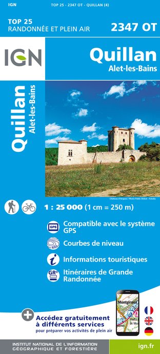
2347OT - QUILLAN ALET-LES-BAINS
Editor : IGN
Collection : TOP 25 ET SÉRIE BLEUE
Scale : 1:25 000
13.90€

TOP100D66 - PYRÉNÉES-ORIENTALES PERPIGNAN PRADES CÉRET CÔTE VERMEILLE PNR DES PYRÉNÉES CATALANES
Editor : IGN
Collection : TOP 100
Scale : 1:100 000
8.40€

TOP100D11 - AUDE CARCASSONNE NARBONNE LIMOUX QUILLAN CANAL DU MIDI
Editor : IGN
Collection : TOP 100
Scale : 1:100 000
8.40€

TOP100D09 - ARIÈGE FOIX SAINT-GIRONS PNR DES PYRÉNÉES ARIÉGEOISES
Editor : IGN
Collection : TOP 100
Scale : 1:100 000
8.40€

D09-66 ARIÈGE PYRÉNÉES-ORIENTALES
Editor : IGN
Collection : CARTES DÉPARTEMENTALES IGN
Scale : 1:150 000
5.90€

D11-81 AUDE TARN
Editor : IGN
Collection : CARTES DÉPARTEMENTALES IGN
Scale : 1:150 000
5.90€

EUROPE
Editor : IGN
Collection : DÉCOUVERTE DES PAYS DU MONDE IGN
Scale : 1:2 500 000
7.00€
What to visit in Couiza
See more suggestionsVisit the iconic landmarks of Couiza.
See more suggestions


