Tours
Activities
Places of interest
Where to eat
Where to sleep
Camping Domaine de Chadeyron: Explore Lagorce and its marvels
Are you the owner?Nestled in the heart of the Ardèche, CAMPING DOMAINE DE CHADEYRON offers an ideal gateway to explore Lagorce and its surroundings. Embark on scenic hiking trails that wind through the breathtaking landscapes of the region. Don't miss the famous Caverne du Pont-d'Arc, a faithful replica of the Chauvet cave, where you can admire prehistoric paintings dating back over 36,000 years.
Lagorce is also r...See more
Lagorce is also r...See more
Walking around CAMPING DOMAINE DE CHADEYRON
See more suggestionsStroll through the walking routes of CAMPING DOMAINE DE CHADEYRON.
See more suggestions


What to do in CAMPING DOMAINE DE CHADEYRON
See more suggestionsChoose from a variety of activities in CAMPING DOMAINE DE CHADEYRON and book your favorites.
See more suggestions


IGN cards

2939OTR - GORGES DE L'ARDECHE RESISTANTE BOURG-ST-ANDEOL VALLON PONT D'ARC
Editor : IGN
Collection : TOP 25 RÉSISTANTE
Scale : 1:25 000
17.20€
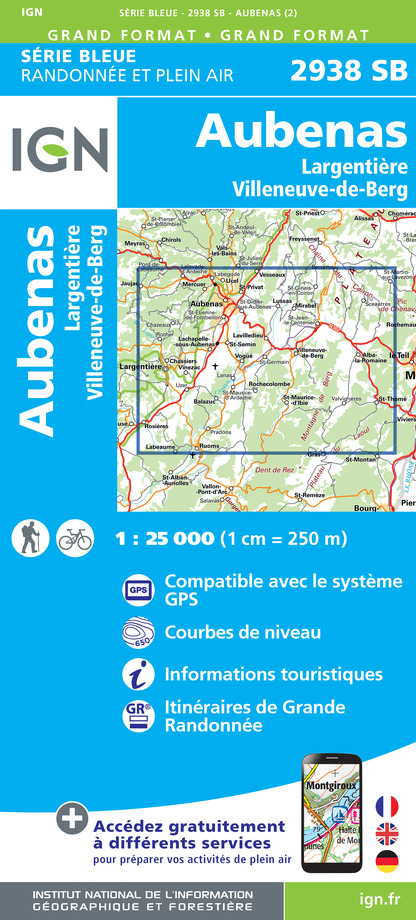
2938SB - AUBENAS L'ARGENTIERE - VILLENEUVE-DE-BERG
Editor : IGN
Collection : TOP 25 ET SÉRIE BLEUE
Scale : 1:25 000
13.90€

2939OT - GORGES DE L'ARDÈCHE BOURG-ST-ANDÉOL VALLON PONT-D'ARC
Editor : IGN
Collection : TOP 25 ET SÉRIE BLEUE
Scale : 1:25 000
13.90€
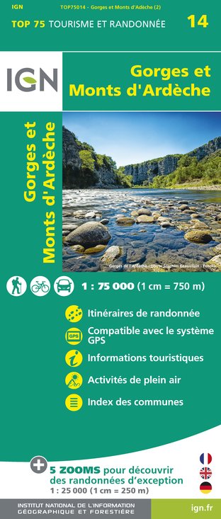
TOP75014 - GORGES ET MONTS D'ARDÈCHE
Editor : IGN
Collection : TOP 75
Scale : 1:75 000
9.80€

TOP100D07 - ARDÈCHE PRIVAS AUBENAS VALLON-PONT-D'ARC PNR DES MONTS D'ARDÈCHE
Editor : IGN
Collection : TOP 100
Scale : 1:100 000
8.40€

TOP100D84 - VAUCLUSE AVIGNON CARPENTRAS PARCS NATURELS RÉGIONAUX DU LUBERON ET DU MONT-VENTOUX
Editor : IGN
Collection : TOP 100
Scale : 1:100 000
8.40€

D13-84 BOUCHES-DU-RHÔNE VAUCLUSE
Editor : IGN
Collection : CARTES DÉPARTEMENTALES IGN
Scale : 1:150 000
5.90€

D07-26 ARDÈCHE DRÔME
Editor : IGN
Collection : CARTES DÉPARTEMENTALES IGN
Scale : 1:150 000
5.90€

D30-34 GARD HÉRAULT
Editor : IGN
Collection : CARTES DÉPARTEMENTALES IGN
Scale : 1:150 000
5.90€

NR16 PROVENCE-ALPES-CÔTE D'AZUR
Editor : IGN
Collection : CARTES RÉGIONALES IGN
Scale : 1:250 000
6.80€

EUROPE
Editor : IGN
Collection : DÉCOUVERTE DES PAYS DU MONDE IGN
Scale : 1:2 500 000
7.00€
What to visit in CAMPING DOMAINE DE CHADEYRON
See more suggestionsRelax in the parks of CAMPING DOMAINE DE CHADEYRON.
See more suggestions


Where to eat in CAMPING DOMAINE DE CHADEYRON
See more suggestionsDiscover the local flavors of CAMPING DOMAINE DE CHADEYRON.
See more suggestions


Where to sleep in CAMPING DOMAINE DE CHADEYRON
See more suggestionsStay in unique accommodations in CAMPING DOMAINE DE CHADEYRON.
See more suggestions


