Tours
Activities
Places of interest
Where to eat
Where to sleep

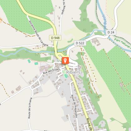
Explore CAMPING LES MYOTIS in Ribiers, Hautes-Alpes

Are you the owner?
Nestled in the picturesque town of Ribiers in the Hautes-Alpes, CAMPING LES MYOTIS is your gateway to the Provence-Alpes-Côte d'Azur region. Kickstart your adventure with a visit to the Parc naturel régional des Baronnies provençales, a natural park brimming with breathtaking landscapes and diverse biodiversity. Hiking enthusiasts will find numerous trails such as the Montagne de Mare path, offeri...See more

Walking around CAMPING LES MYOTIS

See more suggestions
Walks and hikes around CAMPING LES MYOTIS.
See more suggestions
The rock of the eagle
1.3 km

The rock of the eagle

Beautiful challenging hike to reach the ridge of Roc de l'Aigle and its view overlooking the Pays du Buëch and the Jabron Valley. The difficulty of the hike increases all along, up to the ridge. From the fountain in Ribiers ,follow the direction of Sisteron and take the first road on the right. After the cemetery and the bridge, take the road on the right towards "les Charles". 3 hairpin bends further (you may park on the right along the road to avoid a round trip), follow the road for 250 m then branch off to the right and enter a field. Walk along it on the opposite side, then cross a dell (often dry stream) across the forest edge . Climb the slope through the dry lawns then reach an old orchard where the slope softens. Go up to its top (large stone), then continue ascent by slanting to the right. The route winds through dry lawns, passes along a water reservoir and then runs along a hedge between two meadows. It continues through an undergrowth of oaks and junipers until it reaches a track. At the junction with the track, turn left. At the next crossroads, follow the right track. Ignore the different paths and follow the main track. At the intersection, turn right on the perpendicular track. A few steps further, take the path to the left in thick undergrowth. It leads to the path of Pierre Impie. Then turn right, pass the bend and the fence. The balcony track overlooks the Buëch valley and the orchards. The track gives way to a path that climbs rapidly. It skirts the Rock of Pierre Impie. You may see climbers on this impressive stone wall. The path is quite steep and passes through some slippery scree. Once on the ridge, pay attention, don’t be distracted by the panorama while walking. The ground is quite rocky and a few rocky stairs follow one another. At the end of this ridge for a while, you will need to use your hands for progressing. The most curious among your group will go on the right to see a small gravestone on a stratum. At the end of the ridge, a shady path leads down to Ubac. A few switchbacks follow one another, some of them quite steep. On the way out of the woods, walk along a fence. Stay straight on the slope, cutting several cross tracks. When there is no more path, it is on the right; a small ruin remains on a ledge. Follow this path to reach a marker post (N ° 389) and walk back to the left.

5 h
13 km
Easy
Show
Hiking trail "Le Roc de l'Aigle"
1.3 km

Hiking trail "Le Roc de l'Aigle"

A beautiful path to reach the ridge of Roc de l'Aigle which offers a view from above of the Buëch region and the Jabron... From Ribier's fountain, take the road toward sisteron and turn left (post 388). After the cemetary and the bridge, take the right road toward "Les Charles". You will reach the hamlet after ignoring the two roats on the left. You can do this part by car. At Les Charles, the road becomes a steeper path. 600 m later (post 389), turn left at the fork and follow the main trail. Take a right turn next and follow the trail on the left in a thick underwood, toward the Pierre Impie path. Go right and go up to the fence, you'll see the Buëch valley and orchards from a mountain trail. The path becomes a trail going up quickly and around the Pierre Impie rock. You can also see some climbers from this point. The trail can be steep and sometimes slippery. At the ridge, be careful, as the path gets pretty rocky. At the end of the ridge a small path will need you to use your hands to get up, if you're curious, a small stele is on the right there. At the end of the ridge, a trail in the shade goes down to the mountain side, follow the path going up, which is sometimes a bit steep. As you exit the woods, walk along the fence, and proceed forward on the downwards slope. When you reach a part without a path, go right where you'll see some ruins on a flat area, proceed on this path to reach the post 389 and retrace your steps before getting to the end.

5 h
12 km
Hard
Place de la Fontaine Ribiers 05300 Val Buëch-Méouge
Show
Ribiers walk
1.3 km

Ribiers walk

A quiet walk to discover the charming village of Ribiers, the apple trees and the river Buëch. From the Place de la Fontaine, take the road to Laragne a moment north and quickly turn right on the street des Granges. Cross the narrow streets of the village of Ribiers. Turn left on the road to Mison (D 522) and cross the Sisteron Canal (caution, portion on road). Continue on the road along the stream of Clarescombes and just before the bridge over Buëch, turn right. Take this peaceful path that takes the "river edge" from where Ribiers takes its name, on the dam built in the thirteenth century and has helped secure the village and its development. This path is very pleasant and rather well shaded (several benches on the way). At the crossroads, continue left and then turn right just after the locality of Grand Pré Gris (after the building that can be seen on the right and just after the Torrent de Barbelle). Cross the Route of Sisteron and take the path 20 m further to continue along the torrent Barbelle. Cross the Sisteron canal and the long agricultural plain bordering the leisure center. The path leads to the path of Notre Dame des Faysses which must be taken on the left. Along the cemetery and at the corner of it, turn left on the road to the Combe. Go to La Combe and Chaudon. At the crossroads of Secours, cross the road of la Montagne to continue straight on the GRP. The route crosses many fields of fruit trees. In the turn, leave the GRP and the road to take a path on the right. It leads to the place called La Rata. Reach Ribiers by the rue de la Draille.

3 h
4.9 km
Very easy
Show

What to do in CAMPING LES MYOTIS

See more suggestions
Enjoy unforgettable moments in CAMPING LES MYOTIS by booking activities for everyone.
See more suggestions
Camping du Moulin de Thoard
24 km

Camping du Moulin de Thoard

Fabrice and Marie receive you in their campsite in the heart of Provence. Located 900 m away from the hilltop village of Thoard, the Moulin de Thoard campsite is a haven of peace surrounded by nature. Come enjoy the benefits of the Duyes valley. For one night or for longer stays, you will find peace and quiet in our magnificent human-size campsite located in the heart of Provence. In this fast-paced society, it is increasingly difficult to find real time for yourself. When taking over the Moulin de Thoard campsite, we wanted to put forward values that are precious to us, such as benevolence, solidarity and authenticity. It is through our exchanges that we wish to share moments of well-being with you. Here, you will find a calm and restful place in the middle of a natural setting. The valley of Thoard is set back from the main tourist routes, which allows it to keep its authenticity. We buy from local producers, breeders and shops, to offer you quality products in our campsite. This way, we favour short supply chain, limiting our environmental impact as much as possible. We are also very concerned about your well-being and the quality of our reception. Your arrival is for us a privileged moment to which we give all our attention. After a few administrative formalities and safety instructions, we will accompany you to your pitch or rental accommodation. We will show you all the facilities of the campsite so that you can fully enjoy it. Our campsite has: 3 huts, 1 chalet, 1 chalet on stilts, 1 perched caravan, 2 mobile homes, 1 tipi, 1 lodge tent, 1 Safari tent. The campsite is also open to motorhomes within the limits of the allocated space. A service area is provided by the village outside the campsite. You will find all the information you need to prepare your stay on our website. Do not hesitate to contact us for further information. Welcome !

8 Le Planas 04380 Thoard
Book from 0 €Book
Show

IGN cards

3339OT - SISTERON LARAGNE-MONTEGLIN MONTAGNE DE CHABRE
Editor : IGN
Collection : TOP 25 ET SÉRIE BLEUE
Scale : 1:25 000
13.90€
VEL03 - LE VAUCLUSE A VÉLO
Editor : IGN
Collection : DECOUVERTE A VELO
Scale : 1:100 000
9.10€
TOP100D26 - DRÔME VALENCE MONTÉLIMAR DIE PNR DES BARONNIES PROVENÇALES PNR DU VERCORS
Editor : IGN
Collection : TOP 100
Scale : 1:100 000
8.40€
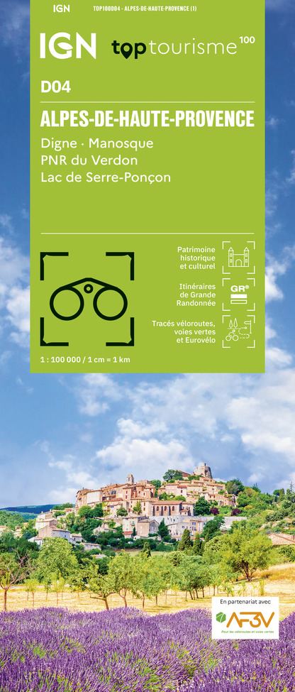
TOP100D04 - ALPES-DE-HAUTE-PROVENCE DIGNE MANOSQUE PNR DU VERDON LAC DE SERRE-PONÇON
Editor : IGN
Collection : TOP 100
Scale : 1:100 000
8.40€
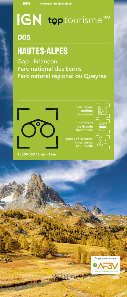
TOP100D05 - HAUTES-ALPES GAP BRIANÇON PARC NATIONAL DES ÉCRINS PARC NATUREL RÉGIONAL DU QUEYRAS
Editor : IGN
Collection : TOP 100
Scale : 1:100 000
8.40€
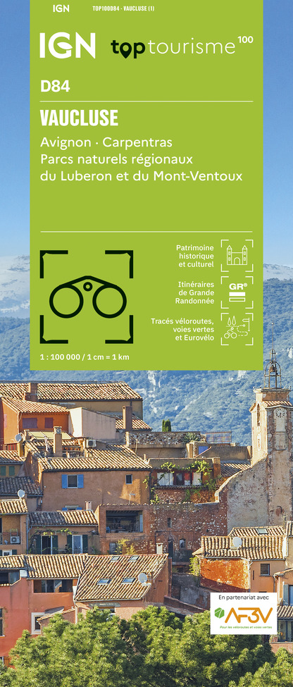
TOP100D84 - VAUCLUSE AVIGNON CARPENTRAS PARCS NATURELS RÉGIONAUX DU LUBERON ET DU MONT-VENTOUX
Editor : IGN
Collection : TOP 100
Scale : 1:100 000
8.40€
D04-05 ALPES-DE-HAUTE-PROVENCE HAUTES-ALPES
Editor : IGN
Collection : CARTES DÉPARTEMENTALES IGN
Scale : 1:150 000
5.90€
D83 VAR
Editor : IGN
Collection : CARTES DÉPARTEMENTALES IGN
Scale : 1:150 000
5.90€
D07-26 ARDÈCHE DRÔME
Editor : IGN
Collection : CARTES DÉPARTEMENTALES IGN
Scale : 1:150 000
5.90€
D13-84 BOUCHES-DU-RHÔNE VAUCLUSE
Editor : IGN
Collection : CARTES DÉPARTEMENTALES IGN
Scale : 1:150 000
5.90€
NR14 AUVERGNE-RHÔNE-ALPES RECTO/VERSO MASSIF CENTRAL
Editor : IGN
Collection : CARTES RÉGIONALES IGN
Scale : 1:250 000
6.80€
NR16 PROVENCE-ALPES-CÔTE D'AZUR
Editor : IGN
Collection : CARTES RÉGIONALES IGN
Scale : 1:250 000
6.80€
NR15 AUVERGNE-RHÔNE-ALPES RECTO/VERSO MASSIF ALPIN
Editor : IGN
Collection : CARTES RÉGIONALES IGN
Scale : 1:250 000
6.80€
EUROPE
Editor : IGN
Collection : DÉCOUVERTE DES PAYS DU MONDE IGN
Scale : 1:2 500 000
7.00€

What to visit in CAMPING LES MYOTIS

See more suggestions
Enjoy the green spaces of CAMPING LES MYOTIS.
See more suggestions

Where to eat in CAMPING LES MYOTIS

See more suggestions
Establishments in CAMPING LES MYOTIS offer dishes for all tastes.
See more suggestions

Where to sleep in CAMPING LES MYOTIS

See more suggestions
Discover popular accommodations in CAMPING LES MYOTIS.
See more suggestions
Camping du Moulin de Thoard
24 km

Camping du Moulin de Thoard

Fabrice and Marie receive you in their campsite in the heart of Provence. Located 900 m away from the hilltop village of Thoard, the Moulin de Thoard campsite is a haven of peace surrounded by nature. Come enjoy the benefits of the Duyes valley. For one night or for longer stays, you will find peace and quiet in our magnificent human-size campsite located in the heart of Provence. In this fast-paced society, it is increasingly difficult to find real time for yourself. When taking over the Moulin de Thoard campsite, we wanted to put forward values that are precious to us, such as benevolence, solidarity and authenticity. It is through our exchanges that we wish to share moments of well-being with you. Here, you will find a calm and restful place in the middle of a natural setting. The valley of Thoard is set back from the main tourist routes, which allows it to keep its authenticity. We buy from local producers, breeders and shops, to offer you quality products in our campsite. This way, we favour short supply chain, limiting our environmental impact as much as possible. We are also very concerned about your well-being and the quality of our reception. Your arrival is for us a privileged moment to which we give all our attention. After a few administrative formalities and safety instructions, we will accompany you to your pitch or rental accommodation. We will show you all the facilities of the campsite so that you can fully enjoy it. Our campsite has: 3 huts, 1 chalet, 1 chalet on stilts, 1 perched caravan, 2 mobile homes, 1 tipi, 1 lodge tent, 1 Safari tent. The campsite is also open to motorhomes within the limits of the allocated space. A service area is provided by the village outside the campsite. You will find all the information you need to prepare your stay on our website. Do not hesitate to contact us for further information. Welcome !

8 Le Planas 04380 Thoard
Book from 0 €Book
Show
Caution!
We have no information on the difficulty of this circuit. You may encounter some surprises along the way. Before you go, please feel free to inquire more and take all necessary precautions. Have a good trip! 🌳🥾