Tours
Activities
Places of interest
Where to eat
Where to sleep
Discover LA CLAPIERE in Embrun, Hautes-Alpes
Are you the owner?Welcome to LA CLAPIERE, your perfect gateway to explore the wonders of Embrun, located in the heart of Hautes-Alpes, Provence-Alpes-Côte d'Azur. Nestled between majestic mountains and crystal-clear rivers, Embrun is a true paradise for nature lovers and adventure enthusiasts. Start your journey with a visit to the stunning Notre-Dame-du-Réal Cathedral, a Gothic architectural gem overlooking the ci...See more
Walking around LA CLAPIERE
See more suggestionsDiscover the nature of LA CLAPIERE on foot.
See more suggestions


What to do in LA CLAPIERE
See more suggestionsRelax and have fun with the available activities in LA CLAPIERE.
See more suggestions


IGN cards

3438ETR - EMBRUN LES ORRES RESISTANTE LAC DE SERRE-PONÇON
Editor : IGN
Collection : TOP 25 RÉSISTANTE
Scale : 1:25 000
17.20€
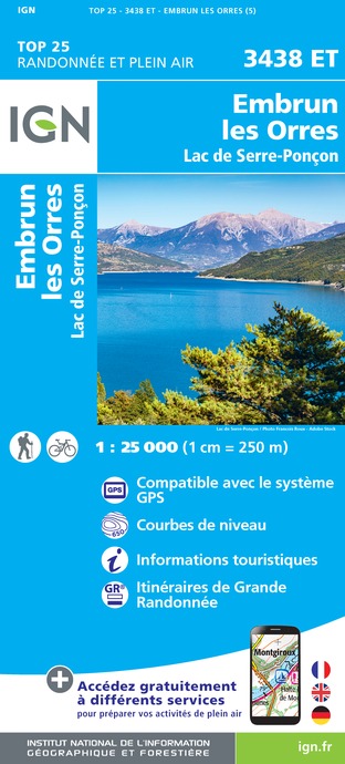
3438ET - EMBRUN LES ORRES LAC DE SERRE-PONÇON
Editor : IGN
Collection : TOP 25 ET SÉRIE BLEUE
Scale : 1:25 000
13.90€
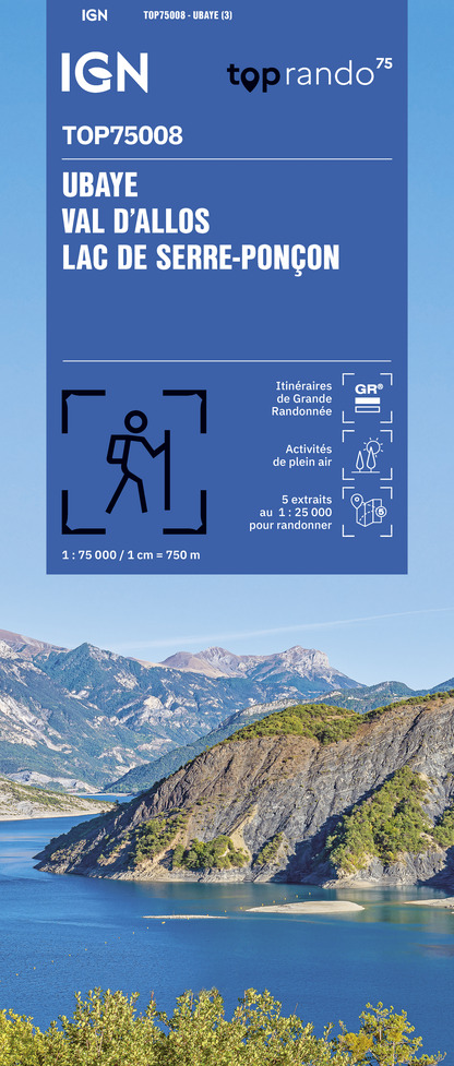
TOP75008 - UBAYE VAL D'ALLOS LAC DE SERRE-PONCON
Editor : IGN
Collection : TOP 75
Scale : 1:75 000
9.80€

TOP75006 - MASSIF DES ECRINS OISANS CHAMPSAUR
Editor : IGN
Collection : TOP 75
Scale : 1:75 000
9.80€

TOP100D04 - ALPES-DE-HAUTE-PROVENCE DIGNE MANOSQUE PNR DU VERDON LAC DE SERRE-PONÇON
Editor : IGN
Collection : TOP 100
Scale : 1:100 000
8.40€

D38 ISÈRE
Editor : IGN
Collection : CARTES DÉPARTEMENTALES IGN
Scale : 1:150 000
5.90€

D04-05 ALPES-DE-HAUTE-PROVENCE HAUTES-ALPES
Editor : IGN
Collection : CARTES DÉPARTEMENTALES IGN
Scale : 1:150 000
5.90€

NR14 AUVERGNE-RHÔNE-ALPES RECTO/VERSO MASSIF CENTRAL
Editor : IGN
Collection : CARTES RÉGIONALES IGN
Scale : 1:250 000
6.80€

NR16 PROVENCE-ALPES-CÔTE D'AZUR
Editor : IGN
Collection : CARTES RÉGIONALES IGN
Scale : 1:250 000
6.80€

NR15 AUVERGNE-RHÔNE-ALPES RECTO/VERSO MASSIF ALPIN
Editor : IGN
Collection : CARTES RÉGIONALES IGN
Scale : 1:250 000
6.80€

EUROPE
Editor : IGN
Collection : DÉCOUVERTE DES PAYS DU MONDE IGN
Scale : 1:2 500 000
7.00€
What to visit in LA CLAPIERE
See more suggestionsDiscover the nightlife of LA CLAPIERE.
See more suggestions


Where to eat in LA CLAPIERE
See more suggestionsThe restaurants of LA CLAPIERE await you.
See more suggestions


Where to sleep in LA CLAPIERE
See more suggestionsEnjoy our accommodation recommendations in LA CLAPIERE.
See more suggestions


