Alert
Alerts
Loop 59 - From Embrun to Les Orres


Description
Les Orres! Well-known for its mountain biking, the Gravel can certainly hold its own with this 50km loop for sports enthusiasts.
Facing the lake, (start of the mountain bike circuits), join the dam and turn left. Follow the course of the Durance. At the footbridge, cross the stream and turn right. Head along the left bank of the Durance, passing under the bridge. At the no-cycling sign, turn left to cross the business park. After the footbridge, continue along the dam towards Crots. At the end of the dam, turn 190 degrees to the left.
Just before the N94, take the cycle lane on the left and cross the road through the tunnel. At the end of the tunnel, turn right. At the D90, turn left (/!\ for cars). At the crossroads, turn right and pass in front of Crots town hall. At the Château de Picomtal roundabout, turn left.
Before the bridge (torrent de Bellegrave), descend to the left then turn right to go along the stream to the bridge. At the bridge, ascend to the right.
At Chènevières (at the stop sign), ascend the road to the right. At the entrance to the impasse de la Combe, turn right. Continue to the crossroads (recycling point) and turn left. After climbing the hairpin road, continue on the track.
At DFCI track H18, take a left hairpin turn and continue straight ahead.
As the GRP (red and yellow markings) veers to the left, you ascend to the right. Cross the bridge, then continue along the main path to the left. At the Domaine du Loup Blanc, continue on the hairpin road. At Prélallègre, take the main road on the right towards the resort centre of Les Orres 1650.
At the Chalet de la Navette in Bois Mean, continue straight ahead on Allée des Chamois, then go left down the Allée des Fouonts After the gate, take the left-hand path onto the ski slopes. Continue straight on up the path, passing through larch undergrowth. /!\ roots. In the larch undergrowth, choose the downhill option on the left.
At les Abouchiers, descend the track on the left towards "le Melezet". At Les Seyes, continue downhill to the right to reach the hamlet and the road. On the road, turn right.
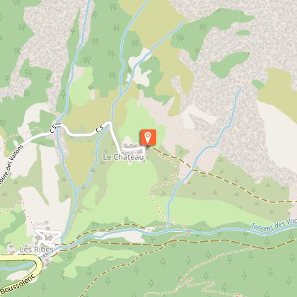
In the bend before the bridge, go right up the track towards "Grand Vallon". At the fountain, continue straight on towards the Saint-Pierre chapel and the Grand Vallon. Then descend to the left, cross the bridge and cross to the right bank of the torrent (return trip possible to the Grand Vallon, add 10 km). At the Château, continue left along the road to Les Orres county town. On leaving "Bas Forest", continue straight ahead on the flat road.
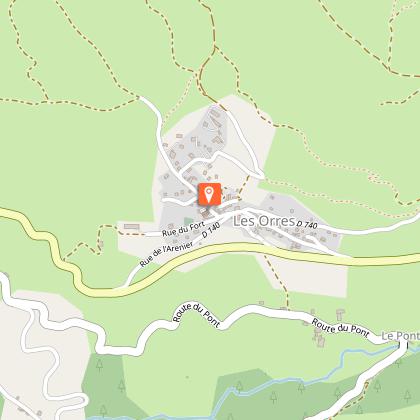
At Rue du Fort turn right towards the church. After the communal fountain, turn right twice onto the Méale road and then the stony track.
At the crossroads of the DFCI track H24, descend to the right. At Faravelle continue straight downhill then turn right. At the junction at the end of the level track, turn right and stay on the main path. At Les Gaillards, turn right down the road towards Saint-Sauveur. At the church of Saint-Sauveur, turn right onto the road. At Coin Haut, turn left and follow the D994d along the left bank of the Durance, then cross the wooden bridge to change banks. Stay on the right bank to reach the lake.
Technical Information
Altimetric profile
Starting point
Points of interest


Additional information
Public transport
SNCF: Chorges station, Embrun www.sncf-connect.com/bus : Valserres, La Bâtie Neuve, Chorges, Puy Saint Eusèbe, Puy Sanières, Embrun Baratier, Les Orres, Remollon, Theus, EspinasseMarseille-Briançon : (LER29) Marseille, Nice : Lignes Express Régionales (LER) +33 (0)809 400 415Grenoble : Transisère +33 (0)4 26 16 38 38Gap-Barcelonnette (LER535) Carpooling area : Rond point des Orres - 05200 BaratierPlane: Marseille Provence Airport (188km) - +33 (0)820 811 414Grenoble Alpes Isère Airport (158km) - +33 (0)4 76 65 48 48Lyon Saint Exupéry Airport - (203km) +33 (0)826 800 826Turin Caselle Airport - (178km) + 39 011 567 63 78
Advice
Avant de partir vérifiez l’état de votre vélo, surveillez la météo et équipez vous selon la saison et la durée de votre randonnée.Vous évoluez en zone de montagne, privilégiez des pneus de Gravel large, des freins à disque hydraulique et maitrisez votre vitesse. Prudence dans la descente du Hameau de Vière et pour rejoindre la vallée de la Durance.Pour plus de confort faites appel à un moniteur de cyclisme Secours : 112
Herd protection dogs
In mountain pastures, protection dogs are there to protect the herds from predators (wolves, etc.). When I hike I adapt my behavior by going around the herd and pausing for the dog to identify me. Find out more about the actions to adopt with the article "Protection dogs: a context and actions to adopt". Tell us about your meeting by answering this survey.
Advised parking
Embrun lake car park
Access
From Marseille, Montpellier A51 to La Saulce, continue towards Tallard (D942) and Briançon (RN 94).
Arrival
Embrun
Ambiance
A demanding Gravel loop for experienced riders only. One ascent, one descent and 20 undulating kilometres in between. The route mainly takes in woodland, with a bit of a ski resort and mountain atmosphere in the valley of the torrent des Vachères. A return trip to the Grand Vallon hut is available as an option.
Departure
Embrun
Data author
