Tours
Activities
Places of interest
Where to eat
Where to sleep
Explore CAMPING LOU PIBOU SAS in Saint-vincent, Tarn-et-Garonne
Are you the owner?Welcome to CAMPING LOU PIBOU SAS, located in the charming village of Saint-vincent, nestled in the heart of the Midi-Pyrénées region. This picturesque area immerses you in a rich natural and cultural setting, perfect for outdoor adventures and historical discoveries.
Discover the medieval village of Saint-Antonin-Noble-Val, one of the most beautiful villages in France, and explore its picturesqu...See more
Discover the medieval village of Saint-Antonin-Noble-Val, one of the most beautiful villages in France, and explore its picturesqu...See more
Walking around CAMPING LOU PIBOU SAS
See more suggestionsTake a walk around CAMPING LOU PIBOU SAS.
See more suggestions


")


What to do in CAMPING LOU PIBOU SAS
See more suggestionsEnjoy the activities available in CAMPING LOU PIBOU SAS for moments of relaxation and fun.
See more suggestions


IGN cards
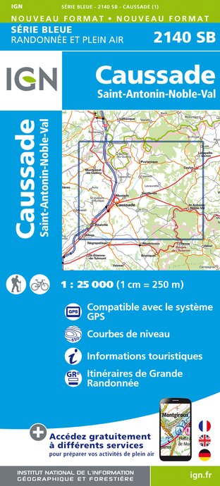
2140SB - CAUSSADE SAINT-ANTONIN-NOBLE-VAL
Editor : IGN
Collection : TOP 25 ET SÉRIE BLEUE
Scale : 1:25 000
13.90€

TOP100D81 - TARN ALBI CASTRES PNR DU HAUT-LANGUEDOC
Editor : IGN
Collection : TOP 100
Scale : 1:100 000
8.40€
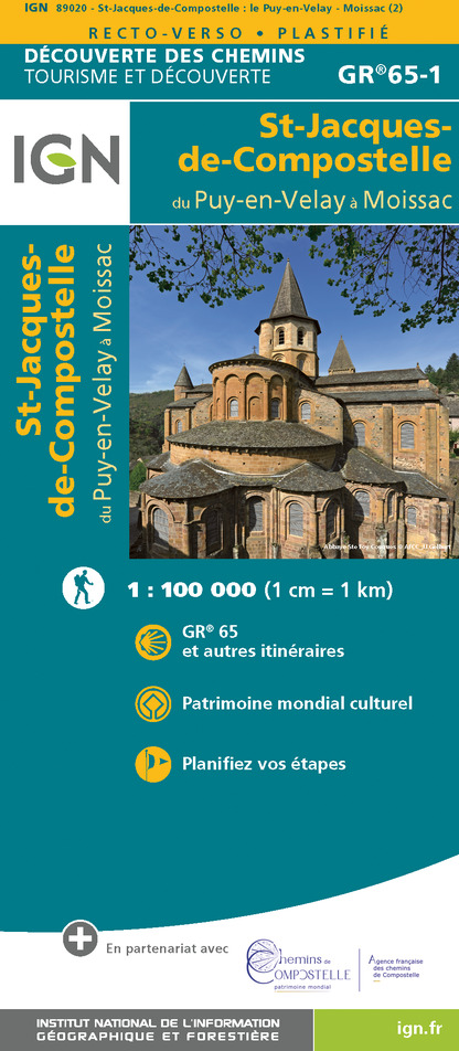
89020 - ST-JACQUES-DE-COMPOSTELLE GR®65-1 DU PUY-EN-VELAY A MOISSAC
Editor : IGN
Collection : DECOUVERTE DES CHEMINS
Scale : 1:100 000
9.10€

D11-81 AUDE TARN
Editor : IGN
Collection : CARTES DÉPARTEMENTALES IGN
Scale : 1:150 000
5.90€

D46-47 LOT LOT-ET-GARONNE
Editor : IGN
Collection : CARTES DÉPARTEMENTALES IGN
Scale : 1:150 000
5.90€

D32-82 GERS TARN-ET-GARONNE
Editor : IGN
Collection : CARTES DÉPARTEMENTALES IGN
Scale : 1:150 000
5.90€

NR10 NOUVELLE-AQUITAINE RECTO /VERSO LIMOUSIN POITOU
Editor : IGN
Collection : CARTES RÉGIONALES IGN
Scale : 1:250 000
6.80€

NR11 NOUVELLE-AQUITAINE RECTO/VERSO BASSIN AQUITAIN
Editor : IGN
Collection : CARTES RÉGIONALES IGN
Scale : 1:250 000
6.80€

EUROPE
Editor : IGN
Collection : DÉCOUVERTE DES PAYS DU MONDE IGN
Scale : 1:2 500 000
7.00€
What to visit in CAMPING LOU PIBOU SAS
See more suggestionsVisit the historical sites of CAMPING LOU PIBOU SAS.
See more suggestions


Where to eat in CAMPING LOU PIBOU SAS
See more suggestionsDiscover the culinary diversity of CAMPING LOU PIBOU SAS.
See more suggestions
")


Where to sleep in CAMPING LOU PIBOU SAS
See more suggestionsExplore lodging possibilities in CAMPING LOU PIBOU SAS.
See more suggestions


