Tours
Activities
Places of interest
Where to eat
Where to sleep

Villa Cyriel: discover the gems of Contes

Are you the owner?
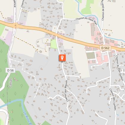
Nestled in the heart of the Alpes-Maritimes, Villa Cyriel in Contes is the perfect starting point to explore the beautiful Provence-Alpes-Côte d'Azur region. Start your day with a visit to the old village, featuring charming narrow streets and stone houses. Just a short distance away, the surrounding hills offer numerous hiking trails, ideal for nature lovers and breathtaking landscapes.
Histo...
See more

Walking around VILLA CYRIEL

See more suggestions
Explore the walking circuits of VILLA CYRIEL.
See more suggestions
Hiking Tour of Mont Gros
10 km

Hiking Tour of Mont Gros

A rounded peak surrounded by limestone bars with peaks, Mont Gros abruptly dominates the bay of Roquebrune and the vast beach of Cabbé where paragliders and hang gliders find an ideal landing ground. From the Col de la Coupière (440 m), head south up the DFCI Trois Monts track (GR 51) before soon turning left onto the small diverticulum known as the "Rossignola"; this brings you to a significant bend in the road where you leave the track once again for the path that rises up the ubac of Mont Gros to a small collet located just above the nearby summit. Make a short return journey to the take-off area to admire the panorama of the summit of Mont Gros (686 m) and the prowess of the "libéristes" on their way to the beach of Cabbé, the ideal landing area. From the collet of Mont Gros, descend due south along a good path facing the sea on the generously reforested adret; when you reach the Fenouil houses, turn left to cross the eastern side of Mont Gros horizontally. A final climb through a coppice of yew trees takes you back to a small pass where you can follow the same route as before; you can easily reach the Coupière pass by the path, then the track followed on the way up. Road access From the N.7 at Cap Martin, go up the D.51 road towards La Turbie for 2.5 km. On the inside of a large curve, turn right onto the D.50 road leading to Gorbio; follow this road for 1 km and then turn left onto the narrow and steep asphalt path of La Coupière which leads to the car park of the pass (440 m).

2 h
5.2 km
06500 Gorbio
Show

What to do in VILLA CYRIEL

See more suggestions
Explore VILLA CYRIEL through its many bookable activities.
See more suggestions

What to visit in VILLA CYRIEL

See more suggestions
Attend events organized in VILLA CYRIEL.
See more suggestions
Col de Castillon - Site of the old village
12 km

Col de Castillon - Site of the old village

Col de Castillon. Site of two ancient villages of Castillon, with the remains of the old church. A loop allows to make the tour of the old village. Magnificent panoramic view. Starting point of hikes and pass appreciated by cyclists. "Castillionum" was created in 1157 by the Consuls of Sospel to protect the Sospel people from Lombard and Saracen invasions. the Sospel people from Lombard and Saracen invasions. Castillon then became the property of the Counts of Ventimiglia, the Consul Vento de Menton before being attached to the Lord of the Consul Vento of Menton before being attached again to the Lord of Sospel. In 1348, the village became part of the Principality of Monaco then, in 1376, it was once again the property of the Lord of Sospel, then under the domination of the House of Savoy. In 1793, Castillon became French. An earthquake destroyed the village on 23 February 1887. In the 1930s, a Maginot Line fort was built under the ruins of the village of a fort of the Maginot line intended to stop the possible Italian attacks. This fort was only used for a few days in June 1940. It was nevertheless. Nevertheless, it was the target of Allied bombing raids in 1944 to repel German troops.It should be noted that the cross on the former Place Saint Joseph was stolen between the two world wars and was recently put back in place (May 2010). Rebuilt on almost the same site, below, in 1888, the village of Castillon was bombed in 1944 by the Allied fleet in order to liberate the area then occupied by German and Italian forces. As the Fort was a potential target in the years following the end of the war, the years after the end of the war, no one was allowed to resettle and the village was razed to the ground.

06500 Castillon
Show
Castellar, former fief of the Lascaris
14 km

Castellar, former fief of the Lascaris

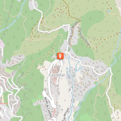
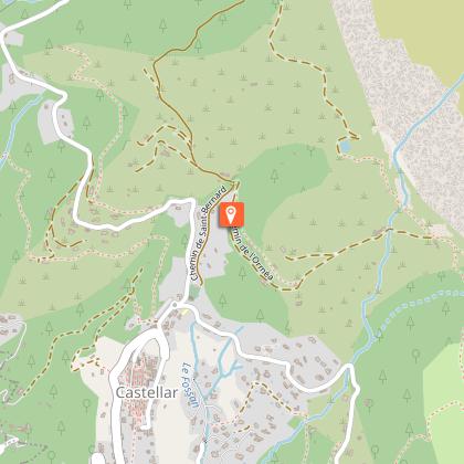
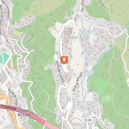
Castellar, a stopover on the GR 51 and 52, is a relaxing village with picturesque streets. Former stronghold of the Lascaris counts, the village, 7Km from the beaches, welcomes visitors and hikers all year round thanks to its natural and cultural heritage. Castellar has a beautiful heritage: vaulted passages, numerous facades in yellow and orange tones, a baroque style palace, fountains and wash houses from the 19th century, religious buildings, agricultural buildings...  Today, several craftsmen and artists exhibit their works here: Martine Prunier, artist-plastician, offers her workshops in the former Penitents Noirs chapel, at 5 rue Sarrail; Sculpture and painting at the Galerie Collectif d'Artistes Plasticien.nes, on the Place Clemenceau; A. Simonetti Blades blacksmith-cutter, courtyard of the Palais Lascaris, at 58 rue de la République; Rachel Sanchez proposes her artistic ceramics at 52 rue de la République; Michel Morlot and Louis Guiguet, artists-painters, exhibit at the Castell'Art gallery, at 58 rue de la République; Castellar is also known for its hiking trails which offer a magnificent panorama of the sea, the valley and the surrounding mountains, as well as breathtaking views of Menton, Italy and the French Riviera coastline.  To see: The medieval town, the oil mill, the Palais Lascaris, the Chapel of the White Penitents and the Chapel of the Black Penitents and the surrounding chapels Hiking: known stage of the GR 51 and 52, the Plan du Lion, Castellar-Menton, the Grand Mont/Grammondo, the Roc de l'Orméa tour. 

58, rue de la République 06500 Castellar
Show
Natura 2000 : Bat sites of Breil-sur-Roya
14 km

Natura 2000 : Bat sites of Breil-sur-Roya

Crossed by the cross-border Roya river, this site offers a wide range of altitudinal variations (from 182 m to 1602 m). This amplitude contributes to its richness. The main centres of biological diversity are located on the left bank of the Roya, on the slopes overlooking the commune of Breil-sur-Roya and the border ridge, and in the southern part of the site, an area more marked by Mediterranean influences. The most remarkable formations in terms of vegetation are the oyster beds, cliff vegetation and the old olive-growing terraces. The main issue is the alluvial forests, which play a key role for bats. A stronghold of olive production in the 19th century, the landscape was shaped by these terraced crops softening the slopes and reducing the forest cover. Notre-Dame du Mont Chapel : This site has been primarily designated for its wealth of bats. Important populations of Grand Rhinolophe, Euryale Rhinolophe and especially the Murin with indented ears (the largest colony of calving for the region) are housed in the Chapel of Notre-Dame du Mont in particular. Apart from this exceptional character, the site is also located in the central part of the known range of the Strinati's Spelerpès. Among the insects, the Plum Borer (the fifth station listed in the department) and the Red-winged Moth are a priority issue for the site, as is the white-footed crayfish, which is found in notable densities in the Roya. Finally, concerning the flora, Ligurian gentian is abundant at the edge of the site. This Natura 2000 site has the particularity of being centred on the village of Breil-sur-Roya and its dwellings. Thus, human activity is widespread but varies greatly from one area to another. The site extends over a little less than a third of the communal area, from the Giandola district in the north to the foothills of the hamlet of Piène-Haute in the south and from the Pinéa district in the west to the Tête d'Alpe in the east. The topography is very rugged as evidenced by the presence of several mountain peaks: the Cime du Bosc on the right bank (1124 m) and especially the Arpette (1611 m) or Mount Fourquin (1420 m) on the left bank. The territory of the site is also exposed to significant climatic variability. The commune of Breil-sur-Roya, located at a low altitude (300 m), experiences less rainfall and milder temperatures than the surrounding peaks. This area is strongly influenced by the mild and humid climate that characterises the Gulf of Genoa region in Italy. The border slope is colder and wetter. The aquatic environment is modified by Lake Breil-sur-Roya, which is a reservoir supplying the hydroelectric plant located downstream of the village. Several activities are likely to have an impact along the Roya River. Agriculture in Breil-sur-Roya is still marked by a large number of farms, mainly oriented towards olive growing (mostly family, occasional). Pastoral activity is also present in various sectors of the site. The forest management of the site by the ONF is almost exclusively oriented towards protection. Finally, sports and leisure activities are numerous: hiking and horseback riding, mountain biking, canyoning, rafting, fishing, motorized activities, etc. Sports and leisure activities are numerous and varied on the site. The activities of hiking and mountain biking are particularly popular and the site offers Numerous trails and tracks for all types of users. The border ridge, the valley path, the GR 510 and 52a as well as the access paths to the hamlets of Libre and Piène-Haute are the most frequented. The other major leisure centre is for aquatic activities. All levels are present and thus allow to attract both the uninitiated and the passionate. White-water sports (various rafting, kayaking, water hiking, etc.) on the Roya, upstream from the village, complete the picture. Breil-sur-Roya is in fact known for its canyons, the Carleva valley, the Audin stream (Fanghetto), an ideal water hike for an initiation and for children, and finally the famous Maglia river (difficult level).

06540 Breil-sur-Roya
Show

Where to eat in VILLA CYRIEL

See more suggestions
Discover the culinary diversity of VILLA CYRIEL.
See more suggestions

Where to sleep in VILLA CYRIEL

See more suggestions
Choose from a variety of lodgings in VILLA CYRIEL.
See more suggestions
Caution!
We have no information on the difficulty of this circuit. You may encounter some surprises along the way. Before you go, please feel free to inquire more and take all necessary precautions. Have a good trip! 🌳🥾