Tours
Activities
Places of interest
Where to eat
Where to sleep

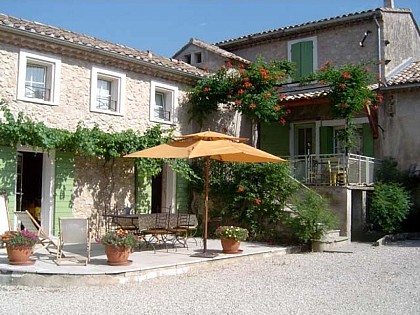
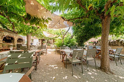
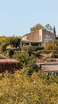
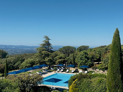
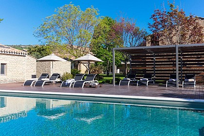
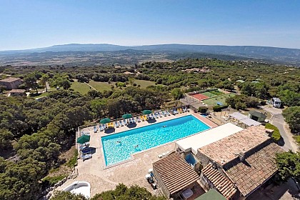
Memorable stay at IBIS Cavaillon Luberon, Vaucluse

Are you the owner?
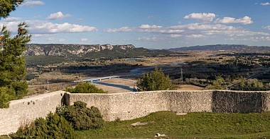
Welcome to IBIS Cavaillon Luberon, the perfect base for discovering the treasures of Vaucluse. Nestled between the Luberon and the Alpilles, Cavaillon is surrounded by picturesque landscapes and remarkable historical sites. Start with a visit to the Saint-Jacques hill, offering breathtaking panoramic views of the town and Durance Valley. Hiking enthusiasts can explore the trails of the Luberon Reg...See more

Walking around IBIS CAVAILLON LUBERON

See more suggestions
Explore the natural surroundings of IBIS CAVAILLON LUBERON.
See more suggestions
Rocks of Baude
3 km

Rocks of Baude

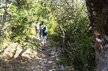
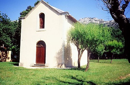
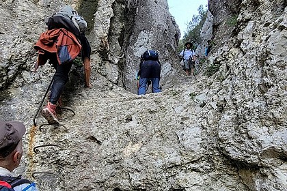
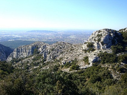
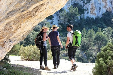
A short but singular stroll between cliffs, balms and ledges of the west end of the Petit Luberon. With your back turned to the town hall, take the CHemin de Robion on the left and pass the cemetery. 1 - At the next intersection, continue straight on the road. Pass the Saint-Gens chapel, then 400m further, turn right on the Chemin de Boulon. Turn left on the edge of the woods. When reaching the big clearing of Boulon, go up the paved road for 200m and turn right. 2 – At the pole'Boulon', go down the gravel path and at the mouth of the field and the source of Boulon, turn left and, 50m higher, climb to the right on the path (steep at the beginning). Stay on the right until you reach the foot of the cliffs. Weave through the large balms while enjoying passages of cliff ledges. After the circus of Boulon, pass below the large face of the rocks of Baude. Cross the rock shelter and climb to the breach of Castellas avoiding the steps that descend towards the foot of the massif (the marking is tricky). Cross the breach and switch to the gorges of Badarel. Careful, the trail is quite steep and stony. 3 - At the bottom of the ravine (pole:'The Castellas'), turn right and start the descent of the gorges of Badarel. Caution, it is narrow, steep, rocky and it includes a short passage with a ladder. Continue through the bottom of the valley and reach a track. Head across, then at the first houses, cross a barrier and continue until the Chemin de Robion. 4 - Turn left to return to the starting point.

3 h
5.9 km
Hard
Show
La Pierre trail
4.2 km

La Pierre trail

This route allows you to discover Orgon's geoheritage and appreciate the flora and fauna variety of the different natural environments. From the museum, climb to the arena and take the path with the windmill adjacent to the chains of the DFCI (prevention policy for forest fires) and go through the pine forest. 1 – At the direction sign, turn right towards the chapel. Let on the right and go on the left trail. Continue until about 200 m. An old quarry appair on the left. 2 – Climb the path until the viewpoint then take the trail opposite the viewpoint towards the pine forest. Go down the steps and go along a rainwater ditch bordered by drystone walls. Meet the direction sign. 3 – Turn right towards N. D. Beauregard. Climb to the cemetery going along the right side. 4 – Cross the road to the cemetery. Take the stairs and go up the little road of N.D. Beauregard. Go up to the chapel. Pass under the porch to the left and climb up to the orientation table. 5 – Go back down, pass under the porch again and take the path to the oratories on the left. Go down the steps and then turn to the right and follow the path to the reservoirs. Go down the trail towards the ruins of the castle of the Duke of Guise. 6 – Pass under the Porte de l'Hortet, a fortified gateway. Go down until the church square and take the stairs in the shape of a "horseshoe" to get to the Place de la Victoire. Continue through the Rue Jules Robert until the Porte Sainte-Anne, a fortified gateway. Pass the gateway and take the stairs on the left connected to the Urgonia Museum to end the walk.

1 h
3.4 km
Very easy
Show
The Bastidon Pradon
8.3 km

The Bastidon Pradon

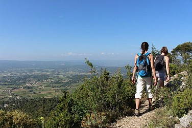
A quick and active ascent of the north side of the Petit Luberon, in a wild atmosphere between forest and scrubland. A long lasting feeling, pure thrill! From the Place de la Croix, go along the halls, keep walking and turn left on Rue de l'Ecole". Turn right and reach below the Chemin de la Fontaine (GR®). Take the road on the right. 1- At the crossroads "Poudarrigue'', continue the GR® to the right and climb the stony path. Reach a hillock (338m) and continue up to the right. After the several switchbacks, continue climbing the mount and finally reach the paved forest path. 2- Turn left and 20m further go to the right in the undergrowth (GR®). Reach the small mountain hut of Bastidon du Pradon 150m away. Retrace your steps to the point 2, turn left and take the forest track to the west (PR). 250m further, pass the crossroads "La Jassine" and continue straight, on the track. Let yourself slide over 1km. 3- At the crossroads "Les Aires de Bedoin'', turn right and follow the dirt and stone track. Continue on 400m on the plateau. 4- Be careful not to miss the path on the right (Cairn - turn around if you reach to the weather station!). Moving forward on the edge of the Barre de Fiot (markings hardly noticeable). After the Barre de Gautier, move to the right (point 601m), go 300m down and switch left into the valley. 500m further and 180m lower down, continue on the left flank of the valley, crossing several hairpin bends and come out on the trail in the foothills. 5- Turn right (GR®), descend some more then rise slightly to switch to the clearing of Combrès valley. After the vineyard, turn left at the crossroads "Combrès", then climb the old cobblestone path to the right that leads up some steps in the village of Oppède-le-Vieux.

4 h
8.9 km
Hard
Show
Mourre de Cairas
8.3 km

Mourre de Cairas

After Mourre Nègre on the Grand Luberon, here is Mourre of Cairas, at the peak of the Petit Luberon. Not less spectacular, on the contrary! From the Place de la Croix, go along the halls, keep walking and turn left on Rue de l'Ecole". Turn right and reach below the Chemin de la Fontaine (GR).). Take the road on the right. 1- At the crossroads'Poudarrigue'', leave the GR and continue left on Chemin de la Perrière. 800m further, when at the second house, take a right (RP). Reach a flat area, join the valley and continue to the left. Cross the collar of Ribas de Pire and down the slope,take a left. 2- At the track crossroads , turn right (RP), pass more then three homes and cross the collar of Grimouret. Down the steep path, continue right and quietly up the floor of the valley. 3- At the crossroads'Poudarique' ', turn right and climb the trail to Mourre de Flamarin (RP). After a curve to the left, go forward on the flat area and reach the paved forest path. 4- Turn right and proceed 400m, pass the hilltop of the Mourre de Cairas (733m) on the right and continue on the track for 1.5km. 5- At the crossroads'Bastidon Pradon' turn to the left in the undergrowth and reach the small refuge that is 150m away. Retrace your steps to point 5, cross the forest track and go straight to "l'épaule de la Jassine" (GR). Then switch to the slope, cross several curves and reach a little collar lower down. Continue on the left, pass below the Ribas de Brécugne (climbing school site) and reach the chemin de la Fontaine. 1- Go back Place de la Croix through the path used at the start (GR).

4 h
11 km
Hard
Show
The Bastidon Pradon
8.3 km

The Bastidon Pradon

A quick and active ascent of the north side of the Petit Luberon, in a wild atmosphere between forest and scrubland. A long lasting feeling, pure thrill! From the Place de la Croix, go along the halls, keep walking and turn left on Rue de l'Ecole". Turn right and reach below the Chemin de la Fontaine (GR®). Take the road on the right. 1- At the crossroads "Poudarrigue'', continue the GR® to the right and climb the stony path. Reach a hillock (338m) and continue up to the right. After the several switchbacks, continue climbing the mount and finally reach the paved forest path. 2- Turn left and 20m further go to the right in the undergrowth (GR®). Reach the small mountain hut of Bastidon du Pradon 150m away. Retrace your steps to the point 2, turn left and take the forest track to the west (PR). 250m further, pass the crossroads "La Jassine" and continue straight, on the track. Let yourself slide over 1km. 3- At the crossroads "Les Aires de Bedoin'', turn right and follow the dirt and stone track. Continue on 400m on the plateau. 4- Be careful not to miss the path on the right (Cairn - turn around if you reach to the weather station!). Moving forward on the edge of the Barre de Fiot (markings hardly noticeable). After the Barre de Gautier, move to the right (point 601m), go 300m down and switch left into the valley. 500m further and 180m lower down, continue on the left flank of the valley, crossing several hairpin bends and come out on the trail in the foothills. 5- Turn right (GR®), descend some more then rise slightly to switch to the clearing of Combrès valley. After the vineyard, turn left at the crossroads "Combrès", then climb the old cobblestone path to the right that leads up some steps in the village of Oppède-le-Vieux.

4 h
8.9 km
Hard
Show
Mourre de Cairas
8.3 km

Mourre de Cairas

After Mourre Nègre on the Grand Luberon, here is Mourre of Cairas, at the peak of the Petit Luberon. Not less spectacular, on the contrary! From the Place de la Croix, go along the halls, keep walking and turn left on Rue de l'Ecole". Turn right and reach below the Chemin de la Fontaine (GR).). Take the road on the right. 1- At the crossroads'Poudarrigue'', leave the GR and continue left on Chemin de la Perrière. 800m further, when at the second house, take a right (RP). Reach a flat area, join the valley and continue to the left. Cross the collar of Ribas de Pire and down the slope,take a left. 2- At the track crossroads , turn right (RP), pass more then three homes and cross the collar of Grimouret. Down the steep path, continue right and quietly up the floor of the valley. 3- At the crossroads'Poudarique' ', turn right and climb the trail to Mourre de Flamarin (RP). After a curve to the left, go forward on the flat area and reach the paved forest path. 4- Turn right and proceed 400m, pass the hilltop of the Mourre de Cairas (733m) on the right and continue on the track for 1.5km. 5- At the crossroads'Bastidon Pradon' turn to the left in the undergrowth and reach the small refuge that is 150m away. Retrace your steps to point 5, cross the forest track and go straight to "l'épaule de la Jassine" (GR). Then switch to the slope, cross several curves and reach a little collar lower down. Continue on the left, pass below the Ribas de Brécugne (climbing school site) and reach the chemin de la Fontaine. 1- Go back Place de la Croix through the path used at the start (GR).

4 h
11 km
Hard
Show

What to do in IBIS CAVAILLON LUBERON

See more suggestions
Exciting adventures await you in IBIS CAVAILLON LUBERON, book now.
See more suggestions

What to visit in IBIS CAVAILLON LUBERON

See more suggestions
Relax in the parks of IBIS CAVAILLON LUBERON.
See more suggestions
Where to eat in IBIS CAVAILLON LUBERON

See more suggestions
Food enthusiasts will love IBIS CAVAILLON LUBERON's restaurants.
See more suggestions

Where to sleep in IBIS CAVAILLON LUBERON

See more suggestions
Discover popular accommodations in IBIS CAVAILLON LUBERON.
See more suggestions
Caution!
We have no information on the difficulty of this circuit. You may encounter some surprises along the way. Before you go, please feel free to inquire more and take all necessary precautions. Have a good trip! 🌳🥾