Tours
Activities
Places of interest
Where to eat
Where to sleep
Bouilhonnac, Aude, Languedoc-Roussillon
Are you in charge of the destination?Welcome to Bouilhonnac, a charming village nestled in the heart of the Aude department in the Languedoc-Roussillon region. This peaceful haven is surrounded by rolling landscapes, picturesque vineyards, and lush forests, offering an ideal setting for nature lovers and tranquility seekers. Bouilhonnac boasts a rich historical heritage, with its Romanesque Saint-Saturnin church and centuries-old sto...See more
Walking around Bouilhonnac
See more suggestionsDiscover the trails of Bouilhonnac.
See more suggestions


What to do in Bouilhonnac
See more suggestionsBook your activities in Bouilhonnac and experience memorable moments.
See more suggestions


IGN cards
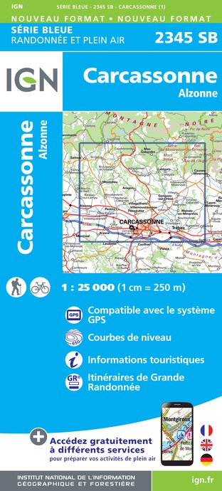
2345SB - CARCASSONNE ALZONNE
Editor : IGN
Collection : TOP 25 ET SÉRIE BLEUE
Scale : 1:25 000
13.90€

TOP100D11 - AUDE CARCASSONNE NARBONNE LIMOUX QUILLAN CANAL DU MIDI
Editor : IGN
Collection : TOP 100
Scale : 1:100 000
8.40€

89031 - LE CANAL DU MIDI
Editor : IGN
Collection : DECOUVERTE DES CHEMINS
Scale : 1:100 000
9.10€

D11-81 AUDE TARN
Editor : IGN
Collection : CARTES DÉPARTEMENTALES IGN
Scale : 1:150 000
5.90€

D09-66 ARIÈGE PYRÉNÉES-ORIENTALES
Editor : IGN
Collection : CARTES DÉPARTEMENTALES IGN
Scale : 1:150 000
5.90€

EUROPE
Editor : IGN
Collection : DÉCOUVERTE DES PAYS DU MONDE IGN
Scale : 1:2 500 000
7.00€
What to visit in Bouilhonnac
See more suggestionsLearn the history of Bouilhonnac through its museums.
See more suggestions


Where to eat in Bouilhonnac
See more suggestionsRestaurants in Bouilhonnac offer a friendly atmosphere.
See more suggestions


Where to sleep in Bouilhonnac
See more suggestionsStay in unique accommodations in Bouilhonnac.
See more suggestions


")


