Tours
Activities
Places of interest
Where to eat
Where to sleep
Discover the treasures of Arzens with CAMPING LES LACS DU VERDON HOMAIR VACANCES
Are you the owner?Welcome to Arzens, a hidden gem in the Aude region of Languedoc-Roussillon! From your stay at CAMPING LES LACS DU VERDON HOMAIR VACANCES, embark on a journey of enchanting landscapes and varied activities that will make your stay unforgettable. Begin by exploring the picturesque village of Arzens, known for its charming streets and stone houses. Then, venture into the surrounding vineyards to tast...See more
Walking around CAMPING LES LACS DU VERDON HOMAIR VACANCES
See more suggestionsStroll through the walking routes of CAMPING LES LACS DU VERDON HOMAIR VACANCES.
See more suggestions


")


What to do in CAMPING LES LACS DU VERDON HOMAIR VACANCES
See more suggestionsBook your activities in CAMPING LES LACS DU VERDON HOMAIR VACANCES and experience memorable moments.
See more suggestions


IGN cards
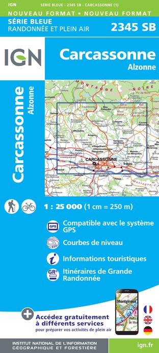
2345SB - CARCASSONNE ALZONNE
Editor : IGN
Collection : TOP 25 ET SÉRIE BLEUE
Scale : 1:25 000
13.90€

TOP100D11 - AUDE CARCASSONNE NARBONNE LIMOUX QUILLAN CANAL DU MIDI
Editor : IGN
Collection : TOP 100
Scale : 1:100 000
8.40€

TOP100D66 - PYRÉNÉES-ORIENTALES PERPIGNAN PRADES CÉRET CÔTE VERMEILLE PNR DES PYRÉNÉES CATALANES
Editor : IGN
Collection : TOP 100
Scale : 1:100 000
8.40€

TOP100D09 - ARIÈGE FOIX SAINT-GIRONS PNR DES PYRÉNÉES ARIÉGEOISES
Editor : IGN
Collection : TOP 100
Scale : 1:100 000
8.40€

89031 - LE CANAL DU MIDI
Editor : IGN
Collection : DECOUVERTE DES CHEMINS
Scale : 1:100 000
9.10€

D09-66 ARIÈGE PYRÉNÉES-ORIENTALES
Editor : IGN
Collection : CARTES DÉPARTEMENTALES IGN
Scale : 1:150 000
5.90€

D11-81 AUDE TARN
Editor : IGN
Collection : CARTES DÉPARTEMENTALES IGN
Scale : 1:150 000
5.90€

EUROPE
Editor : IGN
Collection : DÉCOUVERTE DES PAYS DU MONDE IGN
Scale : 1:2 500 000
7.00€
What to visit in CAMPING LES LACS DU VERDON HOMAIR VACANCES
See more suggestionsDiscover the local markets of CAMPING LES LACS DU VERDON HOMAIR VACANCES.
See more suggestions


Where to eat in CAMPING LES LACS DU VERDON HOMAIR VACANCES
See more suggestionsExplore the best dining spots in CAMPING LES LACS DU VERDON HOMAIR VACANCES.
See more suggestions


Where to sleep in CAMPING LES LACS DU VERDON HOMAIR VACANCES
See more suggestionsDiscover available accommodations around CAMPING LES LACS DU VERDON HOMAIR VACANCES.
See more suggestions


