Tours
Activities
Places of interest
Where to eat
Where to sleep
Unforgettable discoveries around CAMPING SAINT LAZARE in Aups
Are you the owner?CAMPING SAINT LAZARE invites you to immerse yourself in the heart of Provence, in Aups, Var, near the natural and cultural wonders of the region. Start your exploration with a visit to the Gorges du Verdon, Europe's Grand Canyon, which will delight nature and adventure enthusiasts. For history buffs, Aups offers the rich heritage of its medieval past, with its picturesque streets and authentic mon...See more
Walking around CAMPING SAINT LAZARE
See more suggestionsFamily walks around CAMPING SAINT LAZARE.
See more suggestions


")


")


What to do in CAMPING SAINT LAZARE
See more suggestionsPlan your leisure time in CAMPING SAINT LAZARE by booking activities that suit your preferences.
See more suggestions


IGN cards
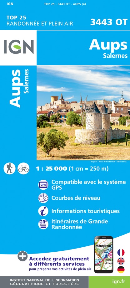
3443OT - AUPS SALERNES
Editor : IGN
Collection : TOP 25 ET SÉRIE BLEUE
Scale : 1:25 000
13.90€
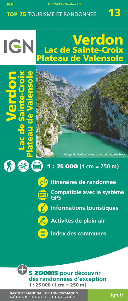
TOP75013 - VERDON LAC DE SAINTE-CROIX PLATEAU DE VALENSOLE
Editor : IGN
Collection : TOP 75
Scale : 1:75 000
9.80€

VEL06 - LE VAR A VELO
Editor : IGN
Collection : DECOUVERTE A VELO
Scale : 1:110 000
9.10€

TOP100D83 - VAR TOULON FRÉJUS MASSIFS DES MAURES ET DE L'ESTEREL PARC NATUREL RÉGIONAL DU VERDON
Editor : IGN
Collection : TOP 100
Scale : 1:100 000
8.40€

TOP100D06 - ALPES-MARITIMES NICE CÔTE D'AZUR PARC NATIONAL DU MERCANTOUR PNR DES PRÉALPES D'AZUR
Editor : IGN
Collection : TOP 100
Scale : 1:100 000
8.40€

D83 VAR
Editor : IGN
Collection : CARTES DÉPARTEMENTALES IGN
Scale : 1:150 000
5.90€

D04-05 ALPES-DE-HAUTE-PROVENCE HAUTES-ALPES
Editor : IGN
Collection : CARTES DÉPARTEMENTALES IGN
Scale : 1:150 000
5.90€

D06 ALPES-MARITIMES
Editor : IGN
Collection : CARTES DÉPARTEMENTALES IGN
Scale : 1:150 000
5.90€

NR16 PROVENCE-ALPES-CÔTE D'AZUR
Editor : IGN
Collection : CARTES RÉGIONALES IGN
Scale : 1:250 000
6.80€

EUROPE
Editor : IGN
Collection : DÉCOUVERTE DES PAYS DU MONDE IGN
Scale : 1:2 500 000
7.00€
What to visit in CAMPING SAINT LAZARE
See more suggestionsWalk along the picturesque streets of CAMPING SAINT LAZARE.
See more suggestions


Where to eat in CAMPING SAINT LAZARE
See more suggestionsChefs in CAMPING SAINT LAZARE will delight you.
See more suggestions


")


Where to sleep in CAMPING SAINT LAZARE
See more suggestionsEnjoy your stay with accommodations in CAMPING SAINT LAZARE.
See more suggestions


