Alert
Alerts
The Scree of the lake
Description
This loop is dedicated to lovers of wide open spaces where wild nature is everywhere: stunning landscapes, varied trails and breathtaking views over the lake of Montmeyan.
CROSSED TOWNS: Montmeyan, Régusse, Artignosc-sur-Verdon
START OF THE TRACK
Stadium-cemetery car park at the roundabout, signposted "D 30 La Verdière".
MARKINGS: ORANGE
Take the Gabre path for 1.5 km ( asphalt road), and enjoy! It's all downhill.
As soon as you reach the unpaved track, turn right along the field and cross the oak forest for about 2 km to reach the main track.
This track can be enjoyed in hot weather, as it is fairly enclosed by vegetation and quite wild. Remember to keep your head down, as the branches are low and the terrain a little tricky.
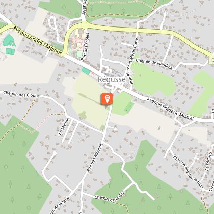
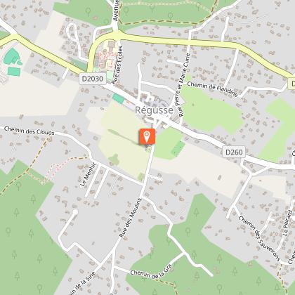
Then turn left and continue for 2 km as far as the directional arrow post "LES HUSSARDS n°274", then head for Régusse. The rest of your journey is fairly straightforward. You'll be on small, fairly smooth paths until you reach the Régusse road.
Turn right to reach the "LES MOULINS n°251" signpost and continue towards "Montmeyan Village".
As you pass, admire the two Régusse mills, dating from the end of the 15th century.
Continue straight on towards the centre of the village. At the "LES CLAUS n°252" signpost, turn left in the direction of "Montmeyan Village". There is approximately 1.7 km of asphalt.
Go down the rue des Écoles to the roundabout, then head towards the Saint-Jean quarter. Be careful with your calves, it's slightly uphill.
At the end of the residential area, at the "SAINT-JEAN n°253" signpost, follow the signs for "Artignosc Village". Leave the asphalt behind and get back into the swing of things on this fairly easy path, which alternates between ascents and descents and has no difficulties over a distance of just over 4 km, as far as the "FONTAYNE n°279" signpost.
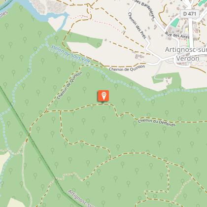
Follow the signs for "Artignosc Village". On the way, don't forget to stop and admire the Domaine de Pampelonne fountain. After crossing the D7, zigzag through the trees of the small Sainte-Euphémie wood for about 2 km. At the "LA GARENE n°266" signpost, turn left towards "Artignosc Village". Go downhill with small obstacles for 1.3 km. Be careful crossing the D471!
At the top of the climb, turn left onto the road that runs parallel to the dead-end road.
At the "JAUBIN n°265" signpost, turn left towards "Montmeyan Village".
Be careful: a good stony downhill section followed by a steep slope immediately afterwards! Get your calves ready. 800 m after this arrow post, turn right and enjoy this steep path, with numerous obstacles (streams and rocks). Remember to follow the signs.
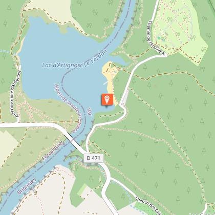
Continue along this path for 2 km before reaching the "CENDRUA n°268" signpost. Follow the signs for "Montmeyan Village" and you're off for almost 2 km of downhill on a stony track with panoramic views over the lake of Montmeyan and the surrounding hills.
At the end of the descent, you pass the lake and come to the signpost "L'ESCOURCHE n°269". Turn left and continue on the D 13 for 700 m. Keep to the right for safe driving.
At the "COCNILLET n°270" signpost, continue towards "Montmeyan Village" and enjoy this 7 km trail of varied landscapes and surfaces. Watch out for the false flat, as your thighs may sting a little. Take heart, there's still 1 km to go to the finish.
Technical Information
Altimetric profile
Starting point
Steps
Points of interest


Additional information
Distinctions
Listed PDIPR
Updated by
Provence Verte & Verdon Tourisme - 25/06/2026
www.provenceverteverdon.fr
Report a problem
Environments
Lakeside or by stretch of water
Riverside
Forest location
Lake view
Mountain view
Waterside
Panoramic view
Open period
All year round daily.
Subject to opening of forest areas.
Contact
Phone :
112
04 94 77 20 01
Email : barjols@provenceverteverdon.fr
Website :
https://sportnature.var.fr/randonnee-vtt/le-pierrier-du-lac/
https://www.var.gouv.fr/Actions-de-l-Etat/Foret/Fermeture-des-massifs-en-ete/Fin-de-publication-de-la-carte-d-acces-aux-massifs
Location complements
Start / Finish: stadium - cemetery car park at the roundabout, signposted "D 30 La Verdière".
Type of land
Stone
Ground
Hard coating (tar, cement, flooring)
Not suitable for strollers
Tricky passages
This track is considered medium.
Animals
No
Data author
