Tours
Activities
Places of interest
Where to eat
Where to sleep

Camping chez l'habitant Le Pont du Bas: Discover Fresse

Are you the owner?
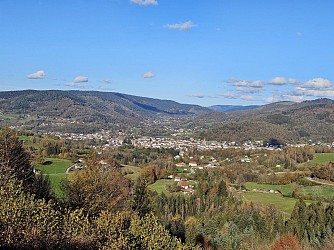
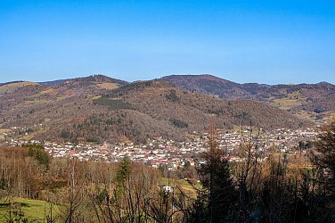
Welcome to Camping chez l'habitant Le Pont du Bas, your gateway to an unforgettable adventure in Fresse, situated in the stunning region of Haute-Saône, Franche-Comté. Nestled amidst landscapes where nature thrives, you can start with a hike through the Château-Lambert forest, known for its picturesque trails and breathtaking views. For those interested in history and culture, the Musée de la Mont...See more

Walking around CAMPING CHEZ L'HABITANT LE PONT DU BAS

See more suggestions
Hiking trails in the CAMPING CHEZ L'HABITANT LE PONT DU BAS area.
See more suggestions
Family walk - Ponds circuit starting from the pond Étang Noir
13 km

Family walk - Ponds circuit starting from the pond Étang Noir

Circuit des Etangs from the Etang Noir (Municipality of Ramonchamp). Duration: 2h. Difficulty: easy (family walk with children). Lenght: 5 kilometers. Elevation: +54 meters. Signposting: blue ring on a round-trip. Places of interest: viewpoint of the Etang Noir, wild landscapes of the Noirs Etangs and the Etang de la Peau, wooden footbridge and peat bog of the Etang de la Chaussée Pingant. Departure: Etang Noir car park. Access: From Le Thillot, follow the road towards Lure and Servance. At the top of the Col des Croix, turn right onto the D57 for 4 kilometers. Description of the route: From the car park, take the path on the left which runs along the pond and follow the direction "Sentier des Etangs" blue ring markings. After 50 meters, pass over a belvedere protected by wooden barriers. Continue on this path, you walk along the Etang Noir before crossing the road. When you get to the road, turn left, continuing for 30 meters, then take the path to the right in the forest, following the blue ring markings. Cross the blue bridge and continue on this path for about 300 meters. Once again on the road, cross it and take the path opposite the blue ring markings. Continue for 50 meters then turn right, still following the same blue ring markings. You pass at a place called "Les Noirs Etangs" whose name is indicated on a sign at the edge of the footpath. At the crossroads, still follow the direction "Sentier des Etangs" blue ring markings. Walk along the dry pond then at the end of the path, take the path opposite the blue ring markings. Do not turn right onto the asphalt road. Pass by a private pond and house on the left. The land is fenced. Arrived at the end of this private pond, you come out on a pond called "Etang de la Chaussée Pingant". Take the blue ring signposted path to the right. Cross the bridge which leads to a pretty chalet with picnic table open all year round. Possibility of fishing on site (fishing license compulsory). Head to the right behind the chalet, follow the sign "Sentier des Etangs" signposted blue ring and walk along the bog. Continue the walk following the direction "direction advised". Find another pond on your right with a chalet. Walk along it following the blue ring markings. When you arrive at a new pond (large house) called "Etang de la Peau", turn right then walk along this pond via the path to join a forest path before turning right, follow the blue ring markings and head to the Étang de la Chaussée Pingant (cottage, bridge) that you saw on the way there. All you have to do is retrace your steps along the charming path you took on the way there to finish the walk and return to the starting point.

2 h
5 km
Easy
88160 RAMONCHAMP
Show
Family hike at the Ballon d'Alsace
14 km

Family hike at the Ballon d'Alsace

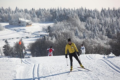
Take advantage of the quietness of the forest and the amazing views during this hike that will offer you all the charms of the Ballon d'Alsace, highest point of the southern Vosges. Warning: this walk passes through the protected area of the Ballons Comtois Nature Reserve, dogs are forbidden, even on a leash. Duration: 2h - Length: 6 km - Elevation: +140 m - Markings: Yellow point - Red rectangle - Blue ring - Red point. Access: National 66, at the tourist office of St Maurice sur Moselle take the D486 which is just opposite and go up to the top of the pass. Departure: Maison du Tourisme at the top of the Col du Ballon d'Alsace. Route: - From the car park of the Maison du tourisme, go towards the forest behind the monument "L'Homme projeté" by following the path between the chalet dedicated to cross-country skiing and the sign "Réserve naturelle des Ballons Comtois" (yellow point/red rectangle GR5). - Pass in the forest - At the first crossing (after the board "Forêt Domaniale du Ballon d'Alsace"), turn right and follow the blue ring markings "Chemin Colas". At the crossroads 30m further on, turn right again following the same marks: "Ballon d'Alsace 1h30 par le Chemin Colas - Jumenterie 0h45". - Follow this path for about 1km. Look at the Ballon de Servance on your left, which is characterized by its antenna at its top. - You arrive at a small cleared area bordering the road. Follow the path which leads up on the right (blue ring "Jumenterie") - Go up during almost 200m on this rather steep short part, it leads to the cow park in which you pass. - Cross the field and then follow the road, staying in the meadow until you reach the building in front of you (the "Jumenterie"). - Cross the road, pass in front of the building and go along on its right side following the path (red point, direction "Sommet du Ballon") - You arrive at a small chalet (the red point is on its left side). You can have a break at the picnic table and the look at the cows (depending on the season). - The picnic table in your back , take the uphill path that goes under the ski lift. - Leave the cow park by following the path, continue for about 600m, through the forest and the blueberries. - When you reach the clearing, follow the path that leads along the meadow on your right. Depending on the weather and the season, you may see horses. - You can reach the path on your left "le Sentier Découverte" that lead up to the statue of Jeanne d'Arc. Otherwise turn right and reach your starting point. IGN map reference 3520 OT available in the tourist offices. The GPX route and the description in french of the walk are downloadable above.

2 h
6 km
Easy
Route du Ballon d'Alsace Ballon d'Alsace 88560 SAINT MAURICE SUR MOSELLE
Show
Family walk - Frac pond circuit
14 km

Family walk - Frac pond circuit

Circuit of Frac Pond (Municipality of Fresse-sur-Moselle). Duration: approximately 1 to 2 hours. Difficulty: easy (family walk with children). Lenght: 2 kilometers (long version 4km). Elevation : +47 meters or +101 meters. Markings: red ring, end of the unmarked walk. Places of interest: Etang du Frac and panorama of Col de Couard. Departure: Etang du Frac car park. Access: when you arrive in Fresse-sur-Moselle from Le Thillot, take the first road on the right after the restaurant "Le Mandarin de Chine". Cross the bridge over the Moselle and follow the direction "Etang du Frac". Description of the route: From the car park near the chalet, return to the tarmac road for about 50 meters. Walk towards the path below the pond. Path along the forest and not the path along the pond. Follow the markup red ring indication "Notre-Dame de Fresse". At the 1st intersection, continue to the left following the red ring markings, mountain bike n ° 1. Follow this path which climbs for about 300 meters. Arrived at the top of the path, at a crossroads: you will discover on the path of left at 50 meters the chalet de la Vierge (closed chalet) equipped with a table and benches outside for a break. Then retrace your steps to continue the walk. If you wish to extend the walk ... You can go up to "Notre-Dame de Fresse" also called Vierge des Breuleux by the path on your left (200 meters return) in 10 barely minutes. The statue of the Virgin is in a small cave and offers a nice point of view. To continue the walk, continue on the path straight ahead, following the red ring markings towards the "Col de Couard". At the intersection, continue on the right path following the red ring markings. Continue for about 300 meters, you will overlook the Frac pond and an isolated farm. You might see donkeys and goats in their parks. Continue on this path for another 100 meters to the Col de Couard from where a nice view unfolds over the massifs. For those who wish to extend the walk, it is possible to reach the "Croix de Couard" where you can admire a breathtaking view of the village of Fresse-sur-Moselle. To do this, follow the path with the "Croix de Couard" red ring markings. 2km, 1 hour round trip. For others, take the right path for 100 meters mountain bike markings n ° 1, you will follow the other side of the farm with its animals. Below, turn right with the red ring markings then continue for 50 meters and you will arrive behind the Michel Laurent chalet. Break possible at the chalet.

1 h
2 km
Easy
chemin de l'étang Etang du Frac 88160 FRESSE SUR MOSELLE
Show
Trail route n° 7 - Les Hautes Mynes
14 km

Trail route n° 7 - Les Hautes Mynes

Length of the route: 17.76 km – Elevation gain: 710 m – Duration: 2 to 4 hours – Markings: Trail sign n° 7 blue + Club Vosgien sign – Level: Medium. Start: Museum Les Hautes Mynes car park. Remember that in the mountains, you are always on someone’s land and they are merely tolerating your presence. On this route, you may come across the landowner’s dogs in the Pré Martin area. The route begins with a easy crossing of the Thillot, ideal for warming up before the first challenging climb through the woods towards Chaillon, up to the shelter at the Pic des Corbeaux. A short optional detour leads to the summit, offering a great view of the Haute-Moselle valley and much of the route. The descent takes you through the forest to Fresse, before a quick crossing of the valley. The second climb begins, heading towards the Frac pond, then on to the Col de Couard, along beautiful forest paths. The return route takes you through the historic site of Les Hautes-Mynes. A unique crossing that plunges you into the heart of local history from the era of the Dukes of Lorraine. The final stretch, through a hilly forest, requires one last effort and leads to the Vierge des Neiges, before descending to Le Thillot via Pré Martin, to return to the starting point of this varied and immersive loop. The routes on your smartphone... All the routes of the Espace Trail des Ballons des Vosges are available free of charge on your smartphone thanks to the Trail Connect app in the ‘Destinations à découvrir’ (Destinations to discover) section. GPX and PDF files of the tour can be downloaded below.

2 h
18 km
Medium
47 rue de la gare 88160 LE THILLOT
Show

What to do in CAMPING CHEZ L'HABITANT LE PONT DU BAS

See more suggestions
Choose from a variety of activities in CAMPING CHEZ L'HABITANT LE PONT DU BAS and book your favorites.
See more suggestions
Comprehensive Strasbourg rickshaw tour - 1 hr 20 mins
121 km

Comprehensive Strasbourg rickshaw tour - 1 hr 20 mins

Enjoy this guided rickshaw tour to discover all of Strasbourg! Your driver and tour guide will let you in on the city's secrets! Rickshaws are a unique way to get around and see all the key sites of Strasbourg in just 1 hour and 20 minutes! Your driver will do the pedalling while you enjoy the city's key sites. Once you are comfortably seated on your rickshaw, you will start your tour by discovering the Palais Rohan. This magnificent monument with a classical façade has been classified as a historic monument. In 2009, it opened its doors to the most powerful world leaders on a NATO summit. You will then be taken to the Place Broglie to marvel at Strasbourg's stunning opera house. You will be captivated by its neoclassical façade, which has been classified as a historic monument! Your visit will continue with the Place de la République, where you will admire the relics of German architecture. This stunning square is home to the German imperial district's most iconic monuments. You will then enter into the heart of the German neighbourhood to discover its Haussmann-style avenues, the European sites and the Orangerie district. You will also get a glimpse at the headquarters of the French-German cultural TV channel: Arte.   Your tour will end by a ride through the "Petite-France" neighbourhood, at the heart of the old town. Marvel at typical half-timbering houses built right above the water. You will enjoy an exceptional scenic view on the terrace of the Barrage de Vauban. Let this quaint neighbourhood - which is a UNESCO World Heritage Site - captivate you! Pick this tour and visit all the key places of Strasbourg in an unusual and pleasant way!

Book from 90 EURBook
Show

IGN cards

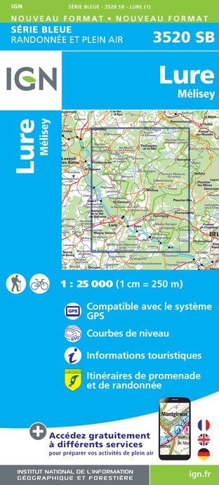
3520SB - LURE MÉLISEY
Editor : IGN
Collection : TOP 25 ET SÉRIE BLEUE
Scale : 1:25 000
13.90€
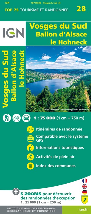
TOP75028 - VOSGES DU SUD BALLON D'ALSACE LE HOHNECK
Editor : IGN
Collection : TOP 75
Scale : 1:75 000
9.80€
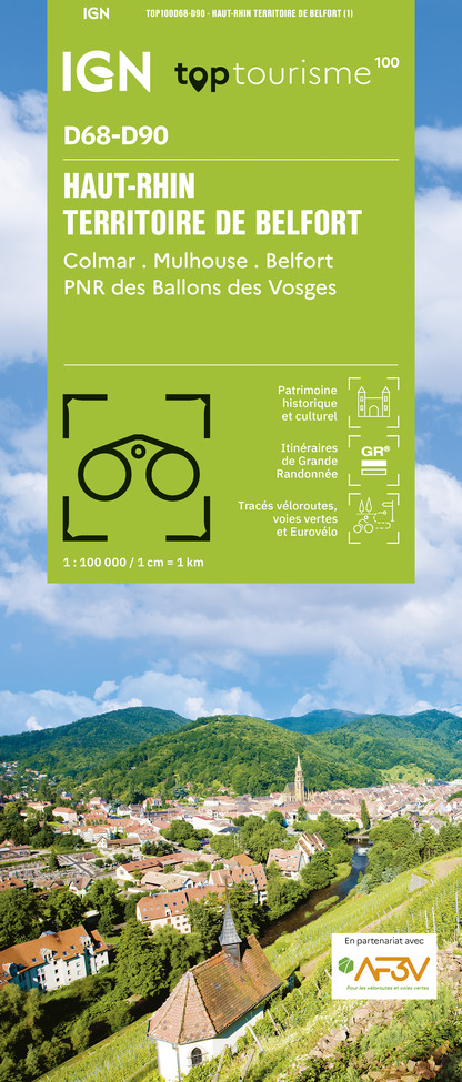
TOP100D68 - HAUT-RHIN TERRITOIRE DE BELFORT COLMAR MULHOUSE BELFORT PNR DES BALLONS DES VOSGES
Editor : IGN
Collection : TOP 100
Scale : 1:100 000
8.40€
130 VESOUL LANGRES VALLÉE DE LA SAÔNE
Editor : IGN
Collection : TOP 100
Scale : 1:100 000
8.40€
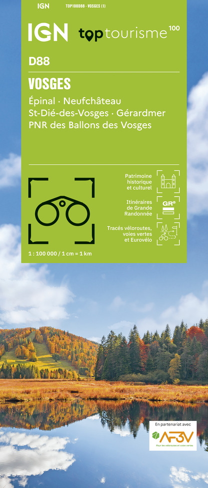
TOP100D88 - VOSGES ÉPINAL NEUFCHÂTEAU ST-DIÉ-DES-VOSGES GÉRARDMER PNR DES BALLONS DES VOSGES
Editor : IGN
Collection : TOP 100
Scale : 1:100 000
8.40€
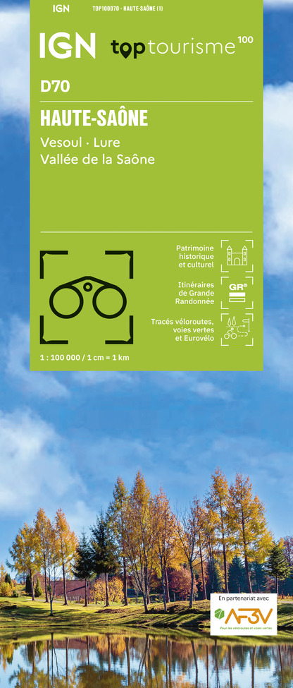
TOP100D70 - HAUTE-SAÔNE VESOUL LURE VALLÉE DE LA SAÔNE
Editor : IGN
Collection : TOP 100
Scale : 1:100 000
8.40€
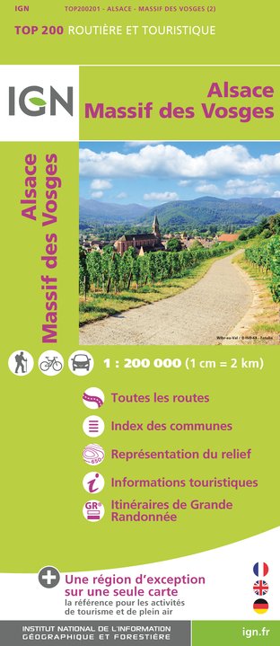
201 ALSACE MASSIF DES VOSGES
Editor : IGN
Collection : TOP 200
Scale : 1:200 000
6.80€
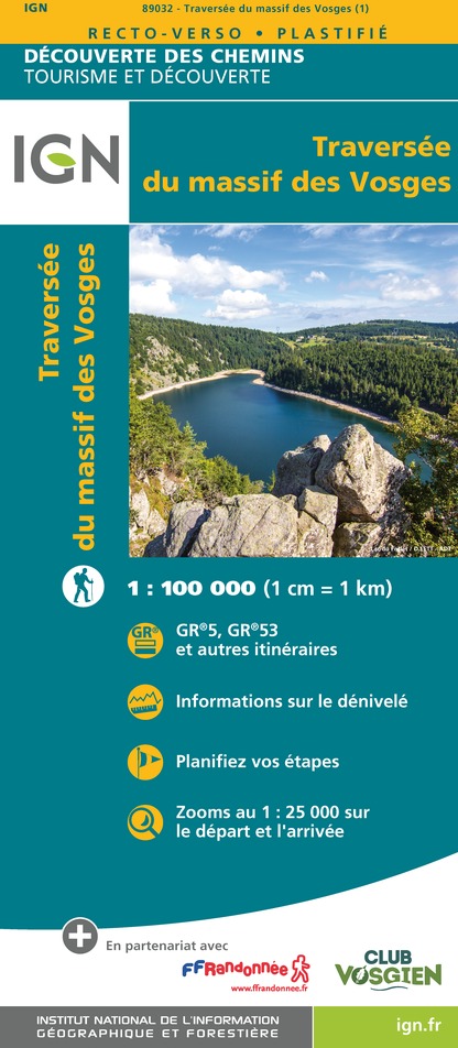
89032 - LA TRAVERSEE DES VOSGES
Editor : IGN
Collection : DECOUVERTE DES CHEMINS
Scale : 1:100 000
9.10€
89026 - GRANDES TRAVERSÉES DU JURA - GTJ
Editor : IGN
Collection : DECOUVERTE DES CHEMINS
Scale : 1:105 000
9.10€
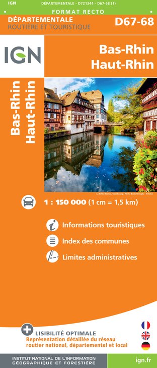
D67-68 BAS-RHIN HAUT-RHIN
Editor : IGN
Collection : CARTES DÉPARTEMENTALES IGN
Scale : 1:150 000
5.90€
D70-88-90 HAUTE-SAÔNE VOSGES TERRITOIRE DE BELFORT
Editor : IGN
Collection : CARTES DÉPARTEMENTALES IGN
Scale : 1:150 000
5.90€
NR09 BOURGOGNE FRANCHE-COMTÉ
Editor : IGN
Collection : CARTES RÉGIONALES IGN
Scale : 1:250 000
6.80€

SUISSE
SUISSE
Editor : IGN
Collection : DÉCOUVERTE DES PAYS DU MONDE IGN
Scale : 1:303 000
7.00€

EUROPE
EUROPE
Editor : IGN
Collection : DÉCOUVERTE DES PAYS DU MONDE IGN
Scale : 1:2 500 000
7.00€

ALLEMAGNE
ALLEMAGNE
Editor : IGN
Collection : DÉCOUVERTE DES PAYS DU MONDE IGN
Scale : 1:800 000
7.00€

What to visit in CAMPING CHEZ L'HABITANT LE PONT DU BAS

See more suggestions
Enjoy the green spaces of CAMPING CHEZ L'HABITANT LE PONT DU BAS.
See more suggestions
Statue de Jeanne D'arc à cheval
14 km

Statue de Jeanne D'arc à cheval

hanks to a donation from the Saint-Amé industrialist Napoléon Marchal, an equestrian statue of Joan of Arc, sculpted by Mathurin Moreau, was erected on the north-western summit of the Ballon. Originally, the plan had been to install it on the Rocher des Evaux, overlooking the Charbonniers valley on the western slope. However, access to the site proved impossible for such a sculpture. It was unveiled on 19 September 1909 in the presence of a crowd of several thousand people. It took three pairs of oxen to haul the three-tonne statue from Saint-Maurice-sur-Moselle up to this height. It was therefore finally placed on the Chaume de la Jumenterie, still overlooking the Charbonniers valley, but on the eastern slope. Mathurin Moreau, a fervent patriot, intended to issue a challenge to Prussia, which had annexed Lorraine, and thus to comfort the hearts of the many Lorrainers and Alsatians who had come to settle in the Moselle valley following the defeat of 1871. Joan of Arc was then looking towards France, seemingly calling on the motherland to come and liberate the lost provinces. When this was achieved in 1918, the statue was turned back towards the east, no longer towards the “hereditary enemy”, but towards a united and finally peaceful Europe. Moved to mark its 50th anniversary, the statue was struck by lightning. After being repaired in Saint-Maurice-sur-Moselle, it was returned to its original location at an altitude of 1,242 metres, still facing towards Germany.

Sommet du Ballon d'Alsace 88560 SAINT MAURICE SUR MOSELLE
Show

Where to eat in CAMPING CHEZ L'HABITANT LE PONT DU BAS

See more suggestions
Establishments in CAMPING CHEZ L'HABITANT LE PONT DU BAS offer dishes for all tastes.
See more suggestions

Where to sleep in CAMPING CHEZ L'HABITANT LE PONT DU BAS

See more suggestions
Choose a comfortable accommodation in CAMPING CHEZ L'HABITANT LE PONT DU BAS.
See more suggestions
Caution!
We have no information on the difficulty of this circuit. You may encounter some surprises along the way. Before you go, please feel free to inquire more and take all necessary precautions. Have a good trip! 🌳🥾