Alert
Alerts
Trail route n° 7 - Les Hautes Mynes
Description
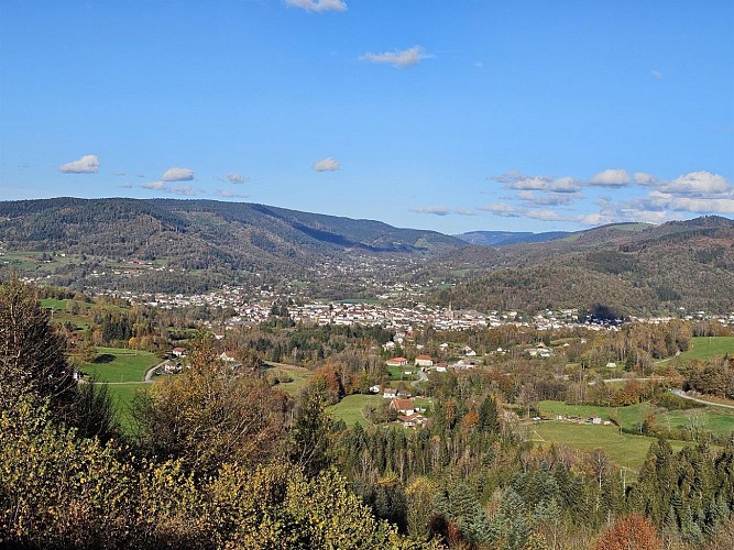
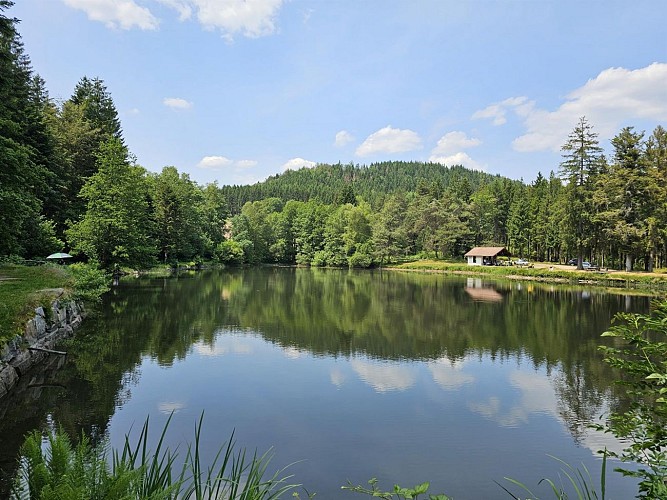
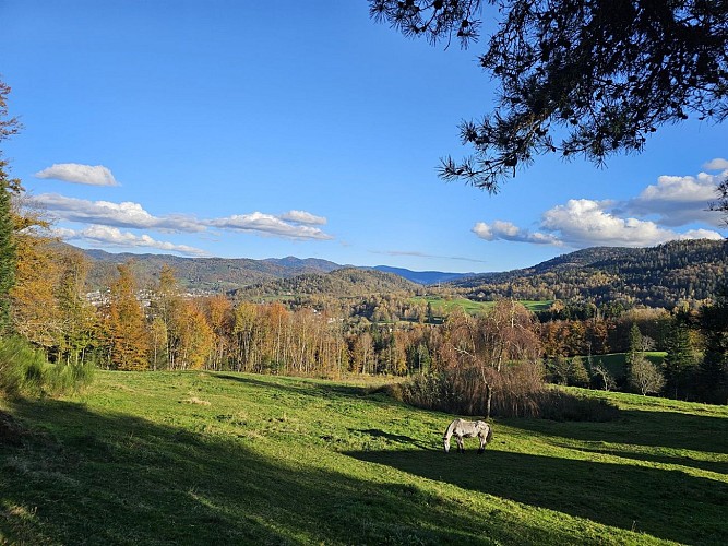
Length of the route: 17.76 km – Elevation gain: 710 m – Duration: 2 to 4 hours – Markings: Trail sign n° 7 blue + Club Vosgien sign – Level: Medium. Start: Museum Les Hautes Mynes car park. Remember that in the mountains, you are always on someone’s land and they are merely tolerating your presence. On this route, you may come across the landowner’s dogs in the Pré Martin area. The route begins with a easy crossing of the Thillot, ideal for warming up before the first challenging climb through the woods towards Chaillon, up to the shelter at the Pic des Corbeaux. A short optional detour leads to the summit, offering a great view of the Haute-Moselle valley and much of the route. The descent takes you through the forest to Fresse, before a quick crossing of the valley. The second climb begins, heading towards the Frac pond, then on to the Col de Couard, along beautiful forest paths. The return route takes you through the historic site of Les Hautes-Mynes. A unique crossing that plunges you into the heart of local history from the era of the Dukes of Lorraine. The final stretch, through a hilly forest, requires one last effort and leads to the Vierge des Neiges, before descending to Le Thillot via Pré Martin, to return to the starting point of this varied and immersive loop. The routes on your smartphone... All the routes of the Espace Trail des Ballons des Vosges are available free of charge on your smartphone thanks to the Trail Connect app in the ‘Destinations à découvrir’ (Destinations to discover) section. GPX and PDF files of the tour can be downloaded below.
Technical Information
Altimetric profile
Starting point
Additional information
Producteur de la donnée
Ces informations sont issues de la plateforme SITLOR - Système d’Information Touristique - Lorraine
Elles sont synchronisées dans le cadre du partenariat entre Cirkwi, l’Agence régionale du Tourisme Grand Est et les membres du comité technique de Sitlor.
Contact
Email : xvaldenaire@gmail.com
Site web : espacestrail.run/ballonsdesvosges
