Alert
Alerts
Trail route n° 12 - Le tour des Crêtes
Description
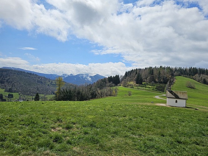
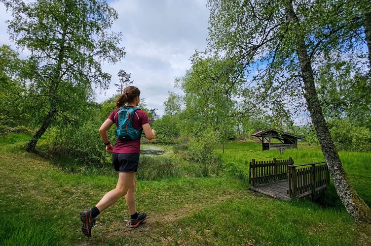
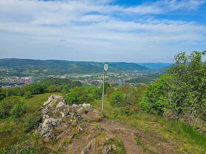
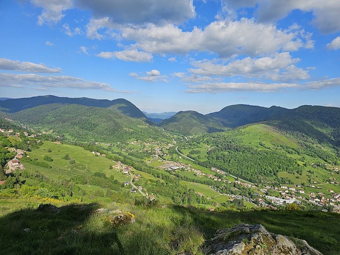
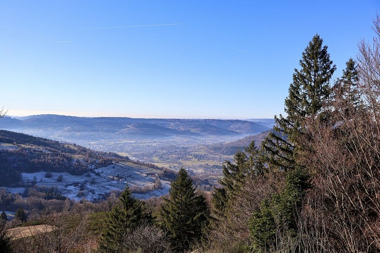
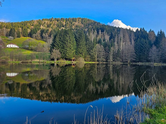
Length of the route: 30.75 km – Elevation gain: 1250 m – Duration: 3 hours 30 minutes to 7 hours – Markings: Trail n°12 red sign + Club Vosgien sign – Level: Difficult. Start: Hautes-Mynes Museum car park. Remember that in the mountains, you are always on someone’s land and they are merely tolerating your presence; on this route, you may come across the landowner’s dogs in the Pré Martin area. This route between Le Thillot and Saint-Maurice-sur-Moselle offers a magnificent long walk in the heart of the Upper Moselle, providing the opportunity to discover several of the region’s must-see sites. You’ll pass through the Chaillon area, the Chapelle des Vés, the Pic des Corbeaux, the Hauts de la Lochère, the Chalet and the Croix de Fresse, the Borne des 3 communes, the Longeligoutte area and its shelter, the historic site of the Hautes-Mynes, the Vierge des Neiges and the Pré Martin. A very hilly route that skilfully combines steep climbs and fast descents, ideal for working on your acceleration whilst racking up a decent elevation gain by the end of the trail The routes on your smartphone... All the routes of the Espace Trail des Ballons des Vosges are available free of charge on your smartphone thanks to the Trail Connect app in the ‘Destinations à découvrir’ (Destinations to discover) section. GPX and PDF files of the tour can be downloaded below.
Technical Information
Altimetric profile
Starting point
Additional information
Producteur de la donnée
Ces informations sont issues de la plateforme SITLOR - Système d’Information Touristique - Lorraine
Elles sont synchronisées dans le cadre du partenariat entre Cirkwi, l’Agence régionale du Tourisme Grand Est et les membres du comité technique de Sitlor.
Contact
Email : xvaldenaire@gmail.com
Site web : espacestrail.run/ballonsdesvosges
