Tours
Activities
Places of interest
Where to eat
Where to sleep
Uncover Les Planes at Laroque-des-alberes in the heart of the Pyrénées-Orientales
Are you the owner?Les Planes at Laroque-des-alberes invites you to fully immerse yourself in the nature and culture of the Pyrénées-Orientales. Begin with a hike in the Albères Massif, where trails offer breathtaking views of the Mediterranean and the foothills of the Pyrenees. Discover the charm of Laroque-des-alberes with its picturesque streets, Romanesque church, and medieval castle. Don’t miss out on visiting ...See more


What to do in LES PLANES
See more suggestionsPlan a perfect day in LES PLANES with our bookable activities.
See more suggestions


IGN cards
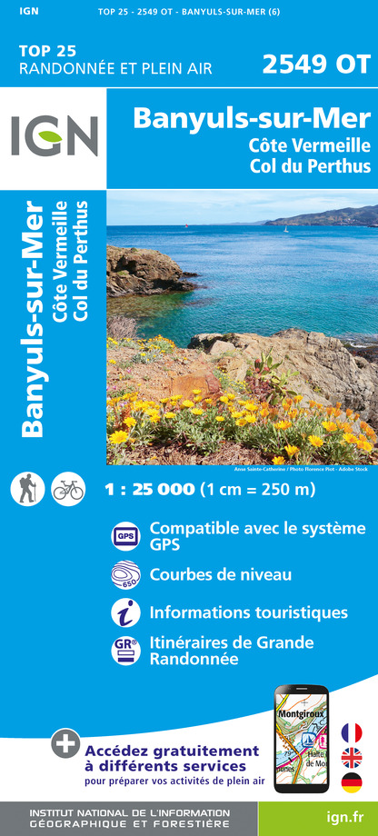
2549OT - BANYULS-SUR-MER CÔTE VERMEILLE - COL DU PERTHUS
Editor : IGN
Collection : TOP 25 ET SÉRIE BLEUE
Scale : 1:25 000
13.90€

TOP100D66 - PYRÉNÉES-ORIENTALES PERPIGNAN PRADES CÉRET CÔTE VERMEILLE PNR DES PYRÉNÉES CATALANES
Editor : IGN
Collection : TOP 100
Scale : 1:100 000
8.40€

89030 - TRAVERSEE DES PYRENEES GR10®
Editor : IGN
Collection : DECOUVERTE DES CHEMINS
Scale : 1:100 000
9.10€

D09-66 ARIÈGE PYRÉNÉES-ORIENTALES
Editor : IGN
Collection : CARTES DÉPARTEMENTALES IGN
Scale : 1:150 000
5.90€

EUROPE
Editor : IGN
Collection : DÉCOUVERTE DES PAYS DU MONDE IGN
Scale : 1:2 500 000
7.00€
What to visit in LES PLANES
See more suggestionsVisit the museums and galleries of LES PLANES.
See more suggestions


Where to eat in LES PLANES
See more suggestionsThe dining spots in LES PLANES have surprises in store.
See more suggestions


Where to sleep in LES PLANES
See more suggestionsExplore hostels and hotels in LES PLANES.
See more suggestions


