Tours
Activities
Places of interest
Where to eat
Where to sleep
Experience MAR I MUNT in Argeles-sur-mer
Are you the owner?Welcome to Argeles-sur-mer, a gem nestled between sea and mountains in the Pyrenees-Orientales. Staying at MAR I MUNT offers the perfect opportunity to explore a region rich in adventures and discoveries. Start your day with a stroll along the fine sandy beaches where the Mediterranean stretches as far as the eye can see. Hiking enthusiasts will be delighted by the trails of the Albères massif, of...See more
Walking around MAR I MUNT
See more suggestionsExplore the walking circuits of MAR I MUNT.
See more suggestions")
")
")


")


")
What to do in MAR I MUNT
See more suggestionsFind bookable activities in MAR I MUNT for an unforgettable experience.
See more suggestions


IGN cards
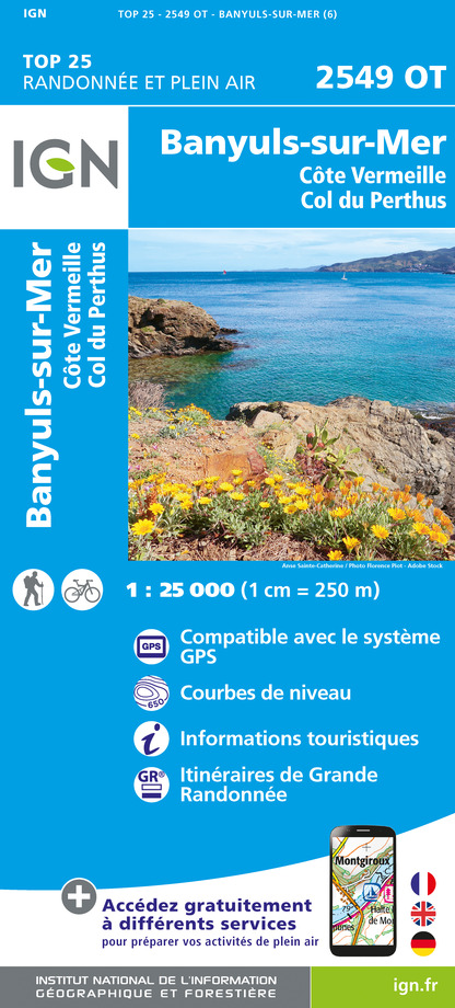
2549OT - BANYULS-SUR-MER CÔTE VERMEILLE - COL DU PERTHUS
Editor : IGN
Collection : TOP 25 ET SÉRIE BLEUE
Scale : 1:25 000
13.90€

TOP100D66 - PYRÉNÉES-ORIENTALES PERPIGNAN PRADES CÉRET CÔTE VERMEILLE PNR DES PYRÉNÉES CATALANES
Editor : IGN
Collection : TOP 100
Scale : 1:100 000
8.40€

89030 - TRAVERSEE DES PYRENEES GR10®
Editor : IGN
Collection : DECOUVERTE DES CHEMINS
Scale : 1:100 000
9.10€

D09-66 ARIÈGE PYRÉNÉES-ORIENTALES
Editor : IGN
Collection : CARTES DÉPARTEMENTALES IGN
Scale : 1:150 000
5.90€

EUROPE
Editor : IGN
Collection : DÉCOUVERTE DES PAYS DU MONDE IGN
Scale : 1:2 500 000
7.00€
What to visit in MAR I MUNT
See more suggestionsSavor the local cuisine of MAR I MUNT.
See more suggestions


Where to eat in MAR I MUNT
See more suggestionsRestaurants in MAR I MUNT will captivate you.
See more suggestions


Where to sleep in MAR I MUNT
See more suggestionsBook your stay at one of MAR I MUNT's accommodations.
See more suggestions


")