Tours
Activities
Places of interest
Where to eat
Where to sleep
Discover the best of Argeles-sur-Mer at M Vacances le Club
Are you the owner?Welcome to Argeles-sur-Mer, a jewel of Languedoc-Roussillon nestled at the foot of the majestic Pyrénées-Orientales. Known for its picturesque scenery between sea and mountains, this charming part of France offers a plethora of activities to enrich your stay with local flavors and cultures.
Start by exploring the golden sandy beaches of this seaside resort. Enjoy the pleasures of the Mediterranea...See more
Start by exploring the golden sandy beaches of this seaside resort. Enjoy the pleasures of the Mediterranea...See more
Walking around M VACANCES LE CLUB
See more suggestionsExplore the parks and paths of M VACANCES LE CLUB.
See more suggestions")


 Argelès - Cerbère")
 Argelès - Cerbère")
")


![[Connection] Argelès-sur-Mer Tourist Office / Château de Valmy](https://fichier0.cirkwi.com/image/photo/circuit/380x250/474783/fr/0.jpg?1765584671 "[Connection] Argelès-sur-Mer Tourist Office / Château de Valmy")
What to do in M VACANCES LE CLUB
See more suggestionsOrganize your days in M VACANCES LE CLUB with bookable activities for the whole family.
See more suggestions


IGN cards
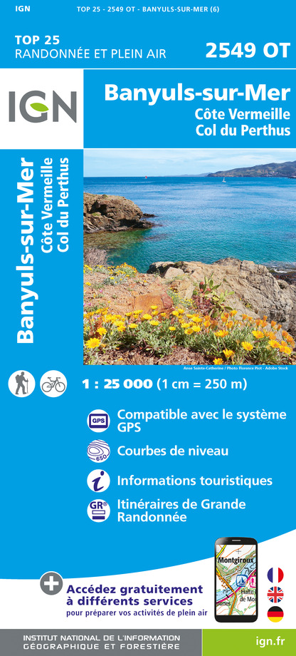
2549OT - BANYULS-SUR-MER CÔTE VERMEILLE - COL DU PERTHUS
Editor : IGN
Collection : TOP 25 ET SÉRIE BLEUE
Scale : 1:25 000
13.90€

TOP100D66 - PYRÉNÉES-ORIENTALES PERPIGNAN PRADES CÉRET CÔTE VERMEILLE PNR DES PYRÉNÉES CATALANES
Editor : IGN
Collection : TOP 100
Scale : 1:100 000
8.40€

89030 - TRAVERSEE DES PYRENEES GR10®
Editor : IGN
Collection : DECOUVERTE DES CHEMINS
Scale : 1:100 000
9.10€

D09-66 ARIÈGE PYRÉNÉES-ORIENTALES
Editor : IGN
Collection : CARTES DÉPARTEMENTALES IGN
Scale : 1:150 000
5.90€

EUROPE
Editor : IGN
Collection : DÉCOUVERTE DES PAYS DU MONDE IGN
Scale : 1:2 500 000
7.00€
What to visit in M VACANCES LE CLUB
See more suggestionsLearn the history of M VACANCES LE CLUB through its museums.
See more suggestions


Where to eat in M VACANCES LE CLUB
See more suggestionsDiscover the culinary diversity of M VACANCES LE CLUB.
See more suggestions


Where to sleep in M VACANCES LE CLUB
See more suggestionsStay near M VACANCES LE CLUB with our lodging options.
See more suggestions


")