Tours
Activities
Places of interest
Where to eat
Where to sleep
Discover Camping Le Lagon in Argeles-sur-mer
Are you the owner?Nestled in the beautiful region of Argeles-sur-mer, in the Pyrénées-Orientales, Camping Le Lagon presents the perfect blend of relaxation and adventure in the heart of Languedoc-Roussillon. Known for its golden beaches and Mediterranean vibe, it serves as a fantastic base for unforgettable holidays.
Nature lovers will be thrilled by the numerous hiking trails, such as the famous 'Massif des Albèr...See more
Nature lovers will be thrilled by the numerous hiking trails, such as the famous 'Massif des Albèr...See more
Walking around CAMPING LE LAGON
See more suggestionsHiking routes in CAMPING LE LAGON.
See more suggestions")

![[Connection] Argelès-sur-Mer Tourist Office / Château de Valmy](https://fichier0.cirkwi.com/image/photo/circuit/380x250/474783/fr/0.jpg?1765498365 "[Connection] Argelès-sur-Mer Tourist Office / Château de Valmy")


")
")


What to do in CAMPING LE LAGON
See more suggestionsThe best experiences in CAMPING LE LAGON are just a click away, book now.
See more suggestions


IGN cards
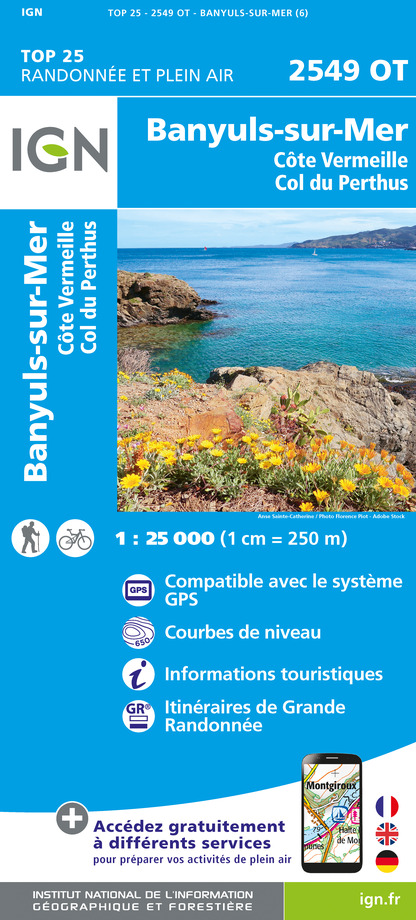
2549OT - BANYULS-SUR-MER CÔTE VERMEILLE - COL DU PERTHUS
Editor : IGN
Collection : TOP 25 ET SÉRIE BLEUE
Scale : 1:25 000
13.90€

TOP100D66 - PYRÉNÉES-ORIENTALES PERPIGNAN PRADES CÉRET CÔTE VERMEILLE PNR DES PYRÉNÉES CATALANES
Editor : IGN
Collection : TOP 100
Scale : 1:100 000
8.40€

89030 - TRAVERSEE DES PYRENEES GR10®
Editor : IGN
Collection : DECOUVERTE DES CHEMINS
Scale : 1:100 000
9.10€

D09-66 ARIÈGE PYRÉNÉES-ORIENTALES
Editor : IGN
Collection : CARTES DÉPARTEMENTALES IGN
Scale : 1:150 000
5.90€

EUROPE
Editor : IGN
Collection : DÉCOUVERTE DES PAYS DU MONDE IGN
Scale : 1:2 500 000
7.00€
What to visit in CAMPING LE LAGON
See more suggestionsAttend events organized in CAMPING LE LAGON.
See more suggestions


Where to eat in CAMPING LE LAGON
See more suggestionsEstablishments in CAMPING LE LAGON offer dishes for all tastes.
See more suggestions


Where to sleep in CAMPING LE LAGON
See more suggestionsChoose from a variety of lodgings in CAMPING LE LAGON.
See more suggestions


")