Alert
Alerts
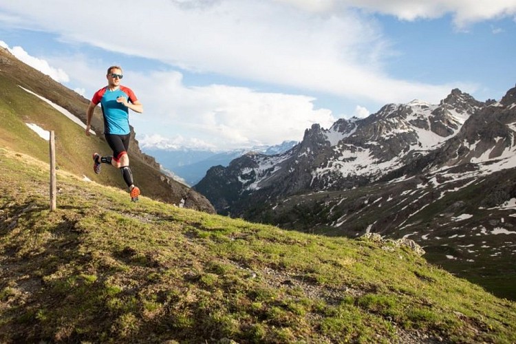
The Montbrison tour (trail route no. 13)
Description
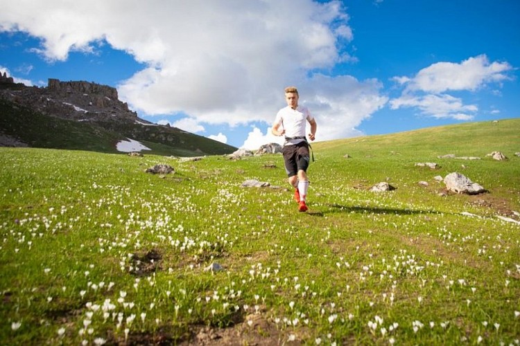
A splendid circuit around the Montbrison massif against a backdrop of pine forests, alpine pastures and cliffs, its high point being a stunning crossing over the Col de Vallouise.
From the Le Courounba campsite, head to the bridge spanning the Gyronde. Turn right as you exit the bridge.
Turn left after the restaurants and carry on along the Rif Cros mountain stream.
Fork left and cross the mountain stream. Follow the hairpin track and balcony traverse until you come to the hamlet of Le Bouchier. Carry on uphill.
Continue on the left-hand track to reach the Col de la Trancoulette.
At the Col de la Trancoulette start the descent to the left, taking the marked route on the south-facing side of the valley to return to Les Vigneaux and your starting point.
Technical Information
Altimetric profile
Starting point
Points of interest


Additional information
Public transport
Public transport >> www.pacamobilite.frconsider car-sharing >> www.blablacar.fr For more information, ask at the Tourist Information Office nearest to the trail starting point.
Advice
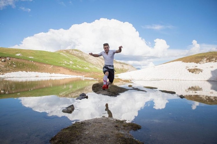
Before setting off, it is very important to check the opening periods for this route on the website: stationdetrail.com/fr/stations/le-pays-des-ecrins/parcours Share your photographs on social networks with #stationdetrailecrins Check weather conditions before setting off. Rescue services contact details: Secours Montagne (Mountain Rescue): +33 (0)4 92 22 22 22 or 112 Show consideration for the work of farmers, livestock keepers and owners Close all gates behind you Take your litter home Do not take shortcuts across pastureland The trail routes are also suitable for walking
Advised parking
Camping le Courounba car park, Les Vigneaux
Access
6 km from L'Argentière-La-Bessée, take the D994E.
Arrival
Camping le Courounba, Les Vigneaux
Ambiance
“This is a mega-itinerary. Of course, the highlight is the crossing over the Col de Vallouise, at the end of a long climb. A splendid descent through alpine pastures awaits us, before entering the forest again.” Marie-Geneviève Nicolas, park ranger at the Parc National des Écrins.
Departure
Camping le Courounba, Les Vigneaux
Data author
