Alert

Alerts

To see around
See more
Open
Close
Show
Show
Show
Show
Show
Show
Show
Show
Show
Show
Show

Oups... It would appear that Cirkwi does not have permission to use your location.

Presentation
Description
Map
Steps
Points of interest
Ratings and reviews
See around

Rando Bivouac et les Falaises du Margériaz - 2-day hike

Rando Bivouac et les Falaises du Margériaz - 2-day hike

IGN cards

3432OTR - MASSIF DES BAUGES RESISTANTE
Editor : IGN
Collection : TOP 25 RÉSISTANTE
Scale : 1:25 000
17.20€
3332OT - CHAMBERY AIX-LES-BAINS LAC DU BOURGET
Editor : IGN
Collection : TOP 25 ET SÉRIE BLEUE
Scale : 1:25 000
13.90€
3432OT - MASSIF DES BAUGES
Editor : IGN
Collection : TOP 25 ET SÉRIE BLEUE
Scale : 1:25 000
13.90€
TOP75032 - CHAINE DES ARAVIS - MASSIF DES BAUGES
Editor : IGN
Collection : TOP 75
Scale : 1:75 000
9.80€
VEL11 - LAC D'ANNECY ET LAC DU BOURGET A VELO
Editor : IGN
Collection : DECOUVERTE A VELO
Scale : 1:35 000
9.10€
TOP100D73 - SAVOIE CHAMBÉRY ALBERTVILLE PARC NATIONAL DE LA VANOISE PNR DU MASSIF DES BAUGES
Editor : IGN
Collection : TOP 100
Scale : 1:100 000
8.40€
TOP100D74 - HAUTE-SAVOIE ANNECY THONON-LES-BAINS MASSIF DU MONT BLANC CHAÎNE DES ARAVIS
Editor : IGN
Collection : TOP 100
Scale : 1:100 000
8.40€
202 JURA ALPES DU NORD
Editor : IGN
Collection : TOP 200
Scale : 1:200 000
6.80€
D38 ISÈRE
Editor : IGN
Collection : CARTES DÉPARTEMENTALES IGN
Scale : 1:150 000
5.90€
D01-69 AIN RHÔNE
Editor : IGN
Collection : CARTES DÉPARTEMENTALES IGN
Scale : 1:150 000
5.90€
NR15 AUVERGNE-RHÔNE-ALPES RECTO/VERSO MASSIF ALPIN
Editor : IGN
Collection : CARTES RÉGIONALES IGN
Scale : 1:250 000
6.80€
NR14 AUVERGNE-RHÔNE-ALPES RECTO/VERSO MASSIF CENTRAL
Editor : IGN
Collection : CARTES RÉGIONALES IGN
Scale : 1:250 000
6.80€
EUROPE
Editor : IGN
Collection : DÉCOUVERTE DES PAYS DU MONDE IGN
Scale : 1:2 500 000
7.00€
SUISSE
Editor : IGN
Collection : DÉCOUVERTE DES PAYS DU MONDE IGN
Scale : 1:303 000
7.00€

Description

After surveying the Margériaz cliffs, the exit at the top of the ridges offers a magnificent panorama of the Bauges and as far as Mont-Blanc. The old Baban hut, now restored as a bivouac site, promises a rustic evening.

Technical Information

Walking
Difficulty
Hard
Dist.
18 km
Show more

Altimetric profile

Starting point

Plainpalais - Parking du trou de l'agneau , 73230   Les Déserts
Lat : 45.645946Lng : 6.018545

Steps

Additional information

Contact

Phone :
04 79 54 86 40
04 79 54 63 65

Email :
info@parcdesbauges.com
accueil.lesaillons@chamberymontagnes.com

Website : http://www.parcdesbauges.com

Open period

From 01/06 to 30/09.

Subject to favorable snow and weather conditions.

Updated by

Agence alpine des territoires - 16/10/2025
www.agate-territoires.fr
Report a problem

Type of land

Stone
Ground
Not suitable for strollers

Topo guides and map references

Map references :
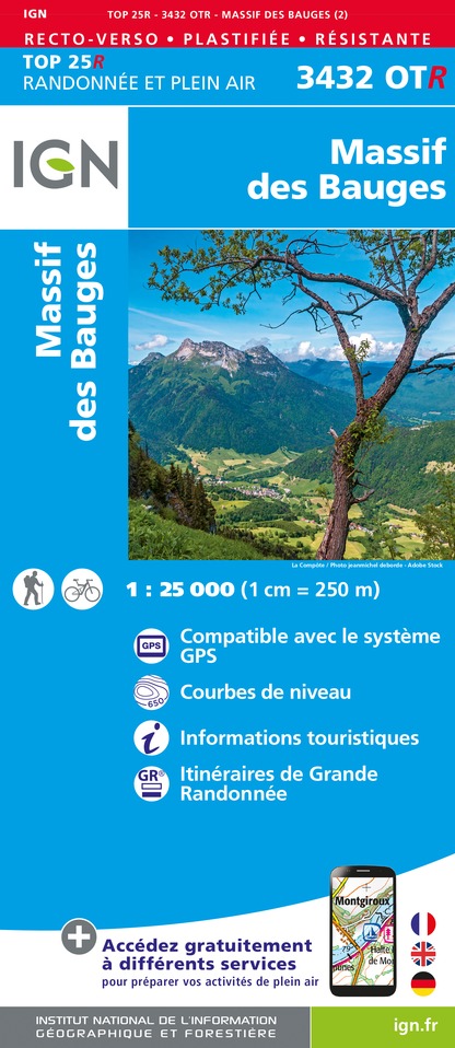
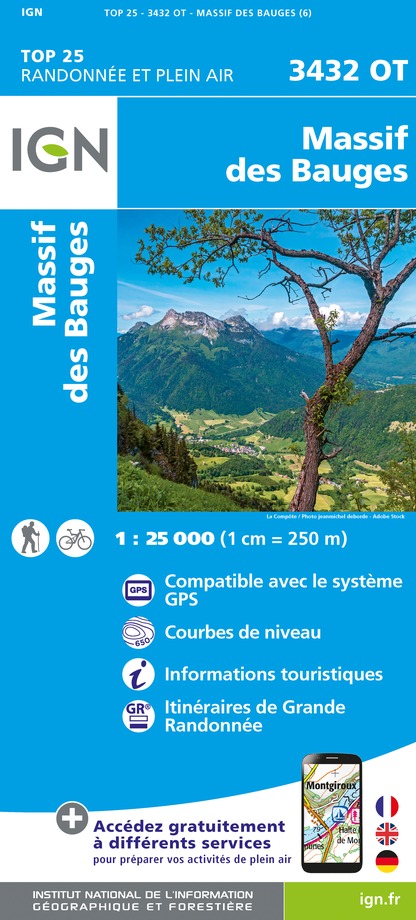
TOP 25 IGN n°3432 OT Massif des Bauges

Location complements

The trou de l'Agneau parking lot at Col de Plainpalais is located on the D912 linking Chambéry to La Féclaz. It is served by local public transport (synchro.grandchambery.fr/).

Reception complements

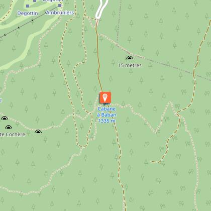
The bivouac space at Baban is limited to 15 people.

Tricky passages

Passage of the golet de l'agneau, equipped with a ladder. Not recommended for people suffering from vertigo.

Guidebook with maps/step-by-step

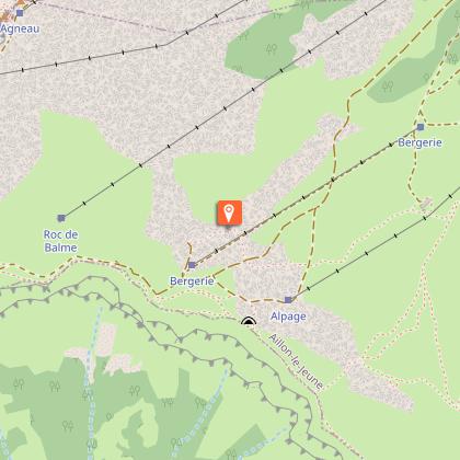
DEPARTURE: Plainpalais - Parking du trou de l'agneau
1/ DAY 1: From Plainpalais to Place à Baban / Duration: 4 h / D+ 650m / D- 500m / Difficulty level: Black
- 1- From Col de Plainpalais, follow the specific caving trail markings, which first follow the GRP route towards La Labiaz.

- 2- Turn left at the crossroads with an old ski run and climb it for a few hundred metres.

- 3- Turn right on a path that climbs through the forest, crosses the Carres clearing and reaches the scree at the foot of Roc de Margériaz.

- 4- Climb the scree to reach the Golet de l'Agneau and the ladder over the cliff.

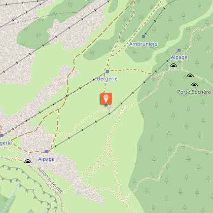
- 5- Follow the path through the "fault" that cuts into the limestone cliff and leads to the ridge at the top of the Aillons-Margériaz 1400 pistes.

- 6- Follow the ridge to the south until you reach the Tannes et Glacières trail.

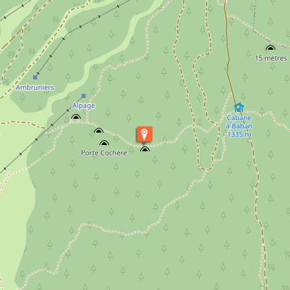
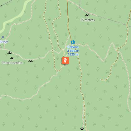
- 7- Turn left towards the Margériaz chalets and the bivouac area at Place à Baban (8).

2/ DAY 2: From Place à Baban to Plainpalais / Time: 5h30 / D+ 626 m / D- 776 m / Difficulty level: Red

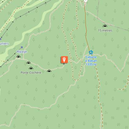
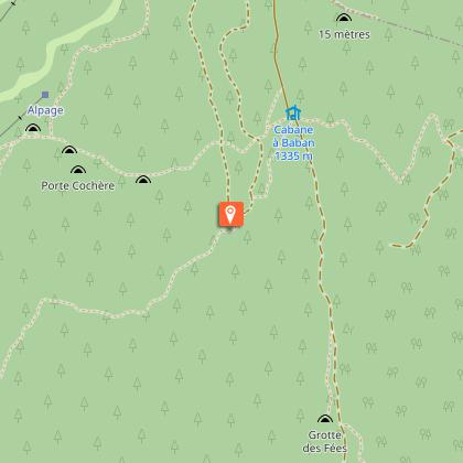
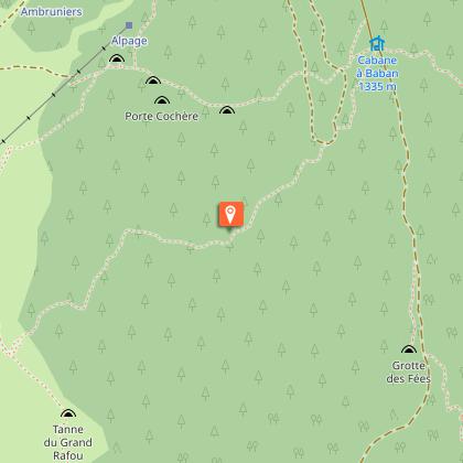
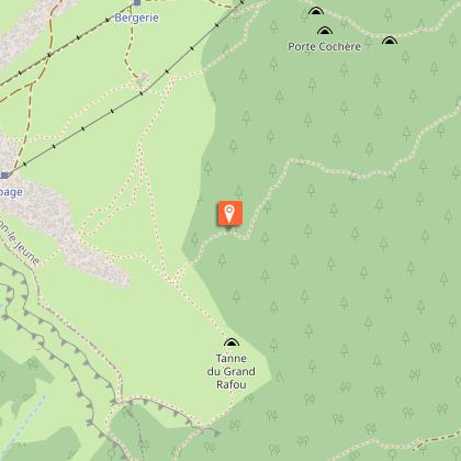
- 8- Follow the Tannes et Glacières path uphill to the Grand Rafou crossroads, at the upper limit of the forest.

- 9- Turn left towards Col de la Verne.

- 10- Still on the GRP, descend the pass to Les Chavonnes.

- 11- Continue along the flank under the Margériaz cliffs towards Labiaz (12) and then the Col de Plainpalais, where you return to the start.

Animals

Yes. Dogs must be kept on a leash in mountain pastures (presence of herds).

Data author

Ratings and reviews

To see around
See more
Open
Close
Show
Show
Show
Show
Show
Show
Show
Show
Show
Show
Show
Caution!
We have no information on the difficulty of this circuit. You may encounter some surprises along the way. Before you go, please feel free to inquire more and take all necessary precautions. Have a good trip! 🌳🥾