Alert
Alerts
La Chalp valley
Description
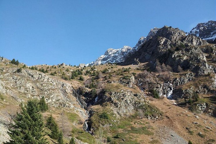
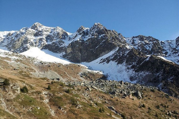
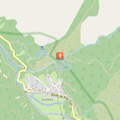
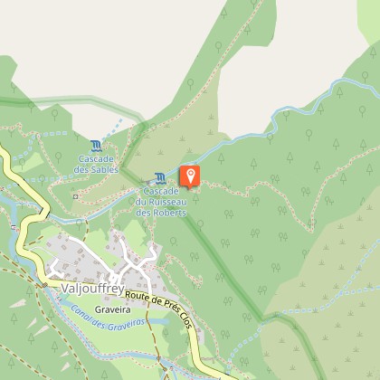
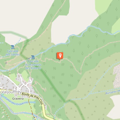
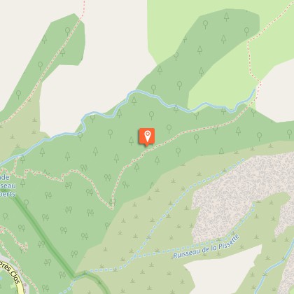
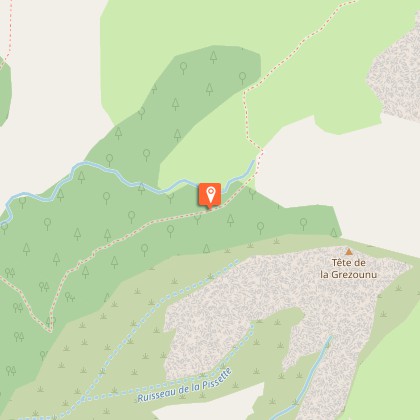
A challenging hike that starts in a warm south facing atmosphere before changing to a wilder more alpine one.Start from either the car park at the exit of La Chalp or next to the fountain. Initially, follow directions for "Cascades des Roberts" via Rue du Barquier that lead straight to the top of the hamlet. On the right, at Cotes Vincent, take the Soreïou road that climbs straight up to the last houses of the hamlet. Leaving these hoses on the right, follow the footpath (yellow signs to the entrance of the Park). At the first crossroads, you can take a detour to the Roberts waterfall before coming back to the main route. The footpath that climbs up through the dry heaths of the south facing slopes offers regular viewpoints of the valley. It then goes through a pine forest before shifting to the other slope and into a spruce forest. At the end of the forest, the footpath continues under a rocky ledge that blocks the entry to the valley and bypasses it to the left. After the ledge, the footpath ends at the bottom of the valley. The return trip will be by the same path.
Technical Information
Altimetric profile
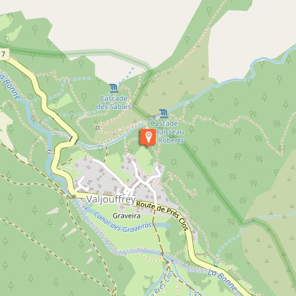
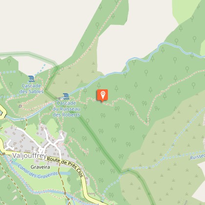
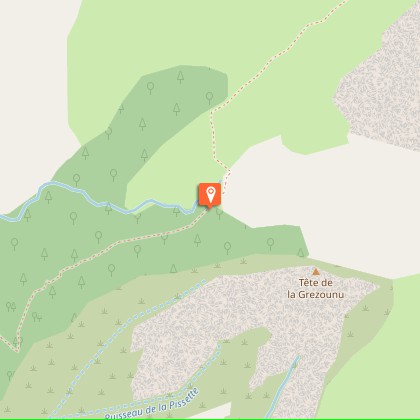
Starting point
Steps
Additional information
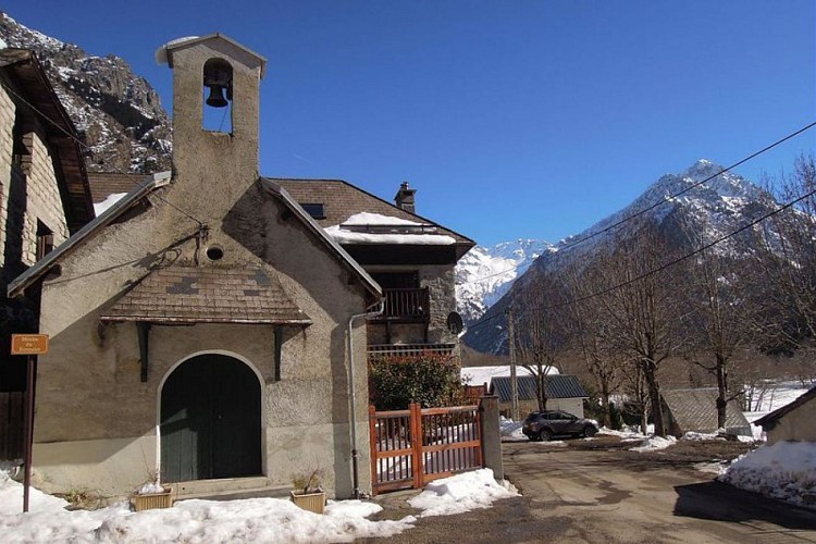
Departure
La Chalp hamlet, Valjouffrey
Ambiance
A steep climb that gives off Mediterranean scents. The first climb is across a warm, dry hillside, amidst heather moors and orchid-filled lawns, and opens up progressively into a panoramic view of the Vercor foothills. The footpath then leads into a cooler high mountain setting. At the end of the valley, it is not rare to see a few calm chamois grazing on the fine grass amongst the scree. Marion Digier, Heritage technician in the Valbonnais area.
Access
From Entraigues, take the D117 road towards Valjouffrey. La Chalp-en-Vajouffrey is the 3rd hamlet after Entraigues.
Advised parking
Either, the car park on the way out of La Chalp towards Désert-en-Jouffrey or on the chapel square next to the fountain.
Public transport
Bus from La Mure to Entraigues - Route 4120 Isere Conseil Général. Connection at « Entraigues Place » with the local Valjouffrey service (8 seater community bus) to Désert-en-Valjouffrey Bus times Monday: 12.45, Wednesday 12.45 (all year) and 7pm (except during school holidays) and return: Monday 6.30 am, 3.30 pm and Wednesday 6.30 am (all year).
Advice
The final section of this footpath is not advised at the beginning of autumn or the end of spring. The crossing at the end of the forest can be icy or snowy due to its north-facing exposition. Reminder: No campfires or dogs in the heart of the Park. Public transport: check carefully, buses do not run every day.
Is in the midst of the park
The national park is an unrestricted natural area but subjected to regulations which must be known by all visitors.
