Alert
Alerts
The 4,000 Steps


Description
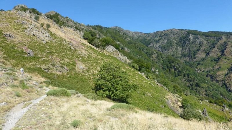
This is an emblematic trail from Valleraugue to the summit of Mont Aigoual. It uses the former postman's path to reach – after 1,220 m of height difference – the highest point in the Gard department. Exceptional panoramic views in clear weather!
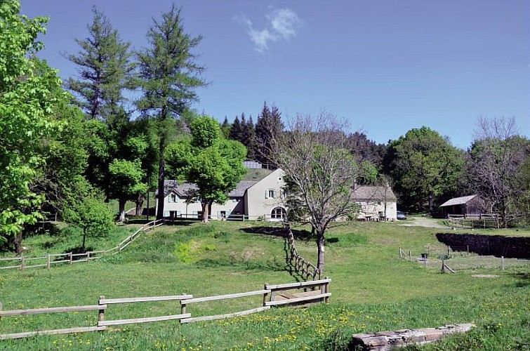
From the tourism office, head towards Valleraugue-église, go through the archway on the left and cross the Pont de la Confrérie bridge, then turn right and continue to the church. Head uphill on the left towards "Font de Trépaloup", cross the road and continue on a path on the left. Cross a track and climb to the flat area at L'Estivel. Do not take the track on the right but continue to La Fageole gully. Go uphill in the gully to end up on the D 269 road (here, a detour leads up to the Mont Aigoual meteorological observatory).Turn right to get to the crossroads of "Font de Trépaloup". Go downhill to Le Cap de Brion. In the bend, take a path on the right that goes downhill into the beech grove and joins Le Coulet by the corniche (cliff path). Take the forestry track to Aire de Côte. From here, follow the D 10b road towards the Col du Pas for 1.5 km, then at the sign for Le Fageas take the path on the right. Go downhill towards Valleraugue until you reach Les Salles valley, via the hamlet of Berthézène. Continue on the D 10 to return to Valleraugue.
Technical Information
Altimetric profile
Starting point
Points of interest
Additional information
Departure
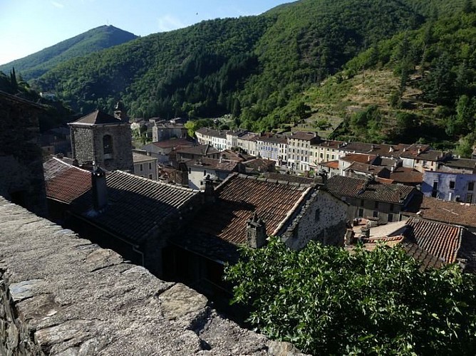
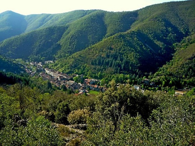
Valleraugue
Arrival
Valleraugue
Ambiance
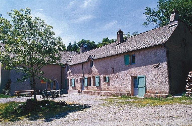
Attention, le gîte d'Aire de Côte est fermé pour la saison 2022 jusqu'à mai 2023.
Access
D 986 from L'Espérou or Pont d'Hérault to Valleraugue
Advised parking
Tourist office
Public transport
liO est le Service Public Occitanie Transports de la Région Occitanie/Pyrénées-Méditerranée. Il permet à chacun de se déplacer facilement en privilégiant les transports en commun. lio.laregion.fr
Advice
Make sure your equipment is appropriate for the day's weather conditions. Remember that the weather changes quickly in the mountains. Take enough water, wear good shoes and put on a hat. Please close all gates and barriers after yourself.
Is in the midst of the park
The national park is an unrestricted natural area but subjected to regulations which must be known by all visitors.
Data author
