Alert
Alerts
Paturage
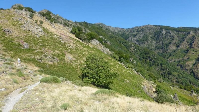
Description
This pastoral landscape was deforested by humans for livestock farming. At altitudes of 800 to 900 m, the conifers and shrubs of the montane zone already make an appearance: Scots pines, spruces and blueberries. Yellow-flowering broom has invaded some areas as a consequence of pastureland being gradually abandoned. The pastures at Estivel and Cazalis are still used by flocks of sheep. In the mid-19th century, the first reforestation efforts on Mont Aigoual led to tensions between farmers and foresters because they imposed changes in pastoral practices. Shepherds had to prevent their flocks from eating the young trees, including on the communal areas where they had previously grazed. Since then, the Office National des Forêts has not carried out any more reforestation either on pastureland or on farmland, and instead favours flocks grazing in the forest, which reduces the risk of fires.
Technical Information
Altimetric profile
Data author
