Alert
Alerts
Descent on the Draille (by mountain-bike)


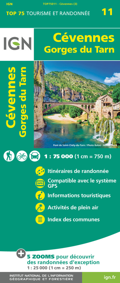
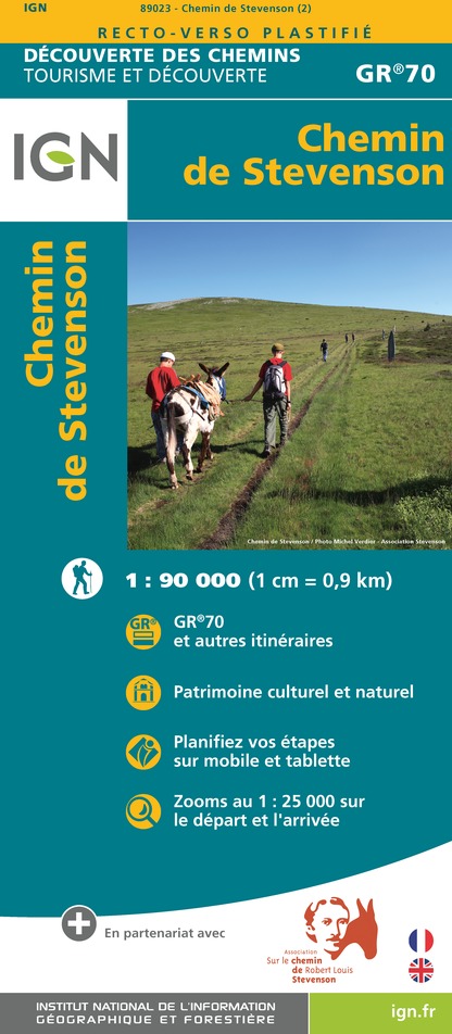
IGN cards


Description
This mostly downhill route (370 m) from Mont Aigoual to the village of L'Espérou offers you a variety of surroundings – alternately on tracks and paths – within the vast Aigoual forest.
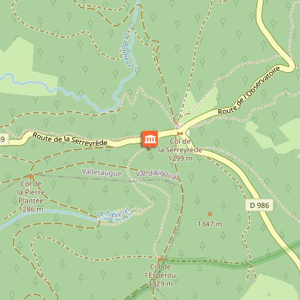
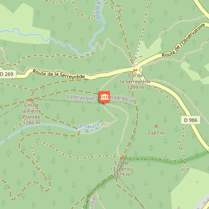
Mountain-bike route #3. From the Mont Aigoual car parks, head towards L'Espérou for the whole length of the route, via the crossroads La Source, Le Pontet, La Baraquette, La Sapinière, Balcons de l’Aigoual-car park, Prat Peyrot-Station, Le Fangas, Col de La Serreyrède, Le Trévezel, Serre de Favatel, Col de l'Espérou, Montlau, and finally L'Espérou - La Halle.
Technical Information
Altimetric profile
Starting point
Points of interest
Additional information
Departure
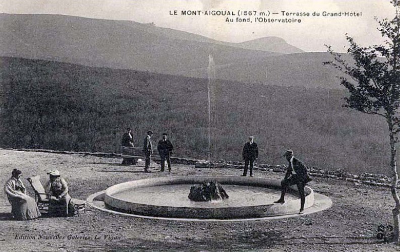
Summit of Mont Aigoual
Arrival
Summit of Mont Aigoual
Access
Head towards Mont Aigoual on the D 896 from L'Espérou. At the Col de La Serreyrède pass, take the D 269 then the D 18, Prat Peyrot; then the D 118 to Mont Aigoual
Advised parking
Car park at summit of Mont Aigoual
Public transport
D40 or D42 to Le Vigan, then CCC8 to L’Espérou
Advice
Before setting off on a trail, check that it is suitable for your activity and level of ability. Mountain-bikers must wear helmets; protective gear is recommended. Respect other trail users and stay in control of your speed and trajectory. Be careful in winter: strong winds can cause snowdrifts. Keep an eye on the forecast: violent storms and sudden floods can be dangerous. For your safety, do not venture into hunting areas – hunts in progress are indicated by signs (“Chasse en cours” or “Battue en cours”). Respect property, livestock and other users of the area. Biking off-road is prohibited.
Is in the midst of the park
The national park is an unrestricted natural area but subjected to regulations which must be known by all visitors.
Data author
