Alert
Alerts
Type of practice
Walking
Medium
3h15mn
Mountainbiking
Easy
1h20mn
Presentation
Description
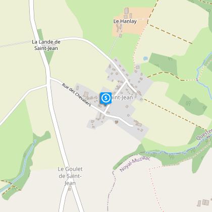
Map
Steps
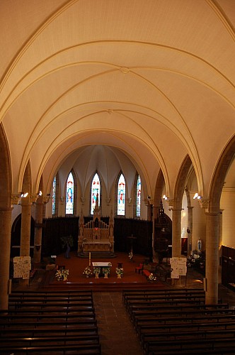
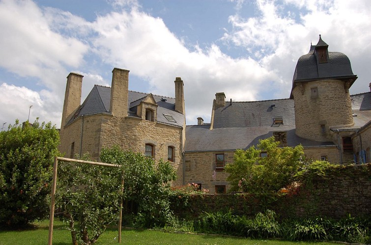
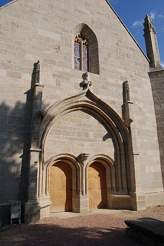
Points of interest
Ratings and reviews
See around
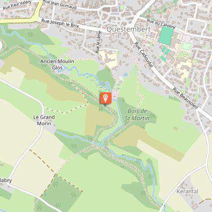
Popinettes Trail, Questembert

Credit : Pays Touristique Vannes-Lanvaux
Description
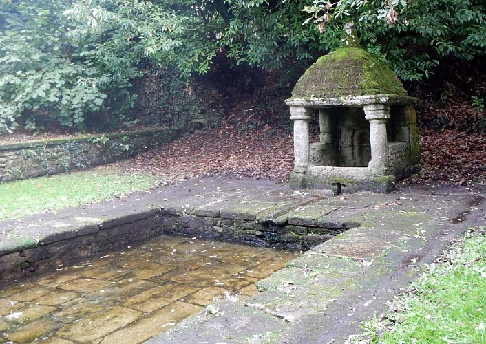
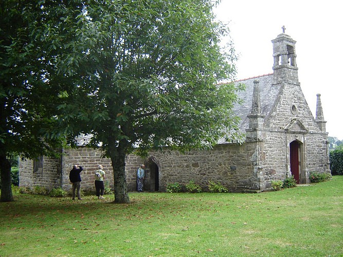
The name "Questembert" comes from the Breton word "Kisten Berh", which means "Land of Chestnuts". Near the centre of town, this trail takes you along the hollow ways towards the creek of Cohignac and then St John's Chapel. In springtime, asphodels bloom on the banks and in the woods, showing off their elongated stems and handsome spikes of white flowers. They are locally known as "popinettes", hence the name of the trail. From this trail, you can reach Berric by following the marked paths (3km).
Yellow marks
Technical Information
Walking
Difficulty
Medium
Duration
3h15mn
(1d)
Dist.
13 km
Type of practice
Walking
Medium
3h15mn
Mountainbiking
Easy
1h20mn
Show more
Altimetric profile
Starting point
9
Chemin du Pré de Cadoudal
,
56230
Questembert
Lat : 47.65923Lng : -2.45333
Steps

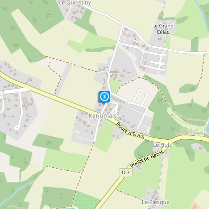
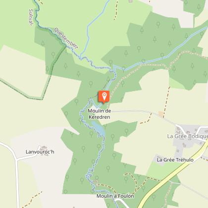
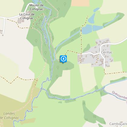
Points of interest

Data author

proposed by
Rochefort-en-Terre Tourisme
13 Rue des Halles 56230 Questembert France
Ratings and reviews
To see around