Alert
Alerts
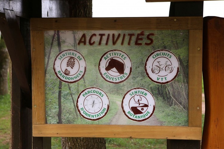
Type of practice
Car
Presentation
Description
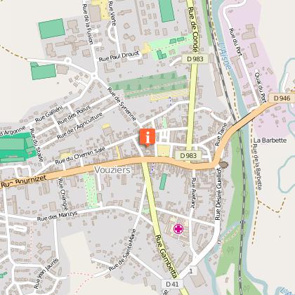
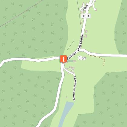
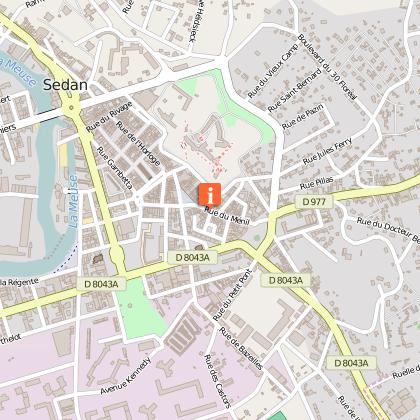
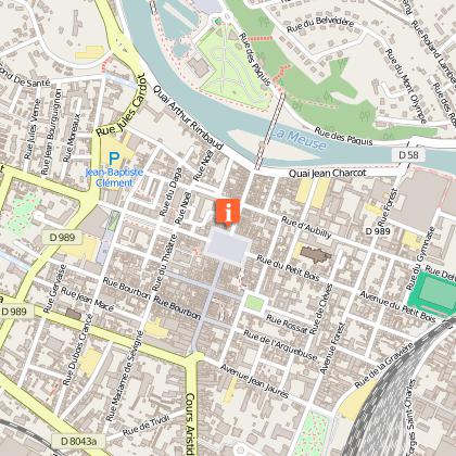
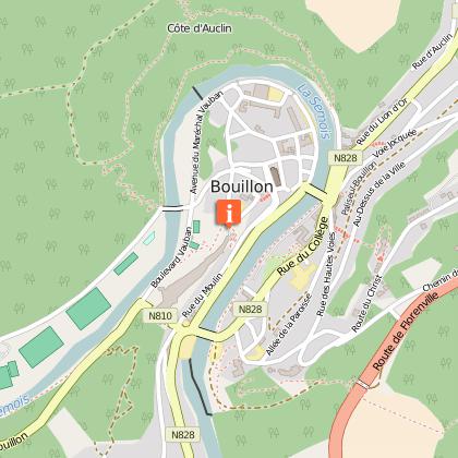
Map
Points of interest
Ratings and reviews
See around
The Abbeys Trail


Credit : Laëtis, reportages 2012
IGN cards

105 CHARLEVILLE-MÉZIÈRES VERDUN FÔRET DES ARDENNES VALLÉE DE LA MEUSE
Editor : IGN
Collection : TOP 100
Scale : 1:100 000
8.40€

D02-08 AISNE ARDENNES
Editor : IGN
Collection : CARTES DÉPARTEMENTALES IGN
Scale : 1:150 000
5.90€

EUROPE
Editor : IGN
Collection : DÉCOUVERTE DES PAYS DU MONDE IGN
Scale : 1:2 500 000
7.00€

PAYS-BAS BELGIQUE LUXEMBOURG
Editor : IGN
Collection : DÉCOUVERTE DES PAYS DU MONDE IGN
Scale : 1:300 000
7.00€
Description
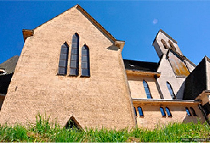
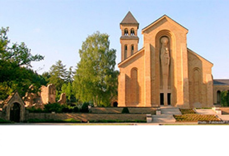
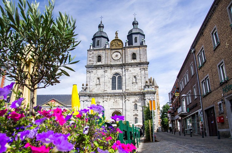
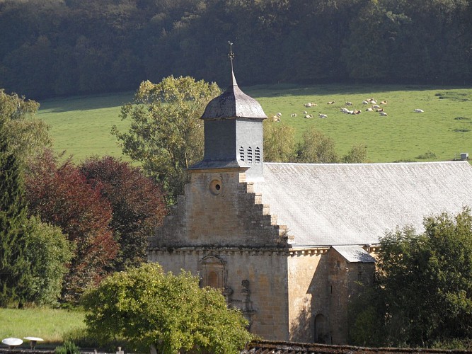
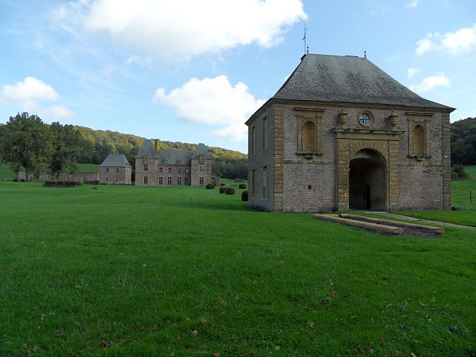
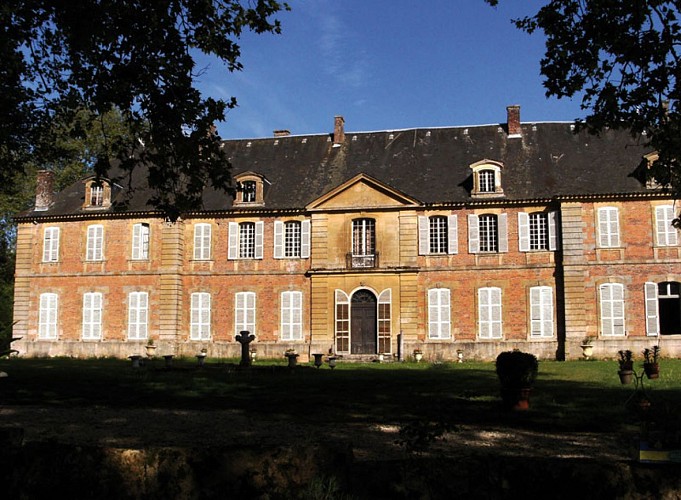
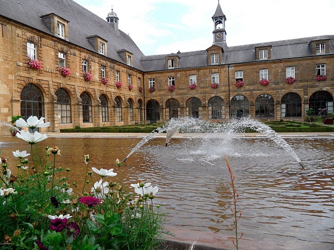
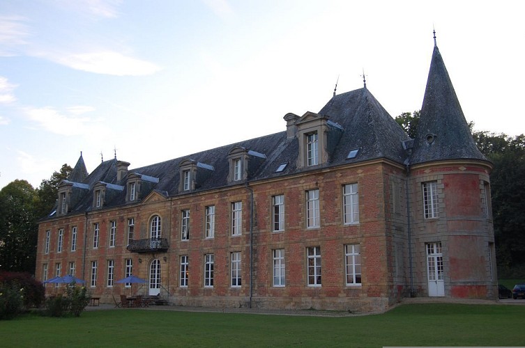
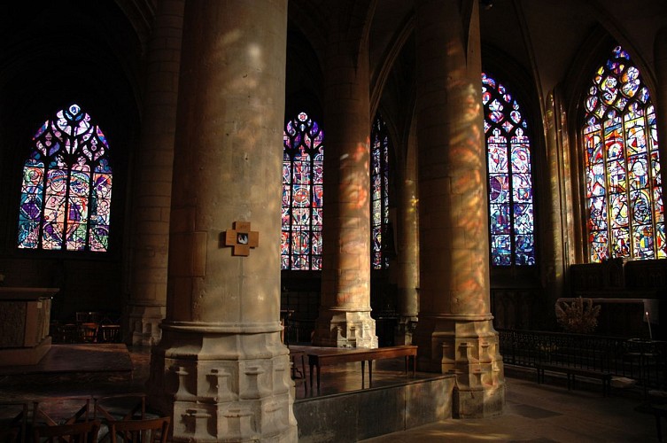
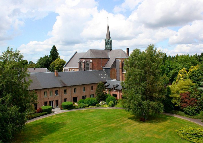
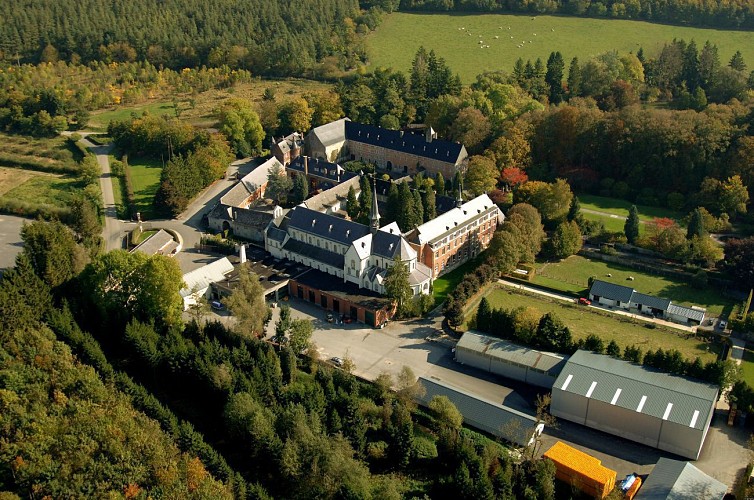
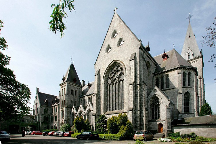
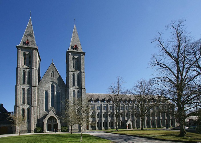
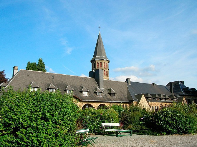
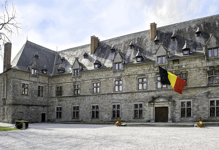
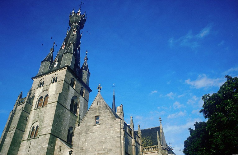
In the early Middle Ages, the Ardennes Forest was an inhospitable region of wild beauty that offered an ideal place for solitude and reflection to hermits and monks. Abbeys were founded in the most inaccessible valleys, such as Saint-Hubert, Orval and Elan, or on the banks of magnificent rivers, such as Laval-Dieu and Hastière. The monks felled trees and drained marshland, bringing daylight flooding into the forest. The uncultivated land of the Ardennes would be mastered just like the souls of its inhabitants would be converted. The abbeys would completely change the Ardennes and their influence would spread far and wide over many centuries.
Technical Information
Car
Difficulty
Not specified
Dist.
749 km
Type of practice
Car
Show more
Altimetric profile
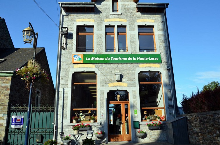
Starting point
Rue de Thibeauroche
,
6880
Bouillon
Lat : 49.79762Lng : 5.20479
Points of interest

Data author

Ratings and reviews
To see around