Alert
Alerts
The Gourteau Loop Walk
Description
Duration: 5 hours 30 minutes – Distance: 19.5 km
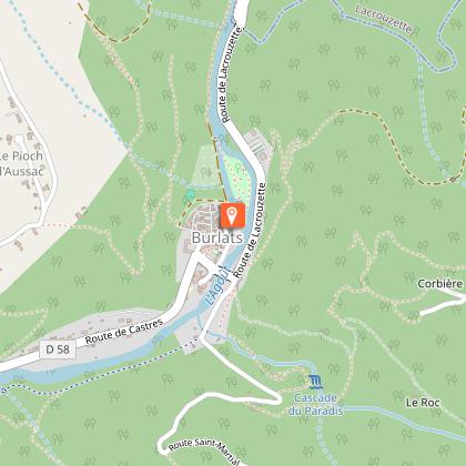
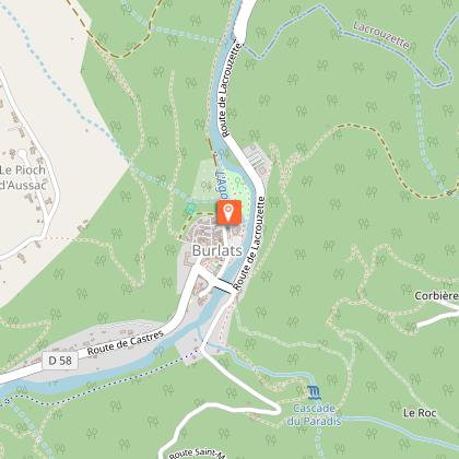
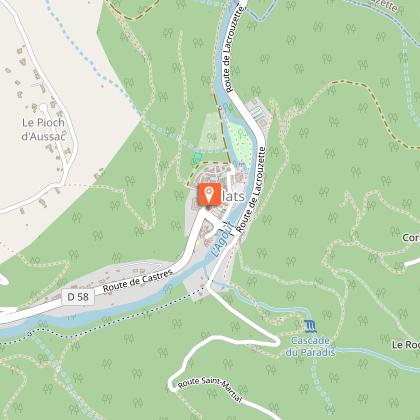
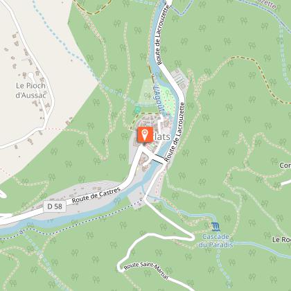
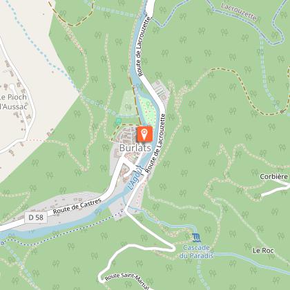
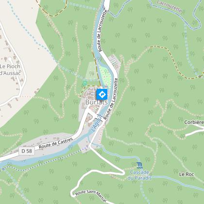
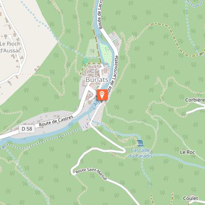
Starting from the medieval village and following the ‘Chemin des Fontaines’, this walk allows you to appreciate the scale of the wide meander formed by the River Agout and offers numerous views of the Sidobre and the Castraise plain.
Car park GPS coordinates: 43.636650, 2.319025
Treasures of Romanesque architecture nestled in the valley.
In Burlats, the Counts of Trencavel built a sumptuous residence away from the main roads, hidden in a bend of the Agout Valley. A true gem and a rare, perfectly preserved example of Romanesque civil architecture, this pavilion is named after Adélaïde, a princess with violet-coloured eyes who was celebrated in song and courted by the famous troubadours Arnaud de Mareuil and Alfonso II of Aragon.
You can find detailed directions by downloading the attached PDF file.
Technical Information
Altimetric profile
Starting point
Points of interest


Additional information
Updated by
Office de Tourisme Sidobre Vals et Plateaux - 10/09/2026
www.sidobre-vallees-tourisme.com/
Report a problem
Environments
Riverside
Town location
Waterside
Overview on river
Forest location
30 - 40 min from a train station by bike
Less than 10 minutes from a bus stop on foot
20 - 30 min from an SNCF station by electric bike
In the country
Village centre
Close to a public transportation
Bus stop < 500 m
10 - 20 min from a train station by car
Distinctions
Listed PDIPR
Open period
All year round daily.
Contact
Phone : 05 63 74 63 38
Email : accueil@sidobretourisme.fr
Website : https://www.sidobre-vallees-tourisme.com/
Type of land
Ground
Hard coating (tar, cement, flooring)
Grit
Animals
Yes
Data author
