Alert
Alerts
From St Affrique to Tournemire (maison de la vigne) (vine house)


IGN cards



Description
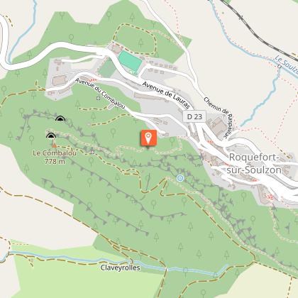
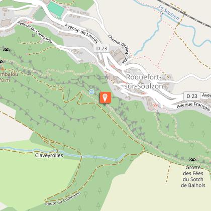
This challenging circuit that runs along the ridges of the Saint-Affricain frontal causses and over the course of buissières and undergrowth, leads to the Roquefort shrine of the Combalou rock and to the splendid Tournemire amphitheatre.From the Painlevé square, take the D993 towards Rodez for 100 m, then pass under the porch to the left and keep walking on the stony path. Take the road on the right and in the sharp curve go straight ahead on the path to carry on by a wider track which goes back to the road.Take right the stony path which wraps around the Caylus rock. To the North-East of the rock, take the path which rises progressively and overlooks the D993 to the right.At the crossroads, fork to the right on the track towards the ridges. The slope is steep. Walk along the cedar grove up to the ridge throughout pasturelands and groves of trees (enjoy the beautiful view over Caylus and St Affrique). Walk through the long bouissière that leads to the village of Tiergues.Walk across the village and before the exit, turn to the left to reach the graveyard. There, cross the old road and take the street between the sheepfold and the castle, walk around the castle surrounding walls and go through a tunnel under the road. At the tunnel exit, walk up to the left and cross the D3 road, take the path opposite that runs along the D993. Continue along this track. Cross the road and carry on to the right for 100 m, then take the path on your left. Walk down to the Laumière castle and continue on the small road up to the D992. Carry on opposite in the artisanal zone to reach a ford. Once you have crossed the stream, fork to the right and walk along the Soulzon up to the tarred bridge.In the first curve after the bridge, take the path on the left which runs uphill throughout the Conteyne woodland. Leave a path on the left, walk across the small road and carry on to reach the Roquefort Tourist Office. Walk around the Tourist Office, pass along the stadium and walk uphill on main street. Nearby a small carpark to your left, take the ascending street to the right beside a big building (ancient hotel). Do not take the covered street but instead turn to the right and just after, walk up to the left on a track running along the cliff (when on the ledge, turn back and take a look at the two Baragnaudes pillars). Go straight on these alleys under the cliffs. At the Caves entrance, under a porch, take the Créance Street, climb the stairs and enjoy the remains of the St Pierre chapel (viewpoint indicator).At the view point indicator, walk across the grassy land and climb up a steep uphill path. Carry on throughout the undergrowth, then on open ground. Walk along the base of the cliffs of the Combalou with their typical great fracture.When arriving at the endpoint of the cliff and at the intersection of tracks, take the left path, cross the road and walk your way down to Tournemire (ancient railway city) on the Trumpet path. Below, walk around the water treatment plant, carry on the path along the left bank of the Soulzon. Walk across the Soulzon, then cross the railroad at the level crossing. Take left the rue de la Barrière, then the rue Française. At the car park of the former railway station, go up to the right and walk across Main street. You then reach the house of the Plesiosaur, a marine reptile which was discovered in the black soils of Tournemire.Keep walking on the road lined up with plane trees. Opposite the ancient convent, turn left towards the Brias amphitheatre via the chemin de la Fous. Before the bridge that goes across the Brias brook, take left the path that leads to the Tournemire Sensitive Natural Space. Arrival at . Arrival at the gite “la maison de la vigne".
Technical Information
Altimetric profile
Starting point
Steps
Points of interest
Additional information
Public transport
To get more details click on: site internet de l'Office de Tourisme and on Occitanie TransportsThere is a bus station in St Affrique (lines 202, 2016, 2018) and a railway station in Tournemire (regional line).
Is in the midst of the park
This itinerary is located in the World Heritage zone Causses and Cévennes, mediterranean agropastoral cultural landscape.
Advised parking
Place Foch ou place Leclerc
Access
Via the A75, 46 or 47, then follow the D999 towards Saint-Affrique / Albi. Arrival in Saint-Affrique via the D 999. From Millau drive across the town, cross the river Sorgues, Foch square is next to the bridge. From Albi, head towards the town centre, Foch square is next to the public park.
Arrival
Maison de Vigne, Tournemire
Ambiance
The hike that goes from the Caylus rock which towers above Saint-Affrique to the Combalou rock that watches over the caves of the king of cheeses, is a wonderful opportunity to get away through an agro-pastoral land. Scattered along the way with typical Caussenard buildings, the trail ends up with the beautiful cliffs of the Tournemire amphitheatre. This circuit is the first leg of the path that runs throughout the pays du Roquefort.
Departure
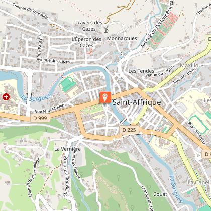
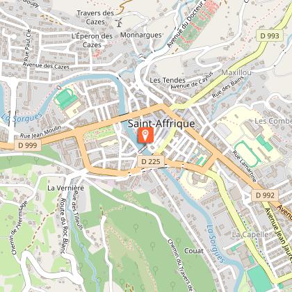
Car park situated on Foch square in Saint-Affrique
Data author

