Alert
Alerts
Sommet du Laquina
Description
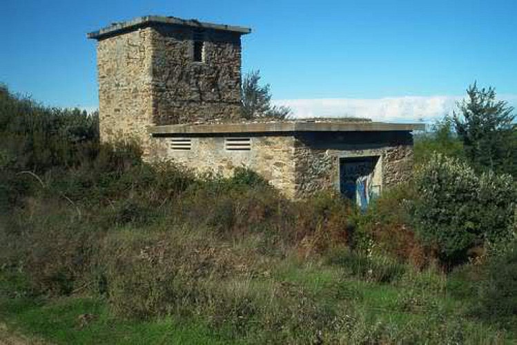
This is where the Germans built Station 37 Telemach Y Geräte Jägermess
Stellung, occupied by the 20th Luftwaffe Ln-Rgt52 company.
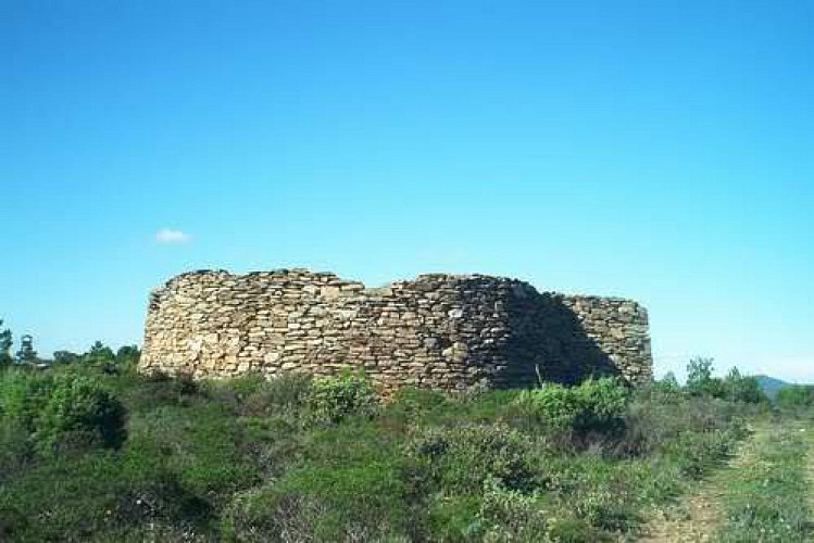
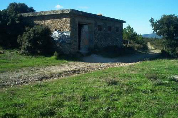
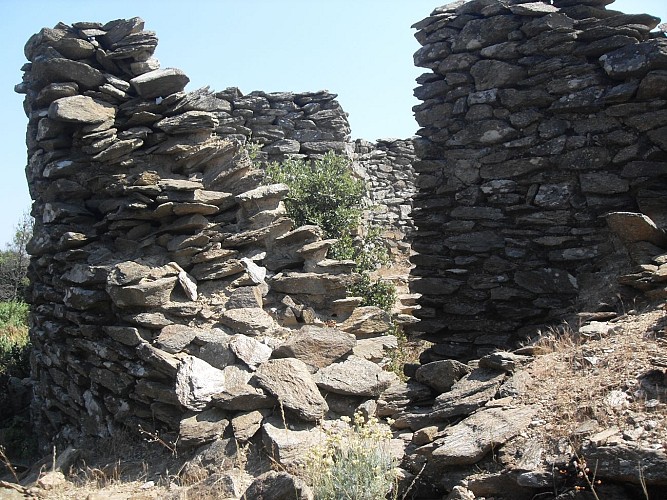
This station of control and guidance of the friendly hunt consisted of:
- The concentration of the 3 Freya radars, 150 to 200m apart from each other to the west,
- Devices constituting the 3 Y lines in the eastern part,
- 3 casemates which contained the operators and the apparatus necessary for the operation of the "Heinrich Towers" (direction-finders),
- 3 casemates implementing the "Hans pylons", transmitters implementing the IFF system embedded in the devices of the friendly hunt,
- A Heinrich tower and a Hans pylon which constitute a Y-Linien (Y-lines).
This system made it possible to follow and guide several "friendly" hunting formations (several Y Lines) towards their objectives.
On August 16, 1944, VALLIER and his men, accompanied by the villagers, attack the radar but the enemy was already gone. This resort seems to have never been in service.
Technical Information
Altimetric profile
Data author
