Alert
Alerts
Hiking : At the foot of Roc d'Enfer


IGN cards


Description
A beautiful hike awaits you at the foot of the majestic Roc d'Enfer. The trail crosses vast alpine meadows dotted with flowers of a thousand colors.
Grazing cows and traditional chalets punctuate the path up to the Col Ratti, the highest point offering sublime panoramic views of Mont-Blanc and the Aravis mountains.
Don't be surprised if you spot a herd of chamois: they abound in this Natura 2000 area.
Technical Information
Altimetric profile
Starting point
Points of interest
Date and time
- From 01/05/2026 to 31/10/2026
Additional information
Open period
From 01/05 to 31/10 daily.
Accessible outside the snow season and subject to weather conditions. Check with the Tourist Office beforehand for current access conditions. Recommended season: spring - summer - autumn.
Updated by
Vallée d'Aulps Tourisme - 01/12/2025
www.valleedaulps.com
Report a problem
Environments
Mountain view
Panoramic view
Mountain location
Contact
Phone : 04 50 79 65 09
Email : info@valleedaulps.com
Website : https://www.valleedaulps.com
Facebook : https://www.facebook.com/valleedaulpstourisme
Type of land
Stone
Ground
Grit
Not suitable for strollers
Location complements
Access by car from Thonon via the D902 then the D328 to the village of Essert-Romand
- then take the Graydon road
- climb for several kilometers until you reach Graydon
- the parking lot is in front of the buvette du roc d'Enfer
Topo guides and map references
Map references :
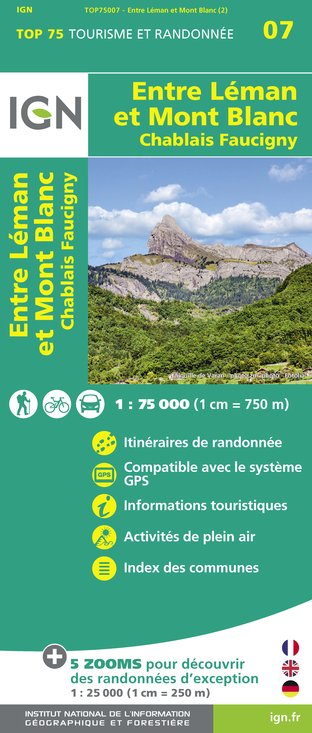
Map: IGN Top 25, 3528 ET, Morzine
Reception complements
- Choose your route according to your physical condition and the weather conditions.
- Follow the instructions for signposting.
- Don't set off too late in the afternoon, to make sure you're back before dark.
- Take sufficient food and water with you. Mountain sports require a lot of energy.
Guidebook with maps/step-by-step
1/ Start from the Graydon car park in front of the refreshment bar. Take the path on the left, located about 20 metres before the refreshment bar. Follow the direction of ‘Col Ratti’ from the signpost. You will climb up the entire Graydon mountain pasture, and the path will be quite steep at times.
2/ After climbing the entire mountain pasture, you will arrive at a ridge at the foot of Roc d'Enfer. Take the path, stay to the right on the path, then choose the trail that goes to the left. Follow the directional markings: yellow arrows on a green background. There are numerous stakes to guide you. Continue climbing until you reach a pass, which is the highest point of the route. Once you have crossed the combe, the path will begin to descend gently.
3/ Once you are further into the valley, you can choose between the path on the left and the path on the right. Choose the one on the left. The one on the right takes you towards the summit of Roc d'Enfer, which is a very dangerous route and not recommended (there is a warning sign). Once again, follow the directional markings: yellow arrows on a green background.
4/ Once at Col Ratti, begin your descent towards Col de la Basse by following the sign. The descent is quite steep.
5/ At Col de la Basse, take the path on the left towards Les Pâquis. You will begin a descent along the mountain.
6/ At Les Pâquis, follow the signs for Les Praz, 200 metres further on. From there, follow the signs for Graydon via Plan de Criou, going up the road in the shade of the trees. The climb is gentle before levelling out.
7/ From the ‘Sur Lachaud’ sign, take the climb on the left, still heading towards Graydon via Plan de Criou, before turning right as indicated by the markings (yellow arrows on a green background). You then descend through the forest before arriving at a clearing: Plan de Criou.
8/ At Plan de Criou, continue on the left, following the sign for ‘Graydon’. You will gently descend the road.
9/ At ‘Devant’, continue straight on towards Graydon. The descent is still gentle and you will start to enter a forest path.
10/ You will exit the forest at Les Places. Go up the asphalt road (on the left) following the signs for Graydon. At the end of the road, you will be back at the Graydon car park.
Animals
Yes. Dogs must be kept on a leash due to the presence of herds.


