Alert
Alerts
The rock of the Lion


Description
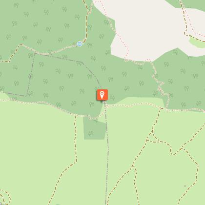
Beautiful panoramas on the village of La Bastide-Pradines, built on its rocky spur, mark this circuit of the Larzac by the Lion's Rock, an easily recognizable ruiniform.From the car park (400 meters after the tunnel, coming from La Bastide-Pradines), return to it on 300 meters, then turn right on 150 meters until the old railway station.Turn right the disused railway on 600 meters (on each side, look at the arches of retaining walls).Be careful at the traffic of the tourist train “Sur les Rails du Larzac” from Easter to All Saints’ Day. Take the trail on the right which rises gently through the woods along the valley before crossing to stay on the right bank.Cross the gate and ascend the valley by a pretty path lined with boxwood, called “bouissière”. The path turns left, crosses a first ravine, then rises steeply along a second ravine. Take the track on the right to the cave of the Resistance (rock shelter).Continue climbing in the same direction. The track becomes a steep gravel path climbing towards the plateau (follow the signs).Walk along the edge of the plateau to the right to the rocks (panorama on the Cernon Valley and the ruiniform rocks of the Larzac Causse; pulsatile anemones, asphodels, orchids depending on the season) and arrive on a track (roman road) climbing from the valley.Possibility to reach the “Le Rocher du Lion“(The rock of the Lion) in 20 minutes go-and-back.Go down the right track.At the junction, veer left taking the path lined with boxwoods on the hillside, cross the short-grass prairies and continue on a path in the pinewood. Turn right to find the car park.
Technical Information
Altimetric profile
Starting point
Steps
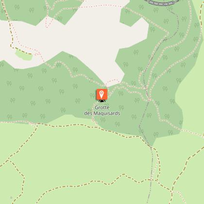
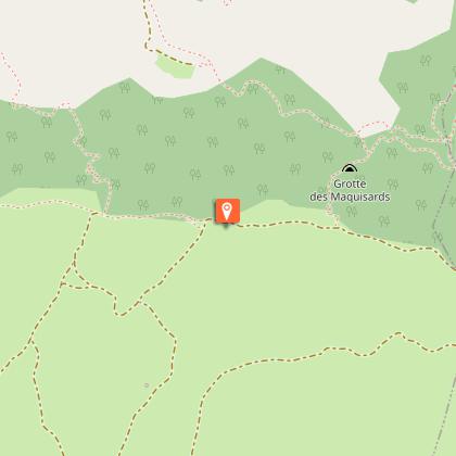
Points of interest


Additional information
Advised parking
400m après le tunnel sur la route de l'ancienne gare (route étroite).
Public transport
Think about carpooling and hitchhiking: Rezopouce ; Aires de covoiturage
Access
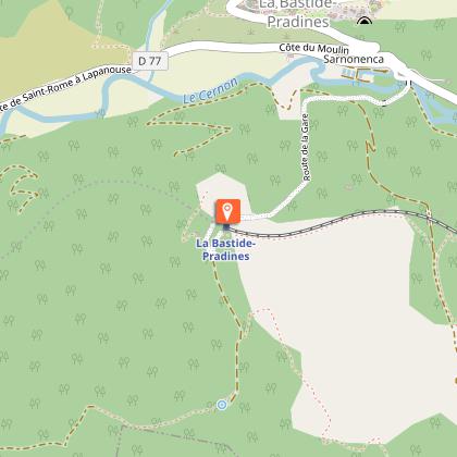
La Bastide-Pradines is located 25 km south of Millau by the D992 and D77.Parking : take at the south of the village the small road that spans the Cernon and goes to the old railway station (narrow road). Park 400 meters after the tunnel.
Ambiance
La Bastide-Pradines, an eagle’s nest overlooking the Cernon Valley, welcomes you for an escape on the Larzac trails. Orchids and asphodels in spring, angel hair (stipa pennata) in June, glowing hues in autumn, will embellish this hike which the pinnacle is the imposing ruiniform called the Lion’s Rock, well camped on its front legs.
Arrival
La Bastide-Pradines
Departure
La Bastide-Pradines
Data author
