警报
警报
练习类型
徒步
容易
2h20mn
Presentation
地图
兴趣点
评级和评论
周围的看点
Vallon des Faulx et passerelle des vendangeurs
技术信息
徒步
难度
容易
持续时间
2h20mn
距离
6.6 km
练习类型
徒步
容易
2h20mn
显示更多信息
高程剖面
起点
Place de la mairie
,
01250
Ceyzériat
Lat : 46.179191Lng : 5.322255
兴趣点


补充信息
Environments
河畔
山景
森林位置
在水边
村中心
2公里之外的村庄
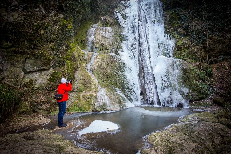
瀑布景观
Updated by
Bourg-en-Bresse Destinations - Office de tourisme - 01/04/2026
www.bourgenbressedestinations.fr
Report a problem
Open period
全年.
Contact
Phone : 04 74 22 49 40
Email : accueil@bourgenbressedestinations.fr
Website : https://www.bourgenbressedestinations.fr
Facebook : https://www.facebook.com/BourgenBresseTourisme
Type of land
碎石
土壤
砂砾
数据作者

6 avenue Alsace Lorraine 01000 Bourg-en-Bresse France
评级和评论
周围的看点